Hong Kong
In this zone, we explore maps and images of Hong Kong from the early colonial times. The three maps by European mapmakers present Hong Kong in its surrounding waters, and in the bigger geographic context of the Pearl River Delta and Guangdong. A set of printed views of the Hong Kong coastline, and another set of photographs showing panoramas, give us a glimpse of the views of this young and growing city in the 19th century.

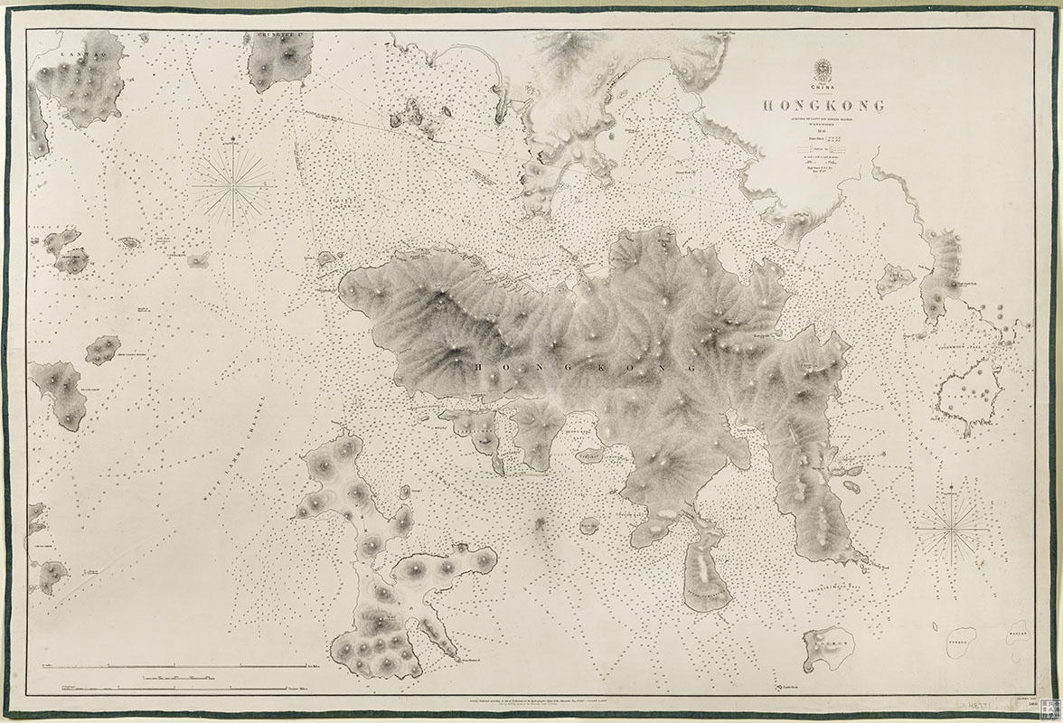
Charted by Captain Sir Edward Belcher (1799-1877) of the British Navy in 1843, this serves as the foundation stone of Hong Kong maps. It was based on the first British survey of Hong Kong and covers the entire Hong Kong Island, Kowloon Peninsula, Peng Chau, Lamma, and other outlying islands. The map presents impressive details, especially on the north side of Hong Kong Island around Victoria Harbour. You can see Queen's Road as well as buildings such as barracks, post office, hospital, and cemetery.

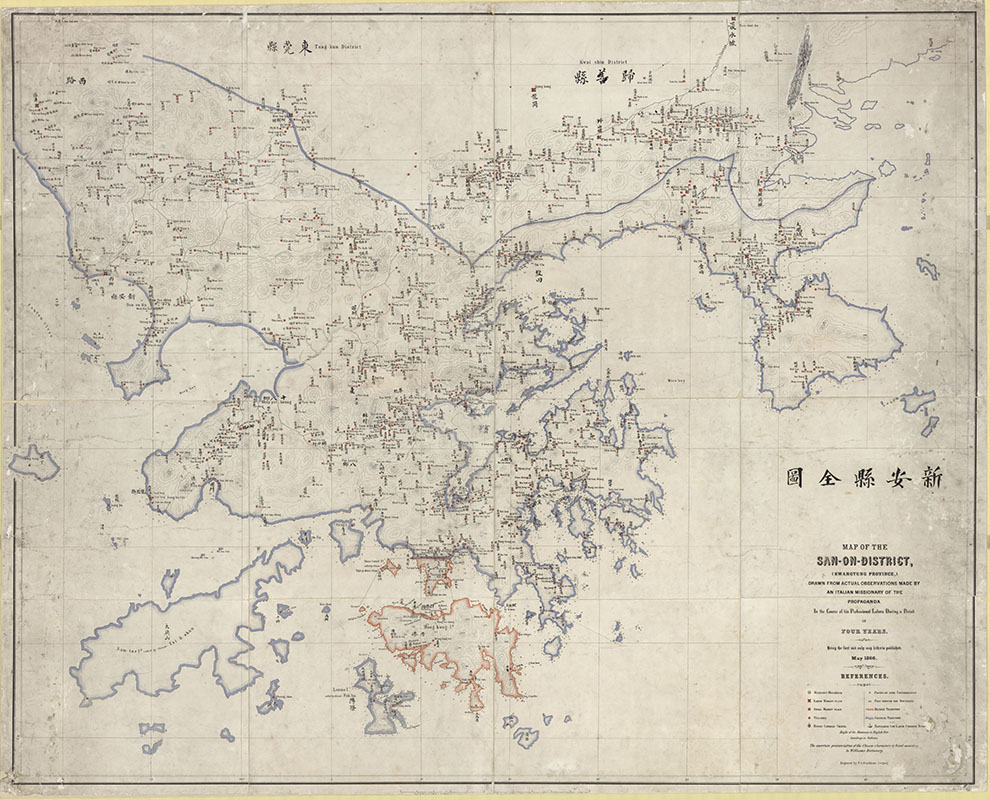
Map of the San-On District
Leipzig, 1866
Simeone VOLONTERI (1831-1904)
85 x 107 cm
Private Collection from Mr. Ronald Tham
85 x 107 cm
Private Collection from Mr. Ronald Tham
The map features the current Bao’an district in Guangdong, including Hong Kong after British occupation. The boundary of the colony is shown in Kowloon. Place names are given in both Roman and Chinese scripts. In 1860, Simeone Volonteri joined the mission in the Roman Catholic Diocese of Hong Kong; he produced this map during this period.