


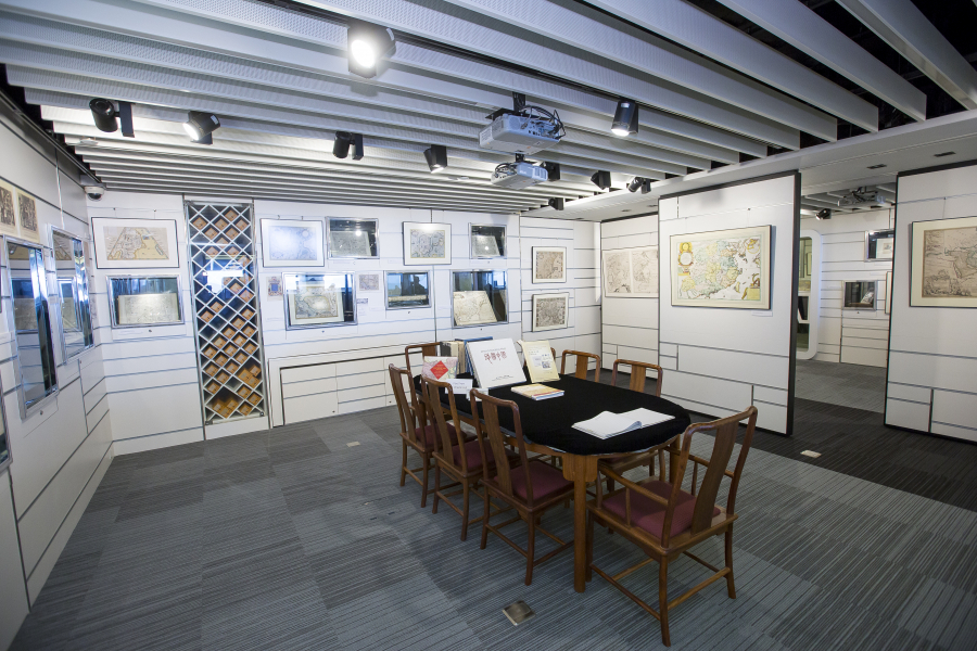
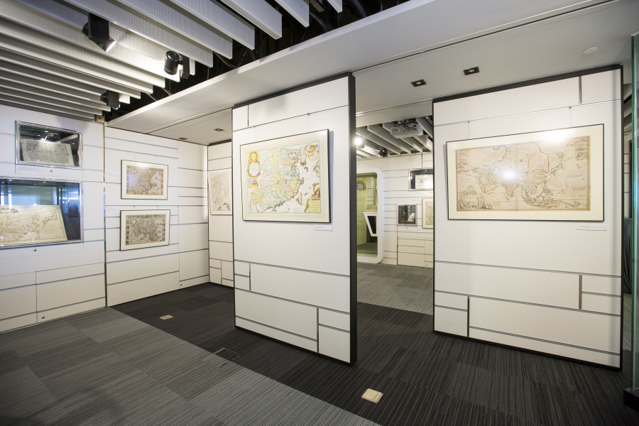
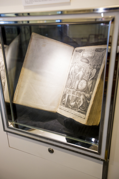
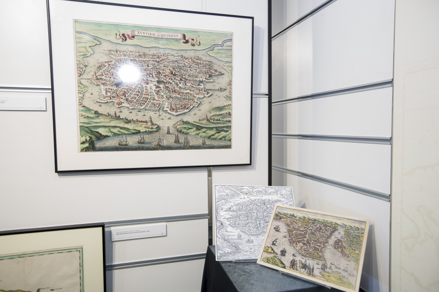
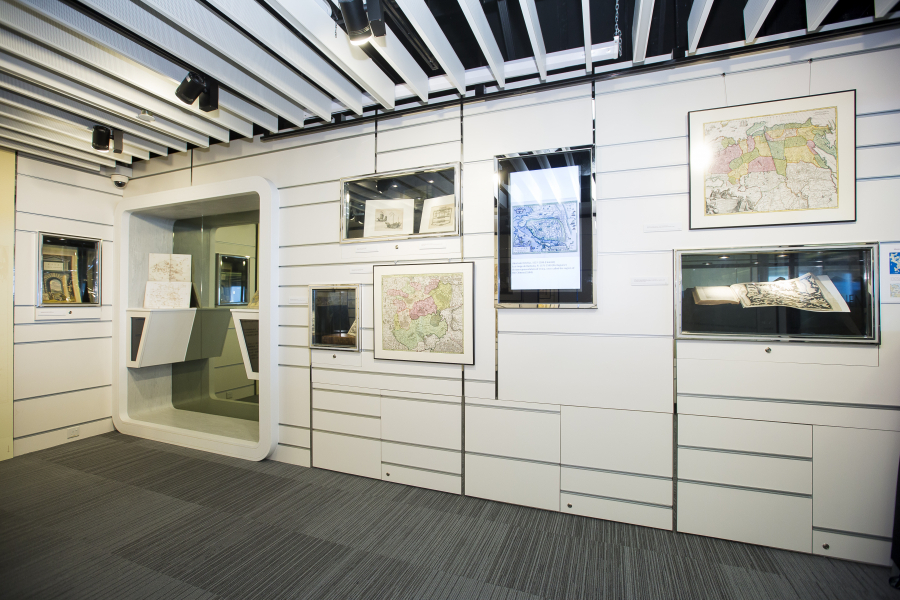
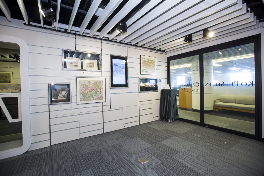
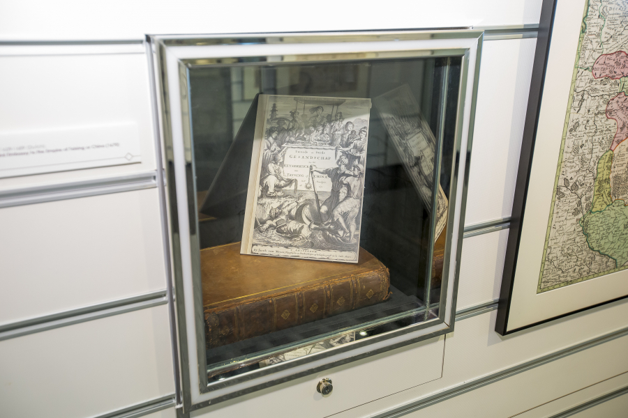
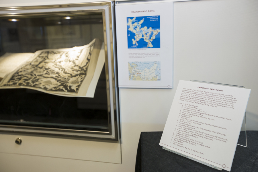
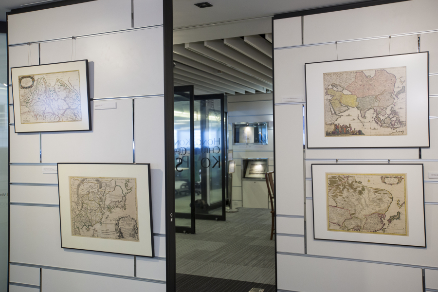
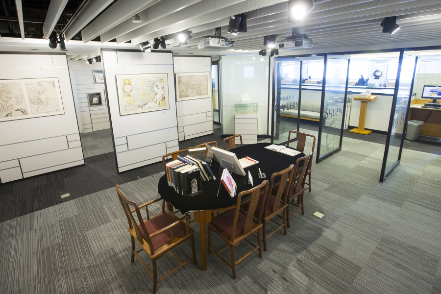
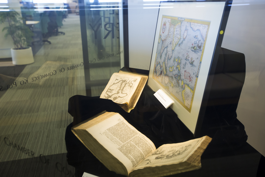
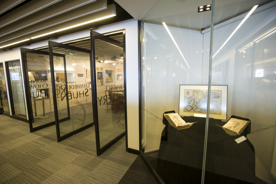
The unique hand colored maps and antique books from the Library Special Collections displayed in this exhibition offer different stunning visions of China and Central Asia spanning three hundred years of European cartography (15th to 18th centuries), from fabulous dog-headed monsters to maps so precise they can be hardly improved upon by modern GIS.
When Marco Polo (1254-1324) went to China, he did not have maps to guide him, just the received knowledge of travellers and old tales from antiquity. At that time, the Silk Road was under the control of the Mongols (known in Europe as “Tartars”). Central Asia and Northern China (Cathay) were therefore known as “Tartary”. When the Mongol empire collapsed in the late 1300s and the Silk Road was blocked, no new information went to Europe for centuries: Europe’s oldest printed maps, dating from the early 1500s show “Tartary” inhabited by monsters and with the Great Khan Kublai (1215-1294) still in command.
When the first Portuguese travellers came to southern China by sea in the 1520s, they followed Marco Polo in calling it “Mangi”. It took the Europeans two more generations to establish that Mangi and Cathay referred to just one country: China. It took them even longer to draw maps that resembled China’s real shape and reflected its native names.
At the eastern and northern borders of European maps of China, though, the names from antiquity and from Marco Polo were still used for centuries; and almost any land from Russia to China was still labelled as unknown Tartary.
Only in the 1700s, with the new scientific approach to exploration and the freer circulation of knowledge, did European cartographers stop using the term “Tartary”. This happened when the Kangxi Emperor (reigned 1661-1722) ordered a detailed survey of his empire, helped by Jesuit scientists, who covertly sent the resulting maps back to Europe, resulting in a large Atlas of “Greater China”. Thus, the “modern” era of western mapping of China was born.
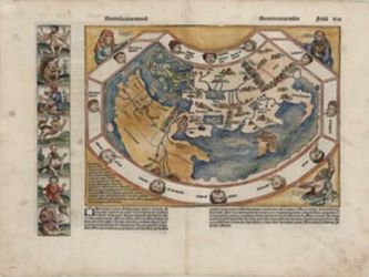
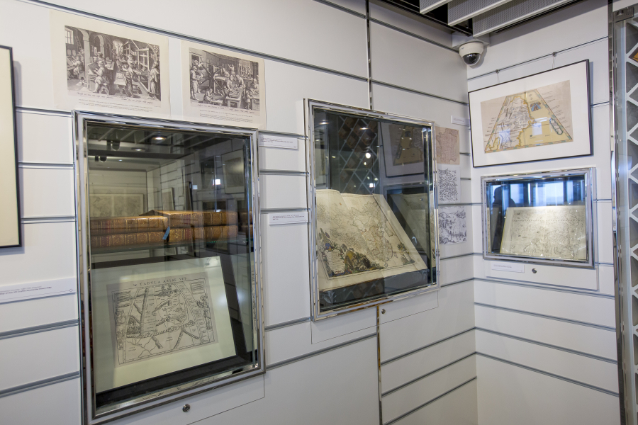
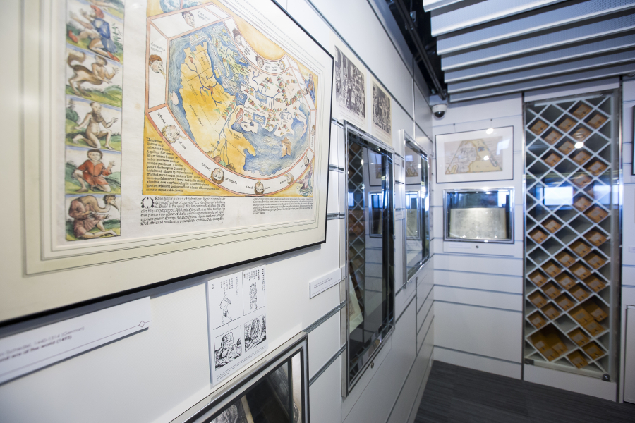
The second era of the world (1493)
Hartmann Schedel, 1440-1514 (German)
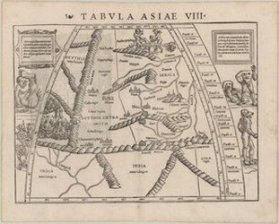
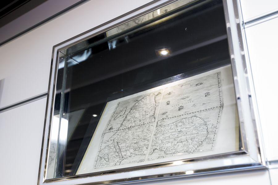
Map of Asia VIII: Scythia beyond the Imaus (1540)
Sebastian Munster, 1489-1552 (German)
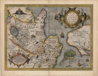
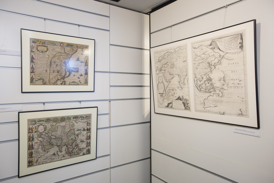
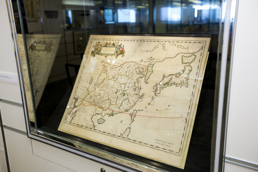
Map of Tartary, or The Kingdom of the Great Khan (1570)
Abraham Ortelius, 1527-1598 (Flemish)
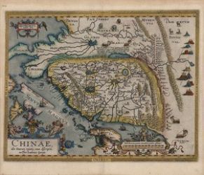
A new representation of China, once called the region of the Chinese (1584)
Abraham Ortelius, 1527-1598 (Flemish)
Luis Jorge de Barbuda, fl. 1575-1599 (Portuguese)
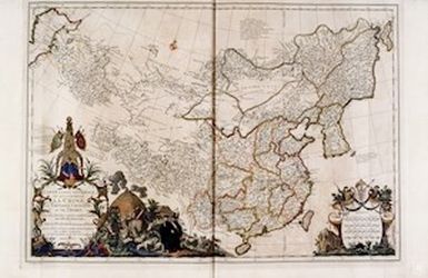
Most general map of China comprising China, Chinese Tartary and Tibet (1737)
Jean Baptiste Bourguignon d’Anville, 1697-1782 (French)
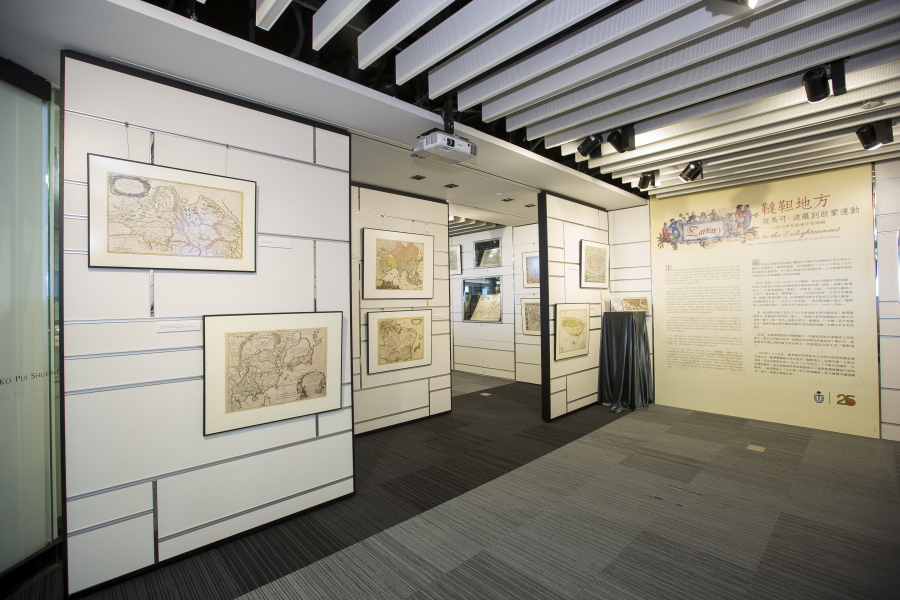
Changing images of China and Central Asia from Marco Polo to the Enlightenment
Date: 3 November 2016
Time: 12:00 – 1:30 pm
Venue: Multi-Function Room, LG4
Speaker: Dr. Marco Caboara, Digital Scholarship and Archives Manager
Language: English
Registration: All are welcome
Enquiries: Tel:: 2358 6710 / Email: library@ust.hk
Description
The talk will describe a selection of the unique library’s Special Collection of printed hand-colored maps of China and Asia now exhibited on the KPS gallery on the library’s first floor. It will show how European maps from 1500 to 1750 represented China and “Tartary”, the part of Asia originally dominated by the Mongol Empire of Genghis Khan, starting from Marco Polo’s trip in 1280 and reaching the era of scientific cartography of the 1700s. It will describe different styles of maps and their striking visual features (sea monsters, fantastic city views, comic book-like illustrations).
It will also address the following questions:
- Did Marco Polo really go to China?
- Why did the Portuguese come to China, and why were they the first Europeans to come by sea?
- Why most of the great European mapmakers were Dutch?
- Can Old Maps be used to justify modern borders?
A guided tour will follow the talk.
The tours will be guided by Dr Marco CABOARA, Digital Scholarship and Archives Manager in the Library. He is an Italian scholar with a background in history of the Silk Road and Classical Chinese linguistics.
In the tours, Dr CABOARA will introduce the unique hand colored maps and antique books from the Library Special Collections now on display in KPS Gallery. These maps offer different stunning visions of China and Central Asia spanning three hundred years of European cartography (15th to 18th centuries). Dr CABOARA will tell the story of why China was known as “Tartary” and will also highlight the historical background and some of the special features and graphics of several maps that are representative of the period.
Dates
Oct 19, Wed, 12-1 pm
Oct 27, Thu, 1-2 pm
Nov 9, Wed, 12 -1 pm
Dec 6, Tue, 1-2 pm
Jan 10, Tue, 1-2 pm
Jan 19, Thu, 1-2 pm
Feb 7, Tue, 12-1 pm
Feb 15, Wed, 1-2 pm
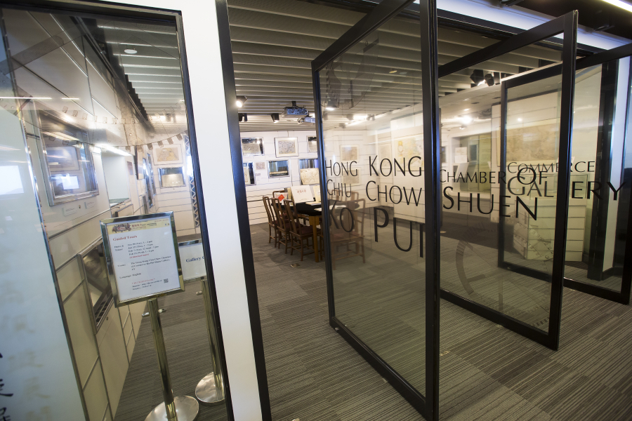
The Hong Kong Chiu Chow Chamber of Commerce Ko Pui Shuen Gallery
Monday – Friday:
9:00 am – 5:00 pm
Saturday, Sunday and public holidays:
closed