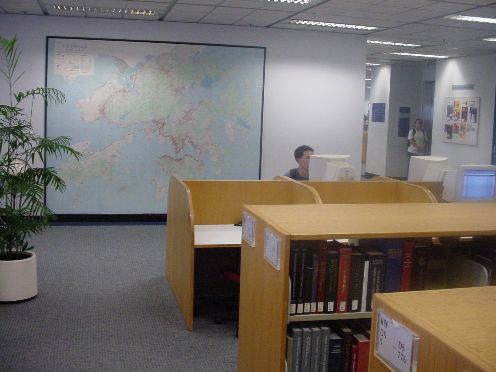


Wall Map of Hong Kong Updated
You probably use a Hong Kong map often. When you check a bus route, explore a hiking trail, find your way to a restaurant …, you use a map, most likely a digital one on your mobile device. For a change of perspective, I invite you to look "up" rather than "down" on your phone – come to the Library to experience a large wall map of Hong Kong!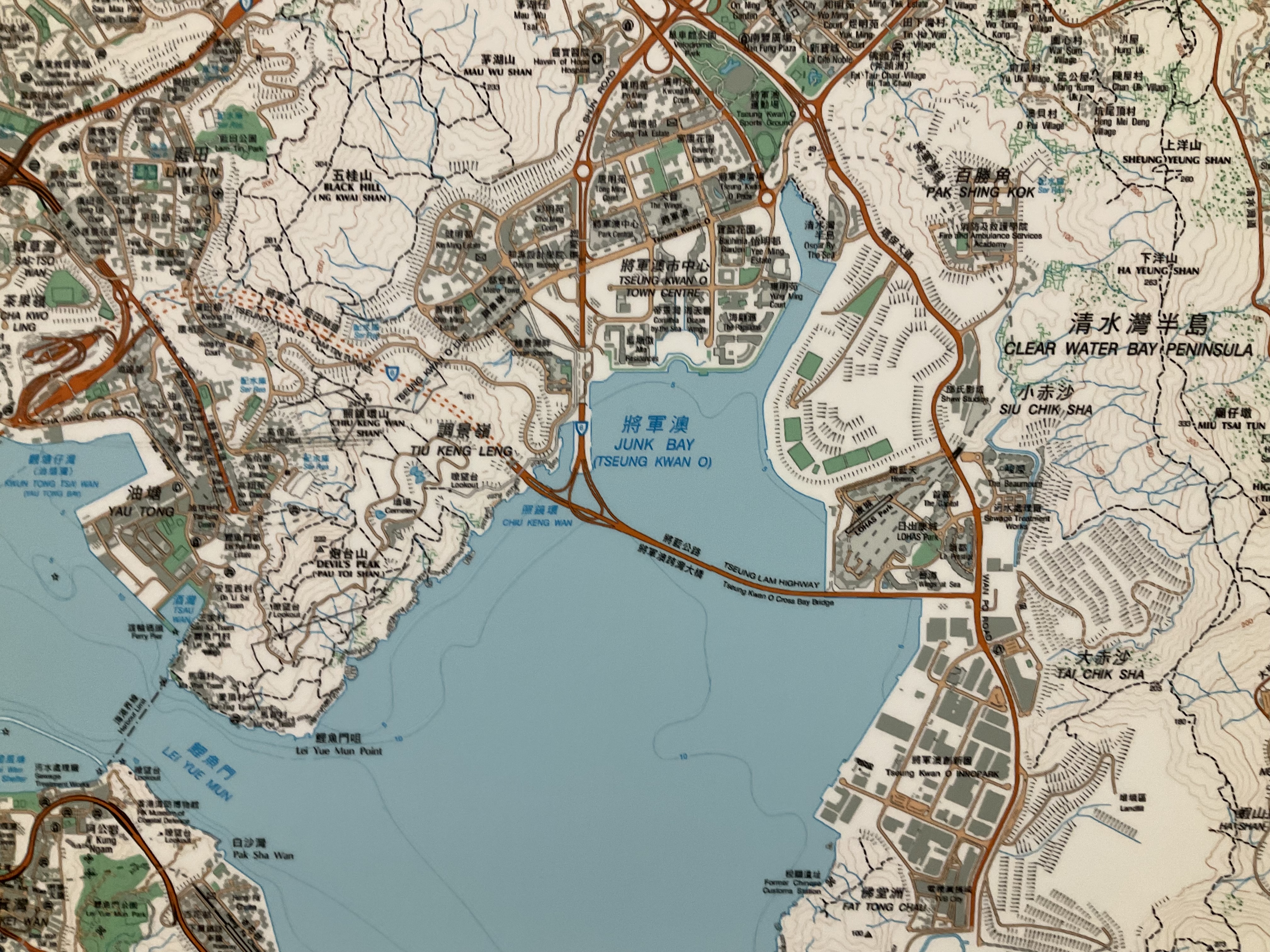
The big map is almost 3m x 3m, mounted on a big wall on the G/F. We have had the HK map there for many years, and we recently updated it to the latest version. Not only is the color brighter and the print sharper on this newly printed map, this version has richer details of the city. And of course you can find many new landmarks, such as the Hong Kong-Zhuhai-Macau Bridge, the West Kowloon Cultural District, and the Tseung Kwan O Cross Bay Link.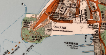
Come and experience the physical map offline! See if you find anything new. Happy exploration!
As a bonus for this post, I dug up an old photo of the spot around 2002. Time flies [sigh...]
Gabi Wong
Library Director
lbgabi@ust.hk