




Back to News
#GIS
Research Bridge
Research Bridge
6
9
11
13
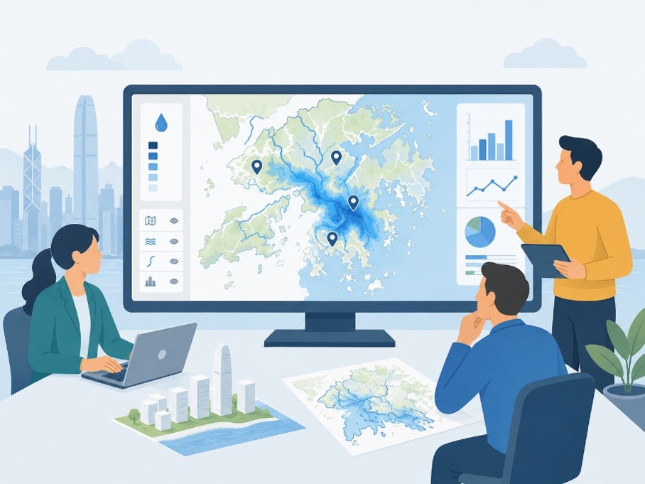
This June, as storms battered Hong Kong, Gary Lee, Research Support Librarian at HKUST who commutes daily across the New Territories from Yuen Long, started mapping. Read this post to learn how Gary used AI tools and public data to build an interactive 3D visualization of rainfall patterns and flood blackspots.
AI in Research & Learning
Digital Humanities
Research Bridge
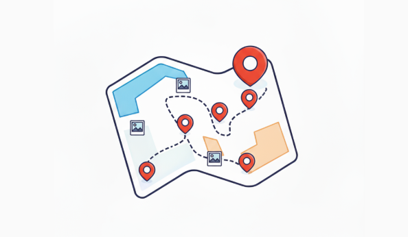
Instantly map photos with ArcGIS to uncover spatial patterns in your research.
Digital Humanities
Research Tools
