The Library’s prestigious collection, Antique Maps of China, consists of more than 300 maps, charts, pictures, and atlases. It is the largest collection focused on European printed maps of China in East Asia. It includes the most significant maps of China produced by European cartographers from the 16th to 19th centuries, vividly recording the long history of cross-cultural exchanges between China and the West. In 2021, it expanded by the acquisition of rare Ming and Qing maps.
Thanks to the generous contribution of Dr. Ko Pui Shuen the collection has been digitized and enlarged. In 2016, Dr. Ko’s donation sponsored a rigorous research project, which delivered the first carto-bibliography of China, a scholarly book about Early Western maps of China printed in Europe, featuring both maps in the Library Special Collections as well rare and unique maps from the major Asian, European and American map collections.
Antique maps not only represent the applied science of their day but also a way to visualize the world through the eyes of people of the past, a unique combination of technology and art. Our unique collection and the related website beautifully illustrates two core elements of HKUST: its recognition and championing of the links between science and humanities as well as cross-cultural connections bridging east and west, linking Hong Kong, China and the world.
Project Outcomes
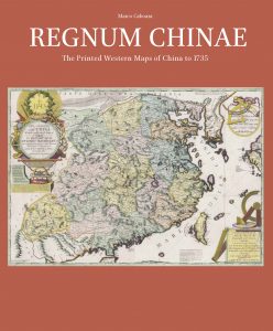
The First Carto-bibliography of China
The bulk of the book is written by Dr. Marco Caboara at HKUST Library. The most authoritative scholars of Chinese cartography, both Western and Chinese, contributed to the introduction; making this the first systematic coverage of this field in any language.
- It reproduces and describes, for the first time, all the maps of China printed in Europe between 1584 and 1735, unravelling the origin of each individual map, their different printing, issues and publication dates.
- It also tells, for each, the unique story that made possible these visions from another world, stories marked by scholarly breakthroughs, obsession, missionary zeal, commercial sagacity and greed.
- The most authoritative scholars of Chinese cartography, both Western and Chinese, have contributed chapters to the introduction, the first systematic coverage of this field in any language.
- It is accompanied by a website addressed to researchers, collectors, scholars and anyone with curiosity for maps, history and geography, giving access to all the 127 maps described in the book, and it allows access to high-definition images of all the maps.
The Accompanying Website
The accompanying website is available at https://mappasinica.hkust.edu.hk.
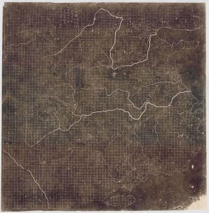
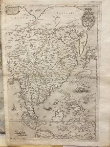
Expanded Collection
Highlights of precious maps acquired with the support of the project fund:


Go Back to page Top
last modified 11 November 2022