


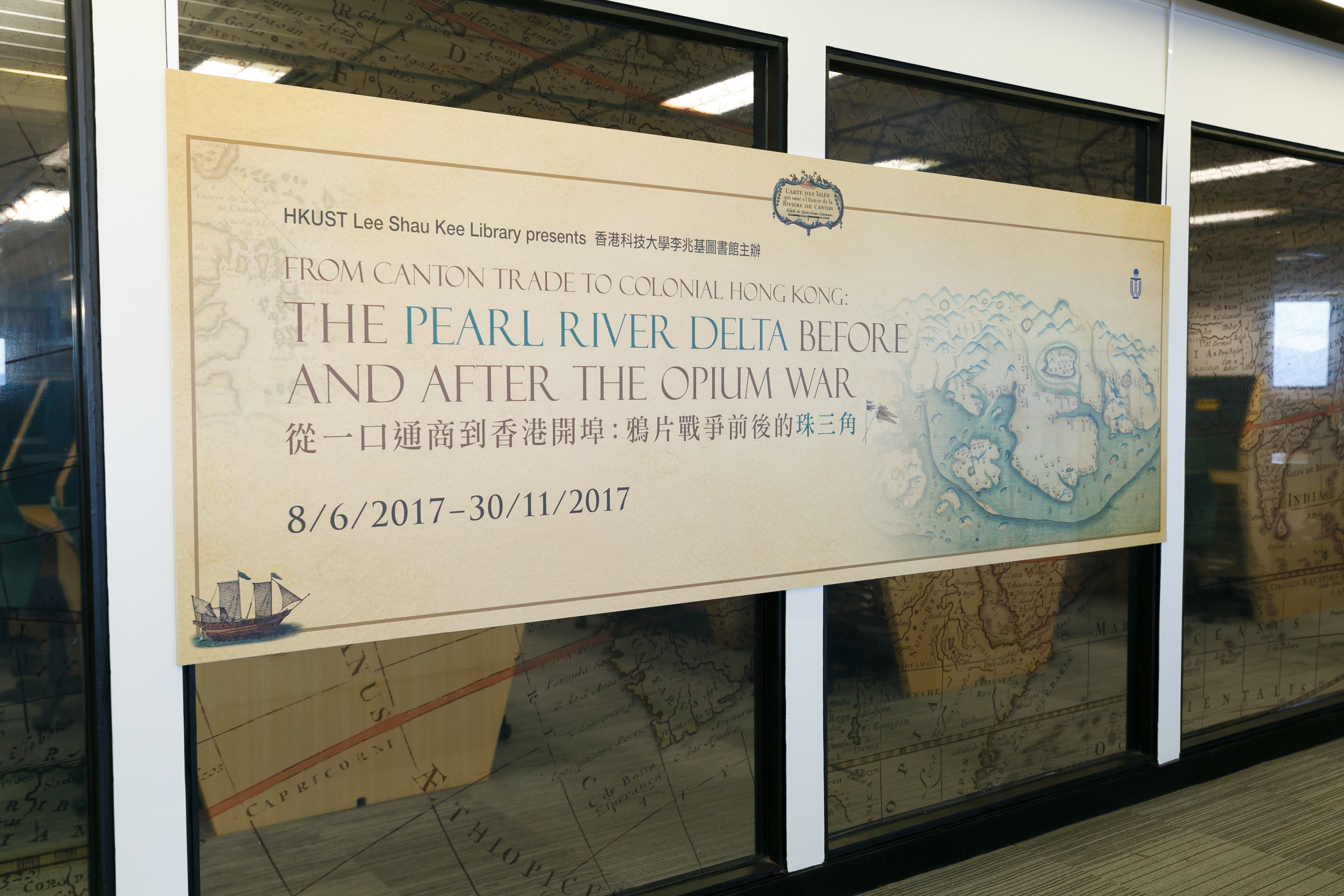
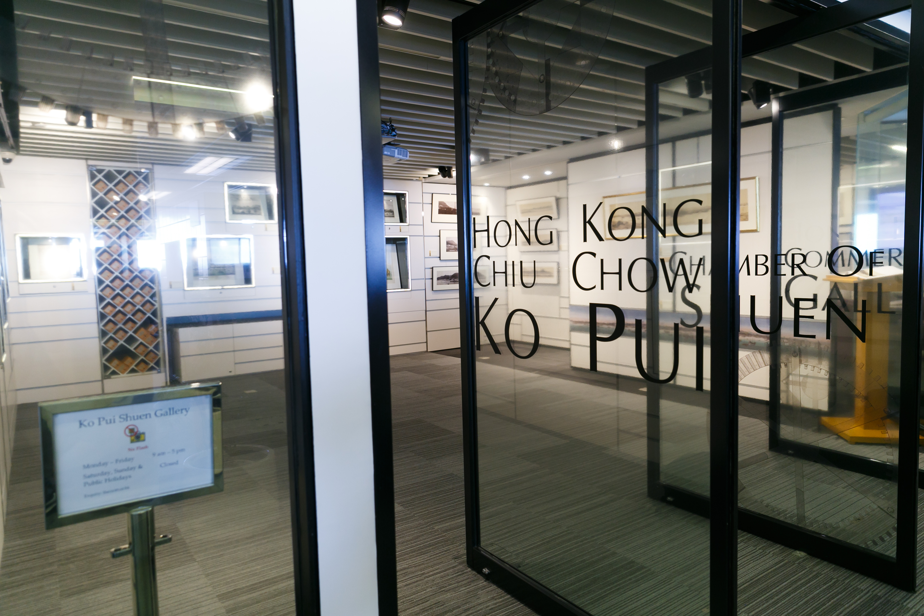
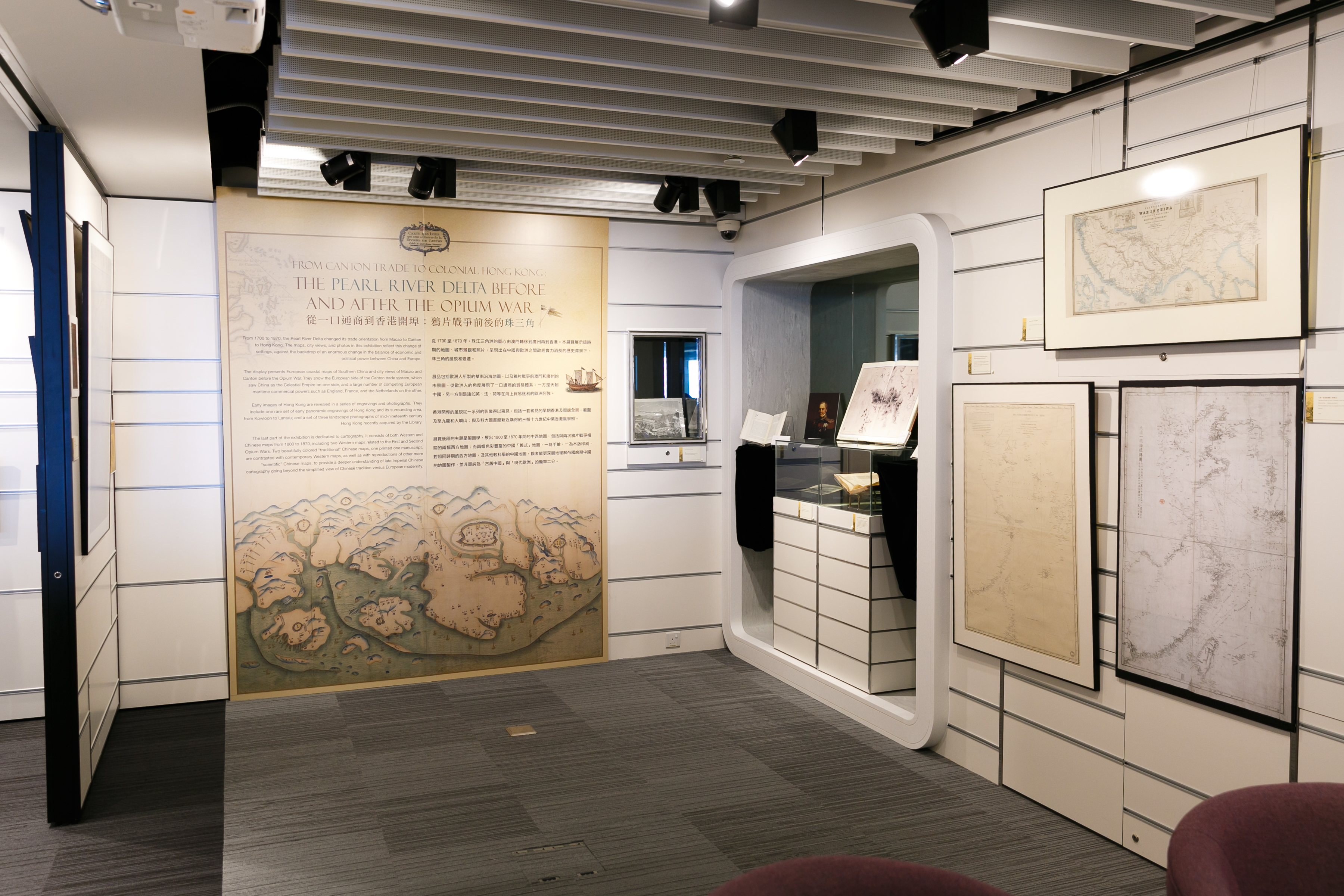
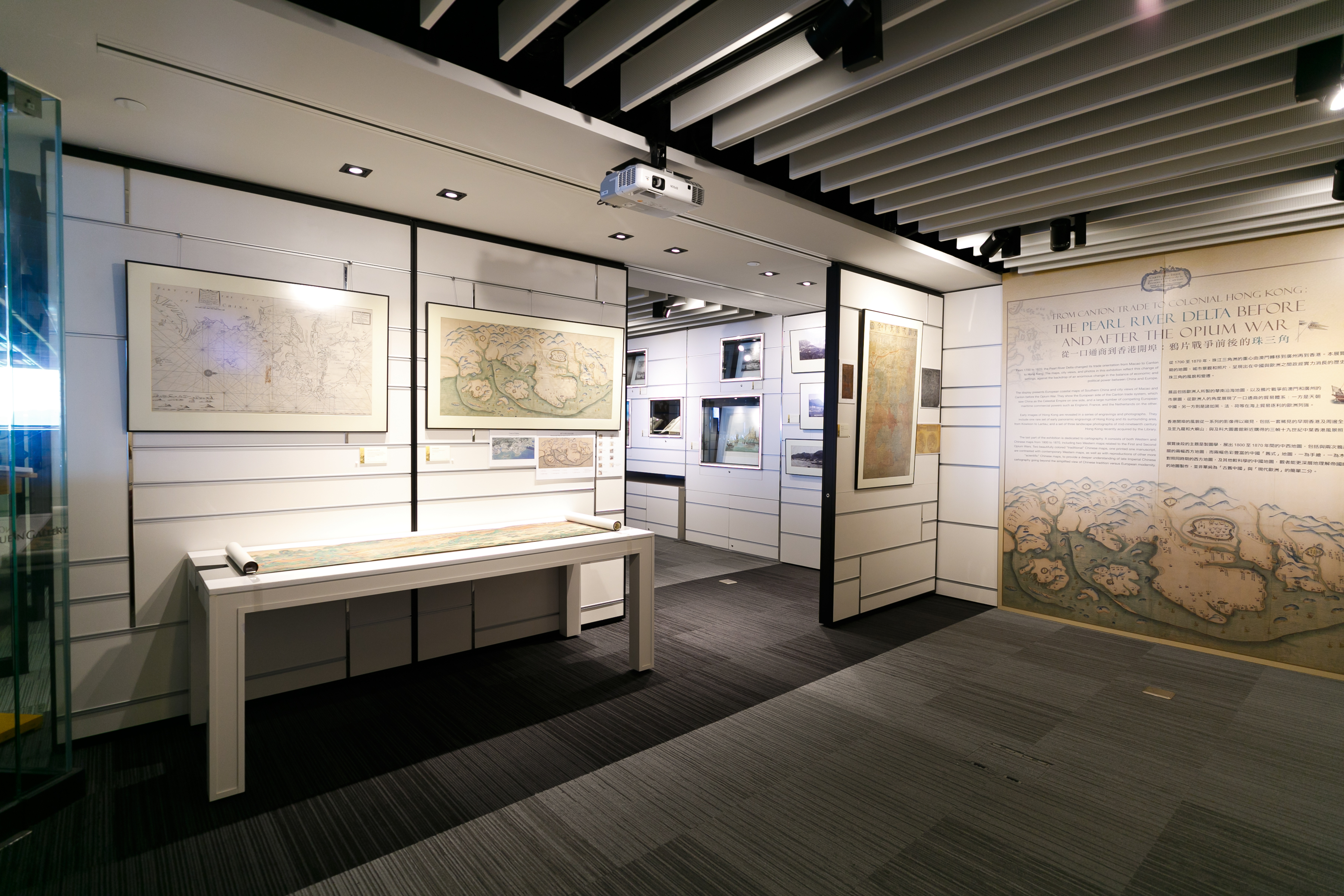
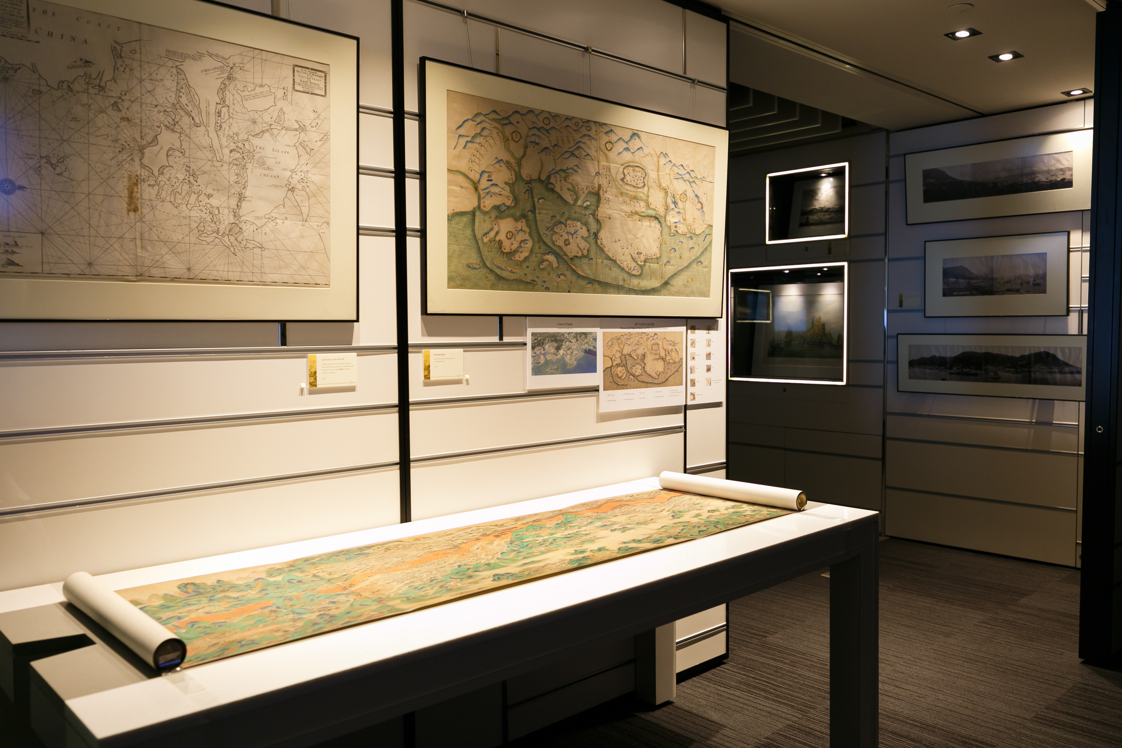
從一口通商到香港開埠:鴉片戰爭前後的珠三角
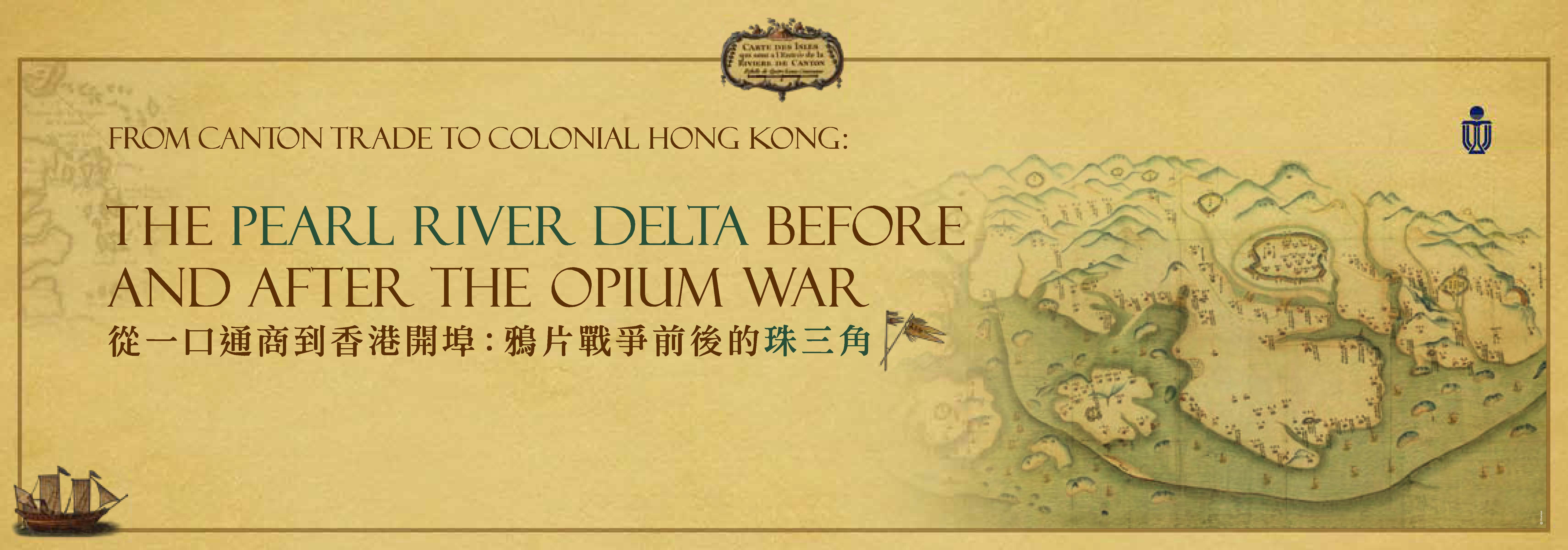
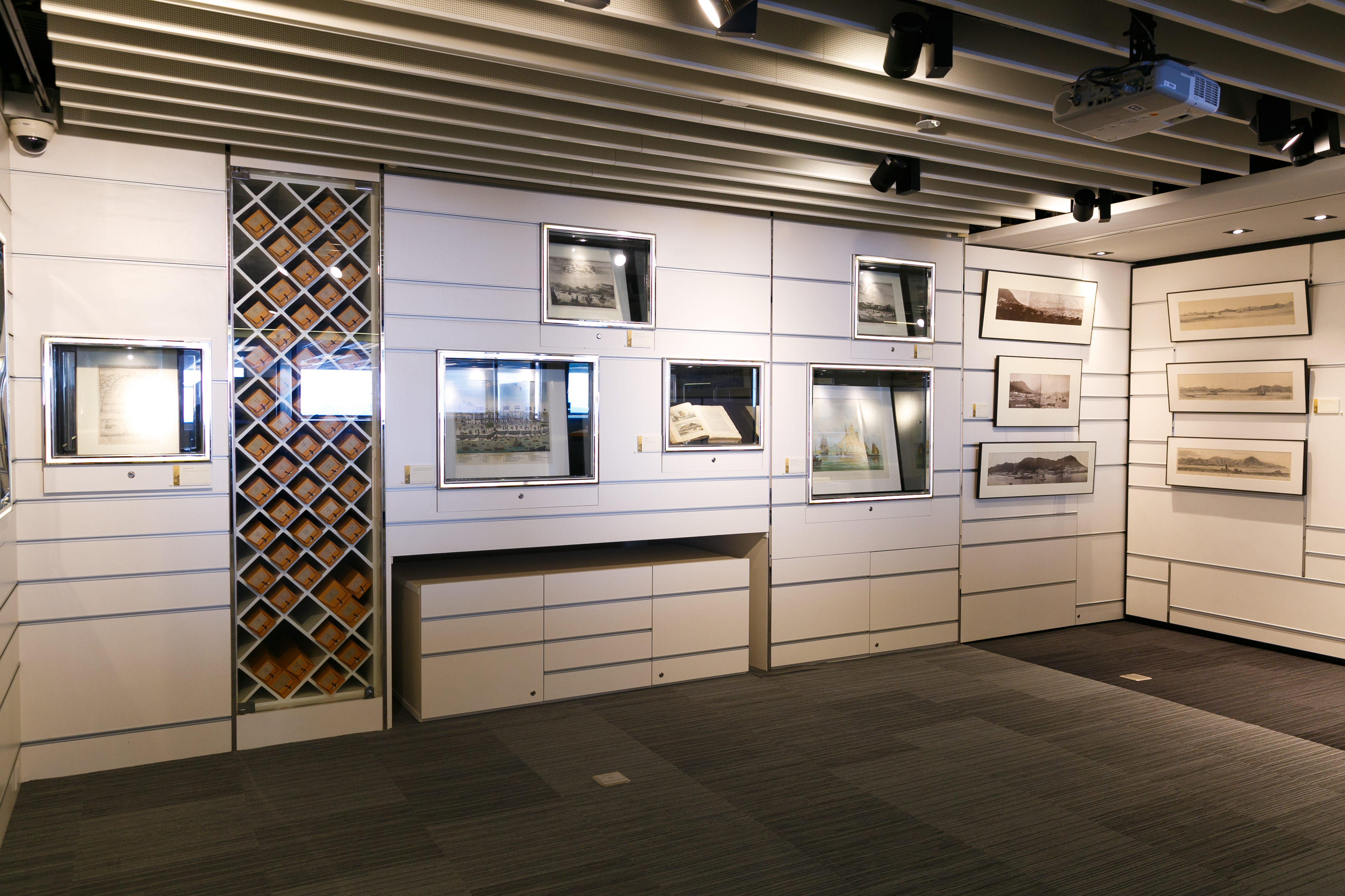
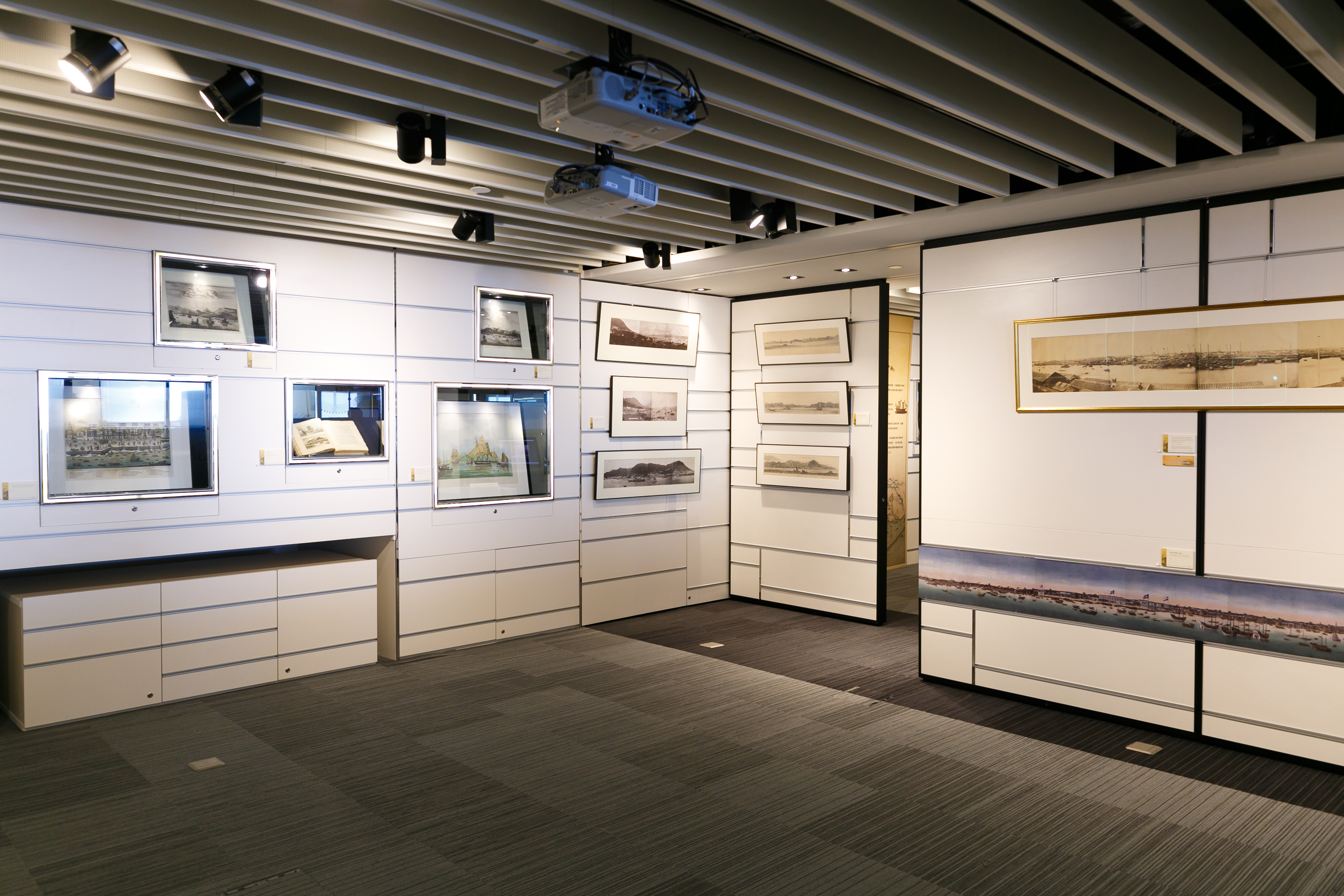
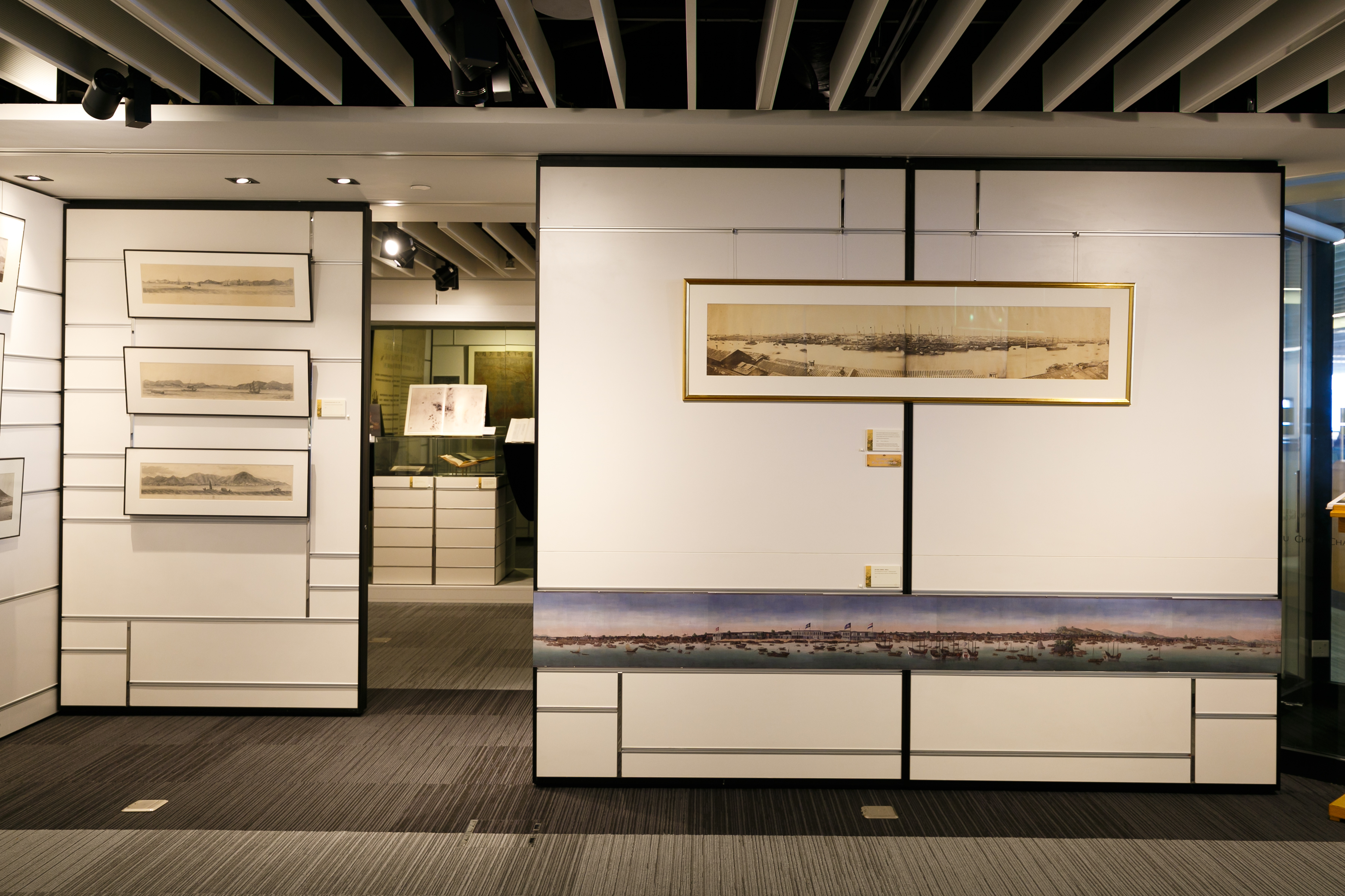
從1700至1870年,珠江三角洲的重心由澳門轉移到廣州再到香港。本展覽展示這時期的地圖、城市景觀和照片,呈現出在中國與歐洲之間政經實力消長的歷史背景下,珠三角的風貌和變遷。
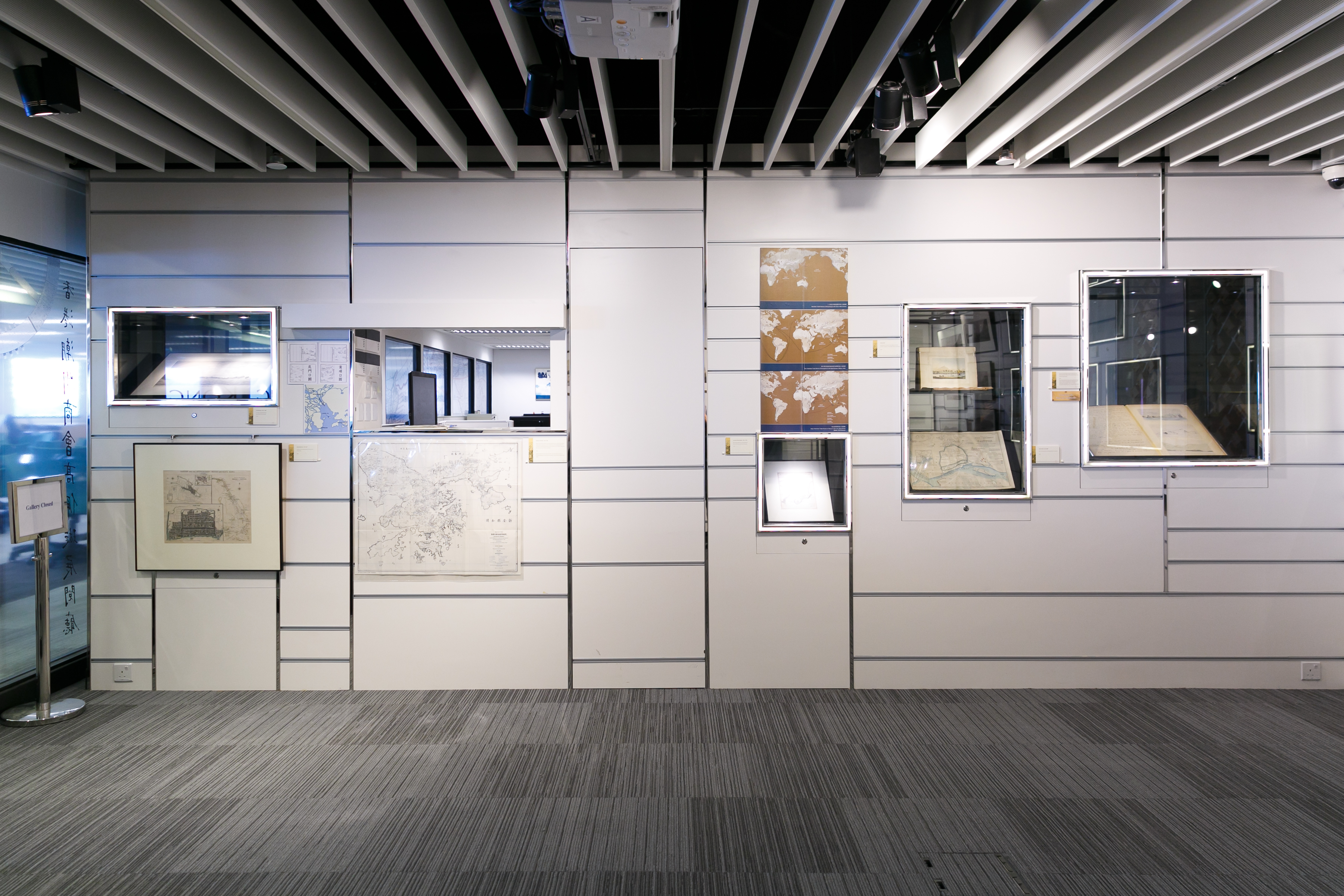
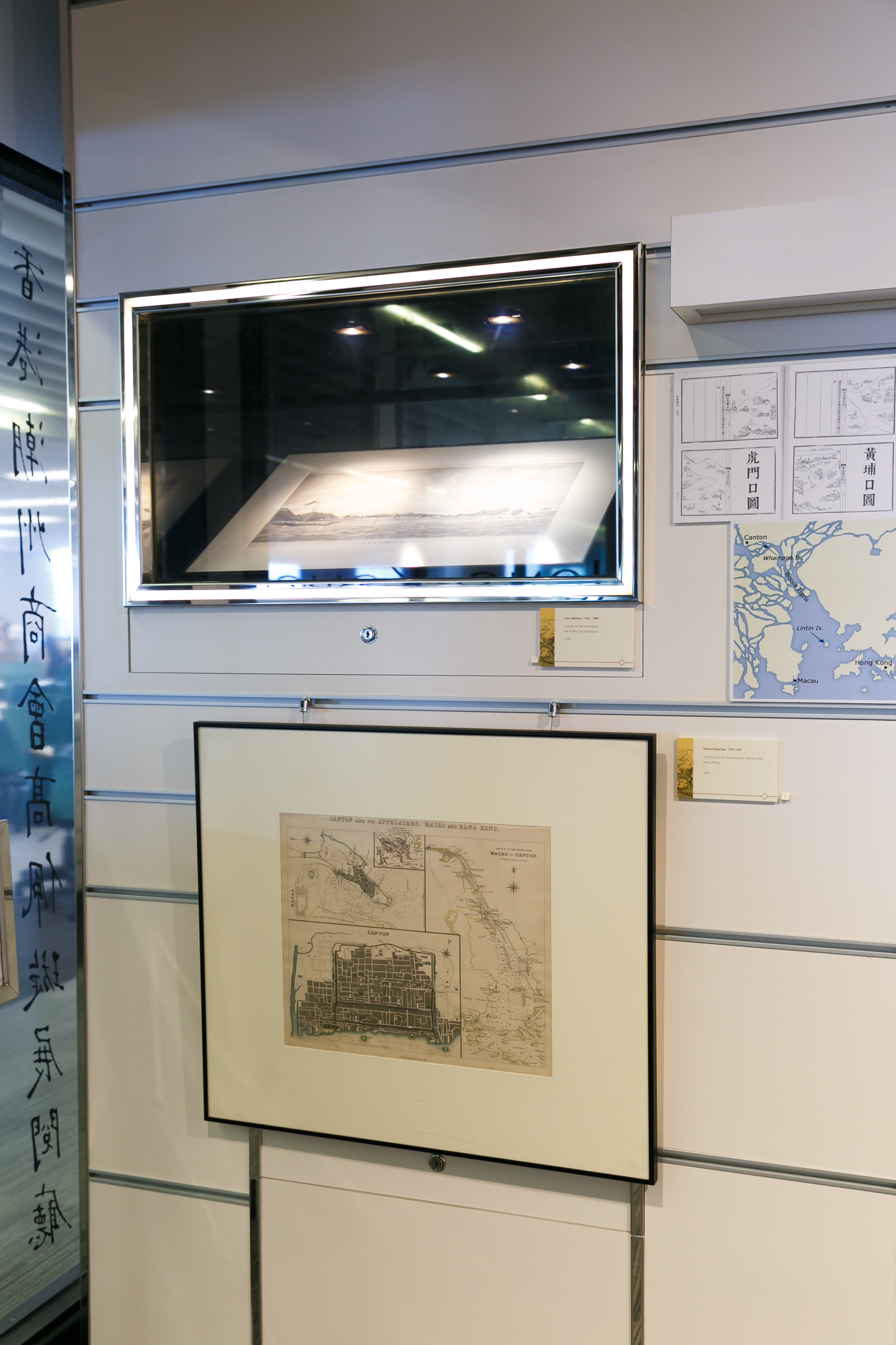
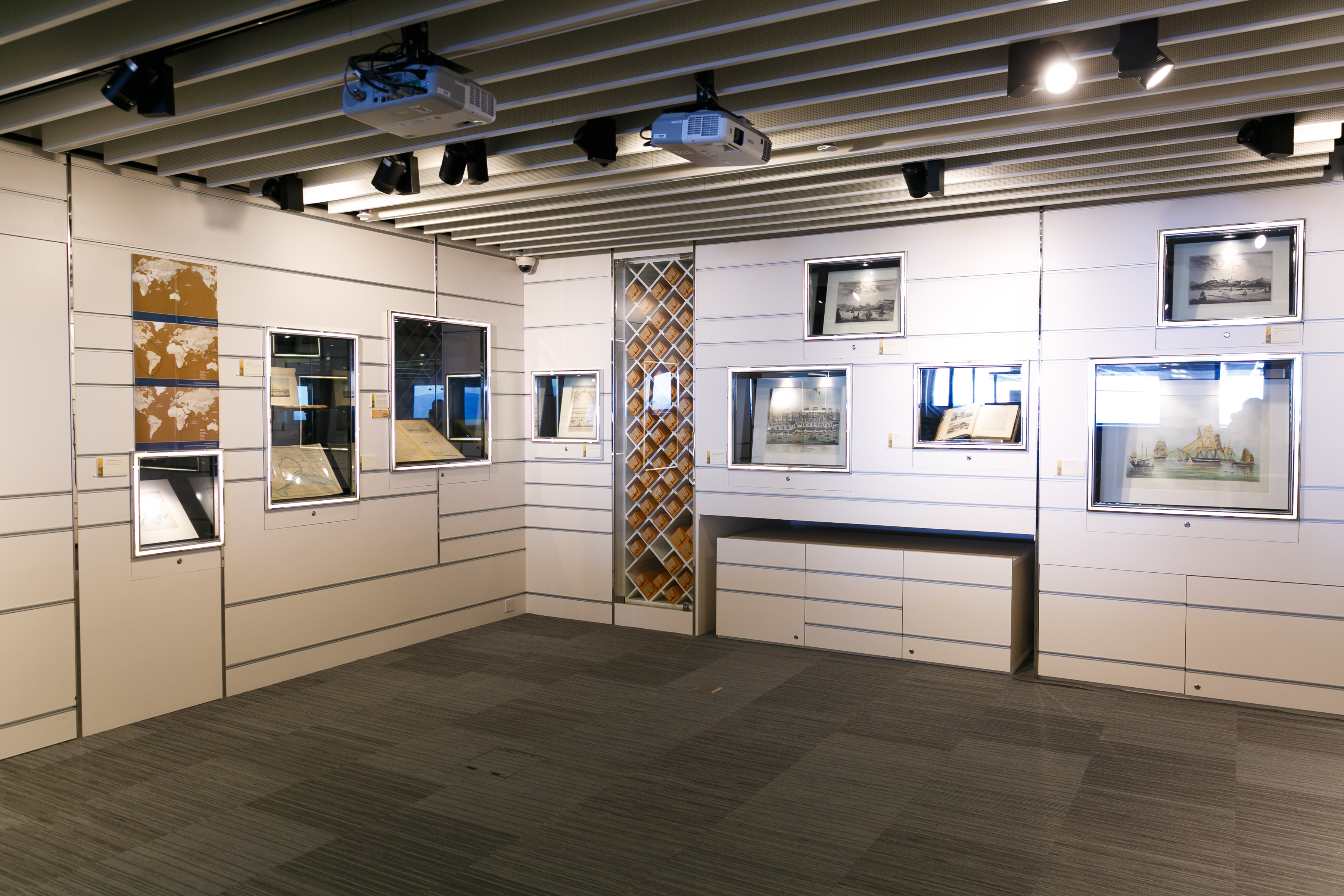
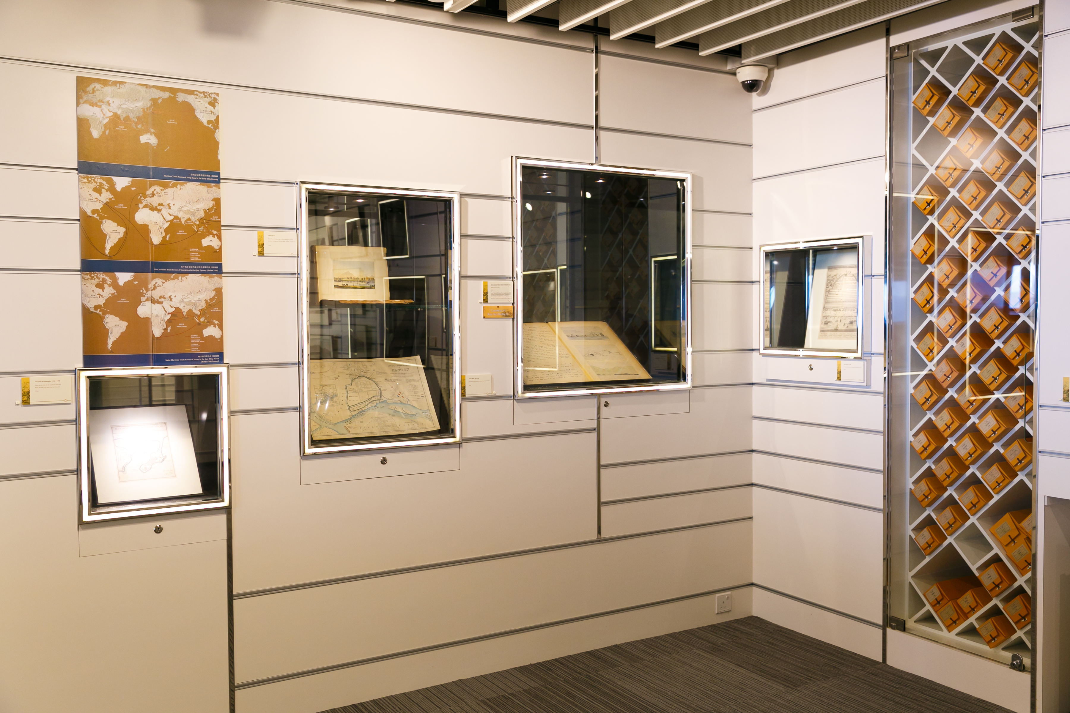
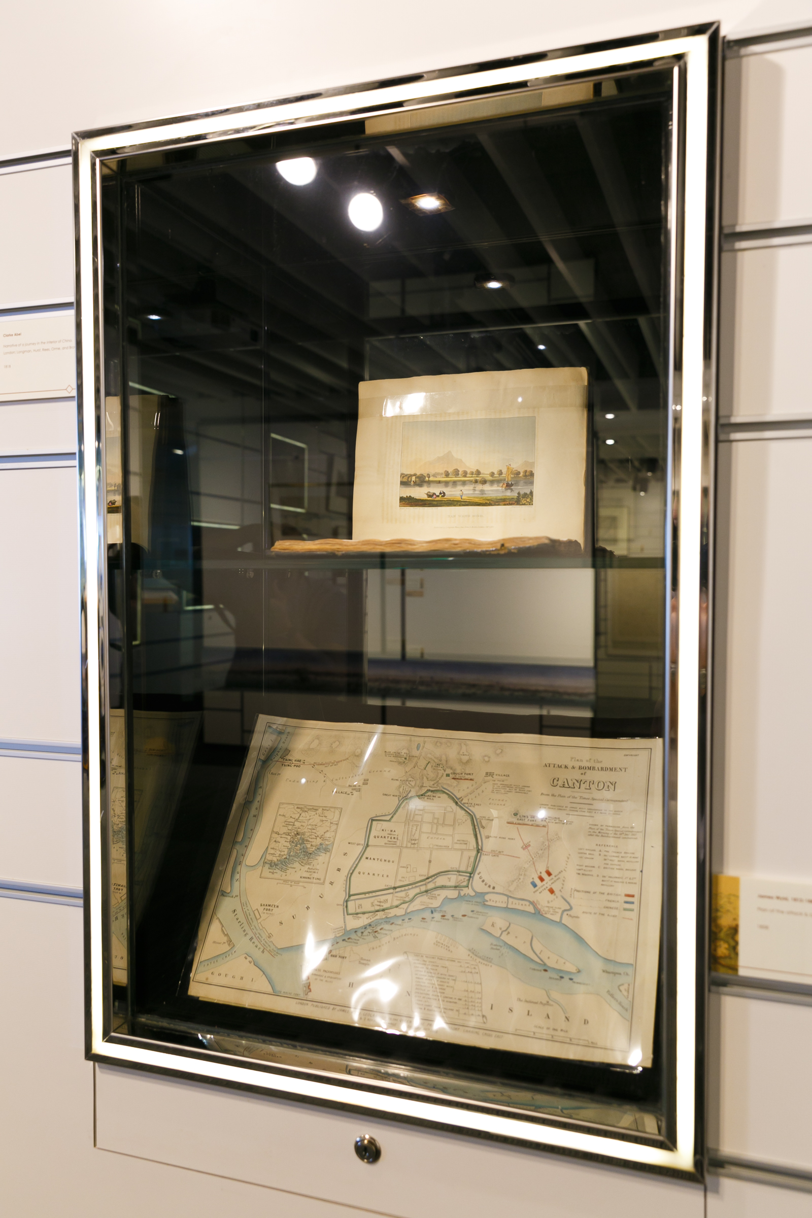
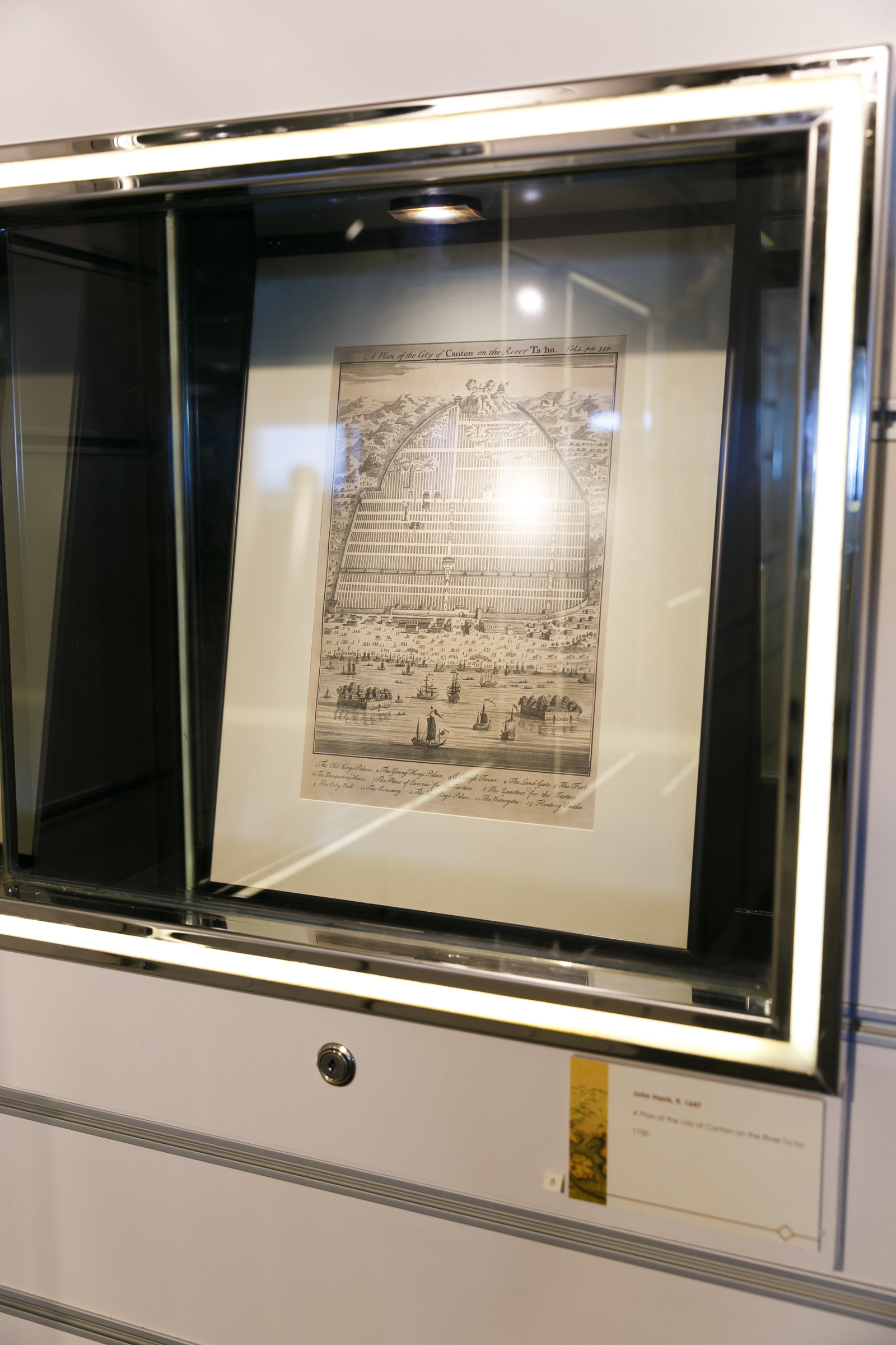
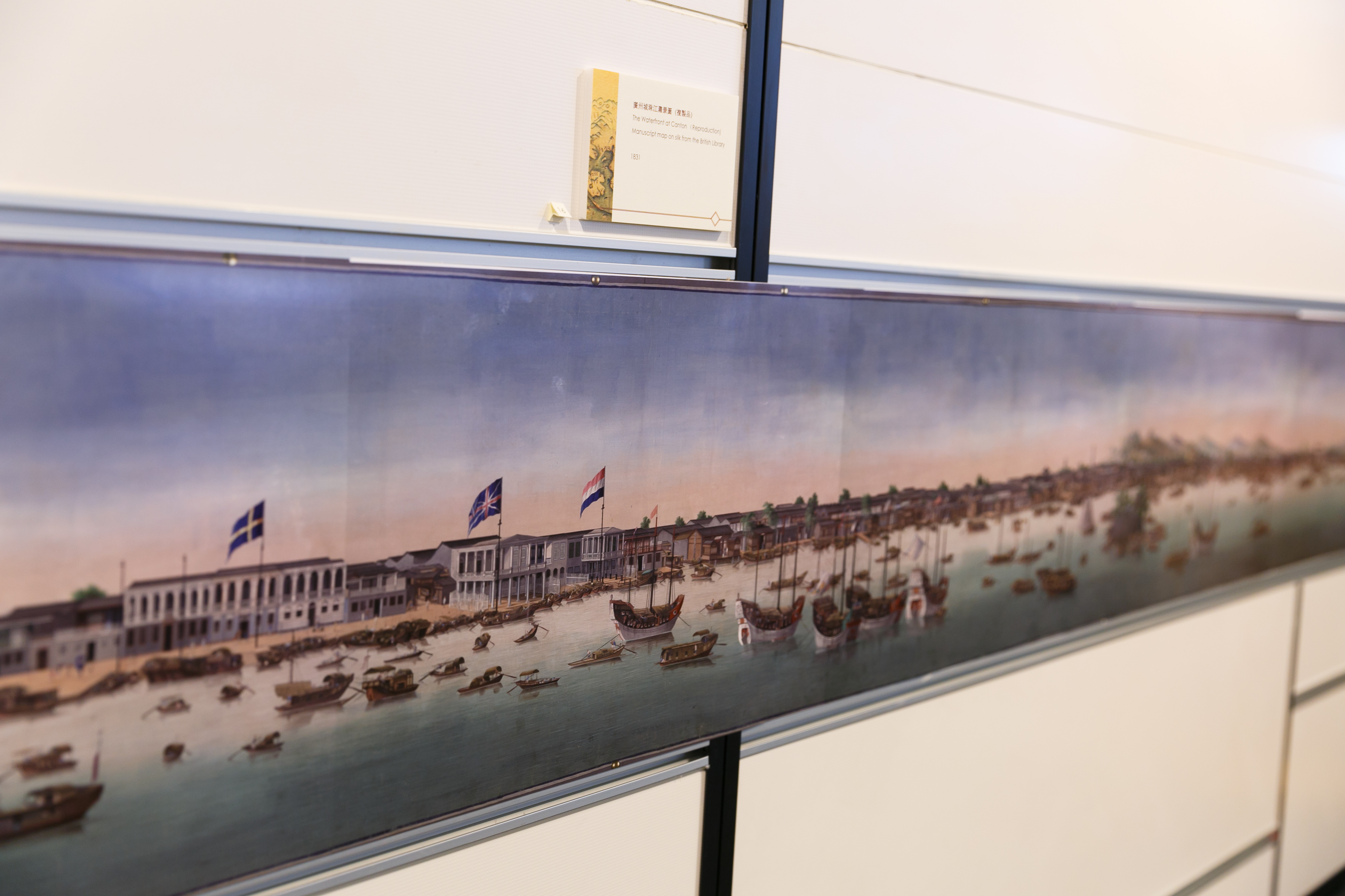
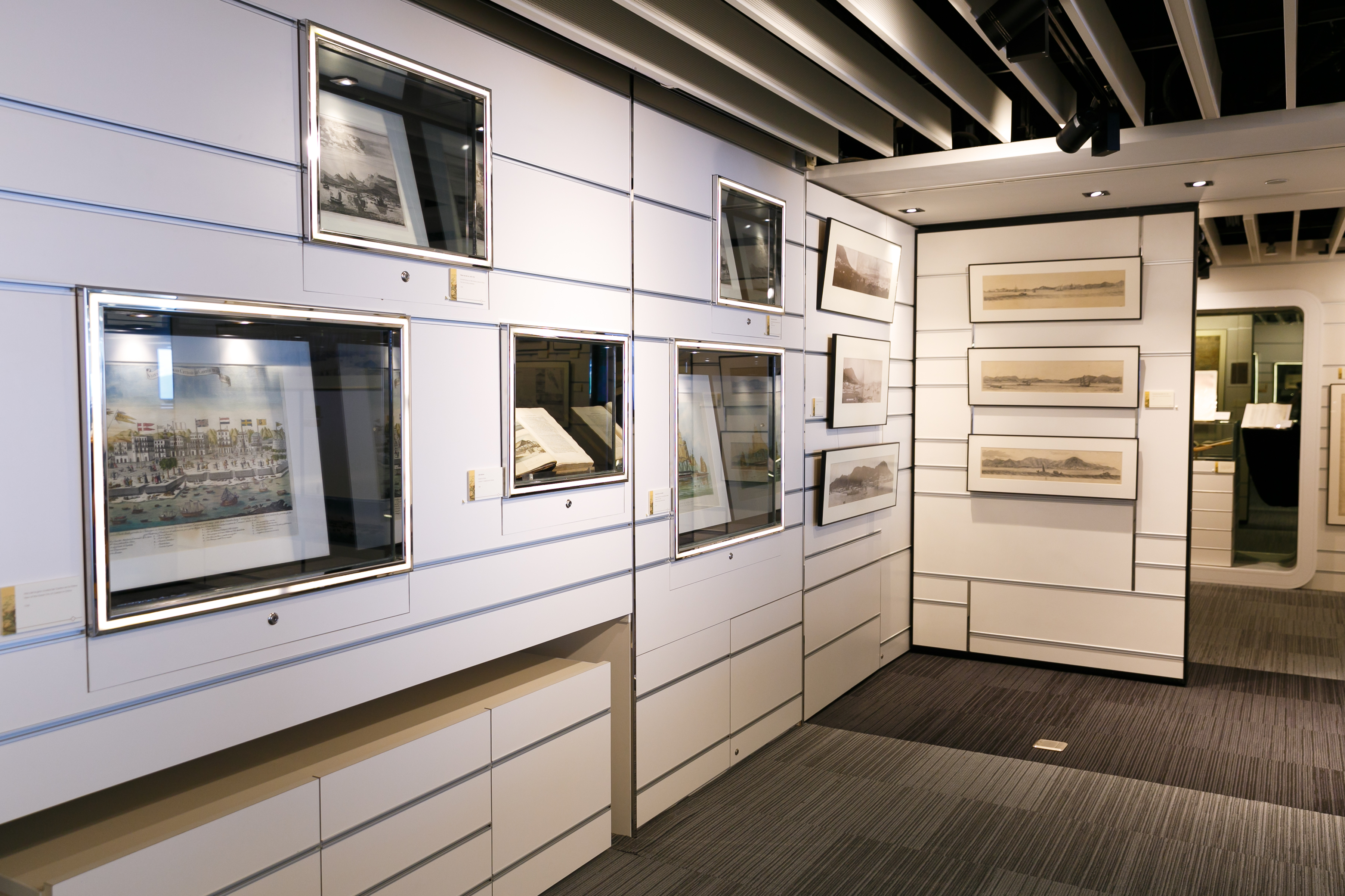
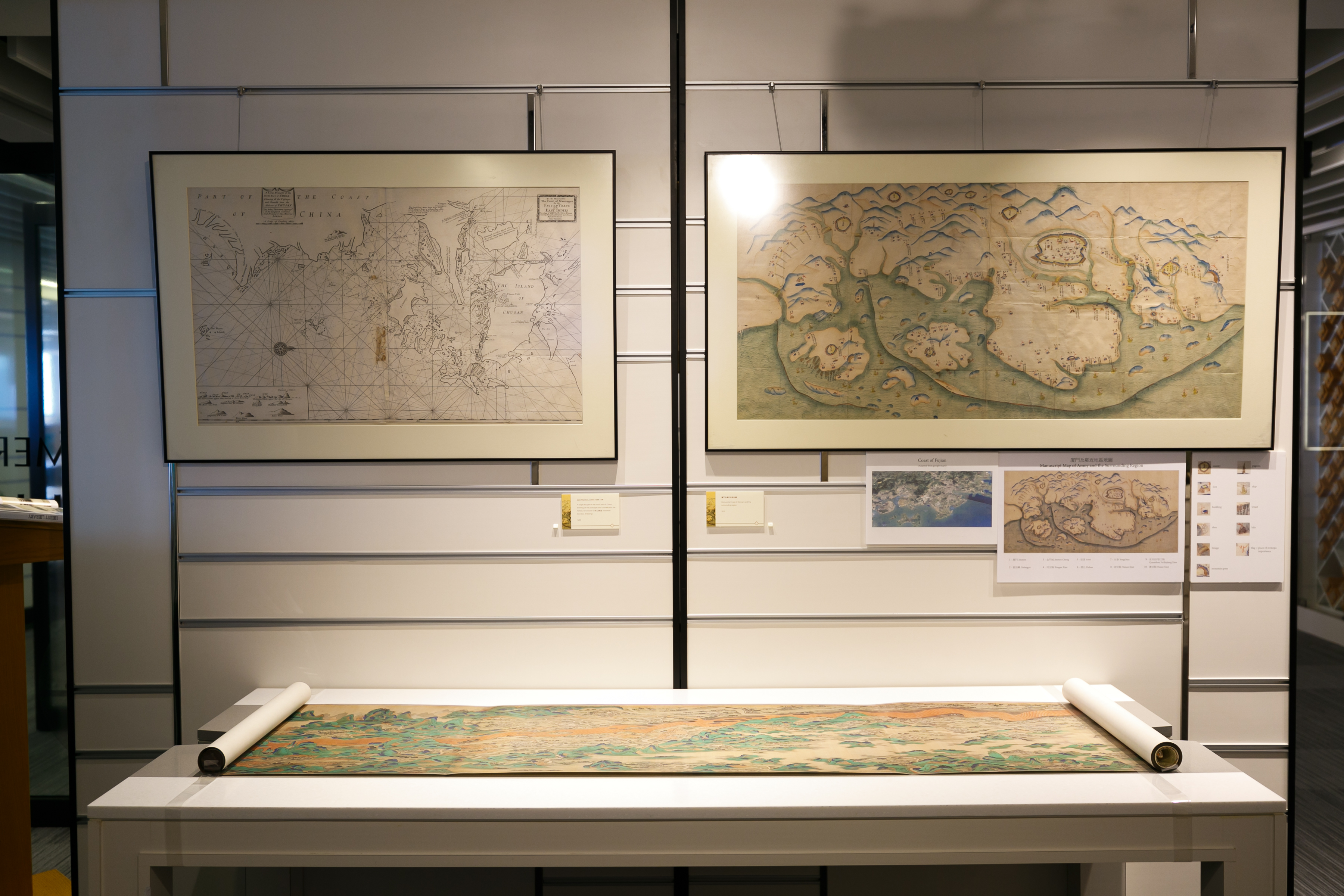
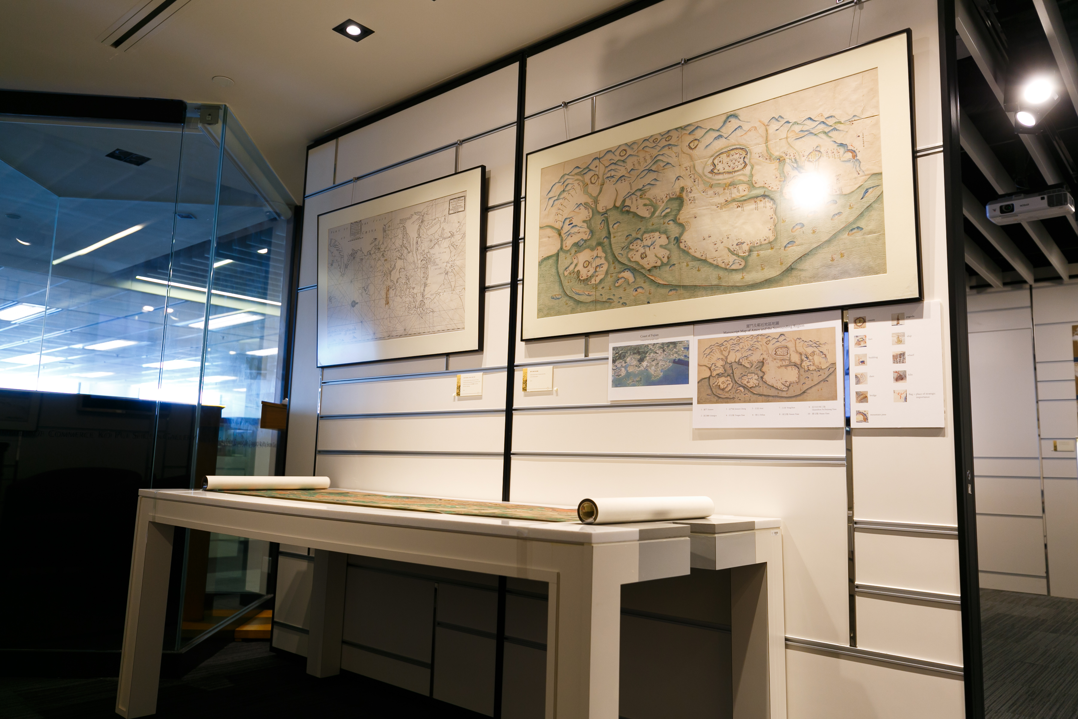
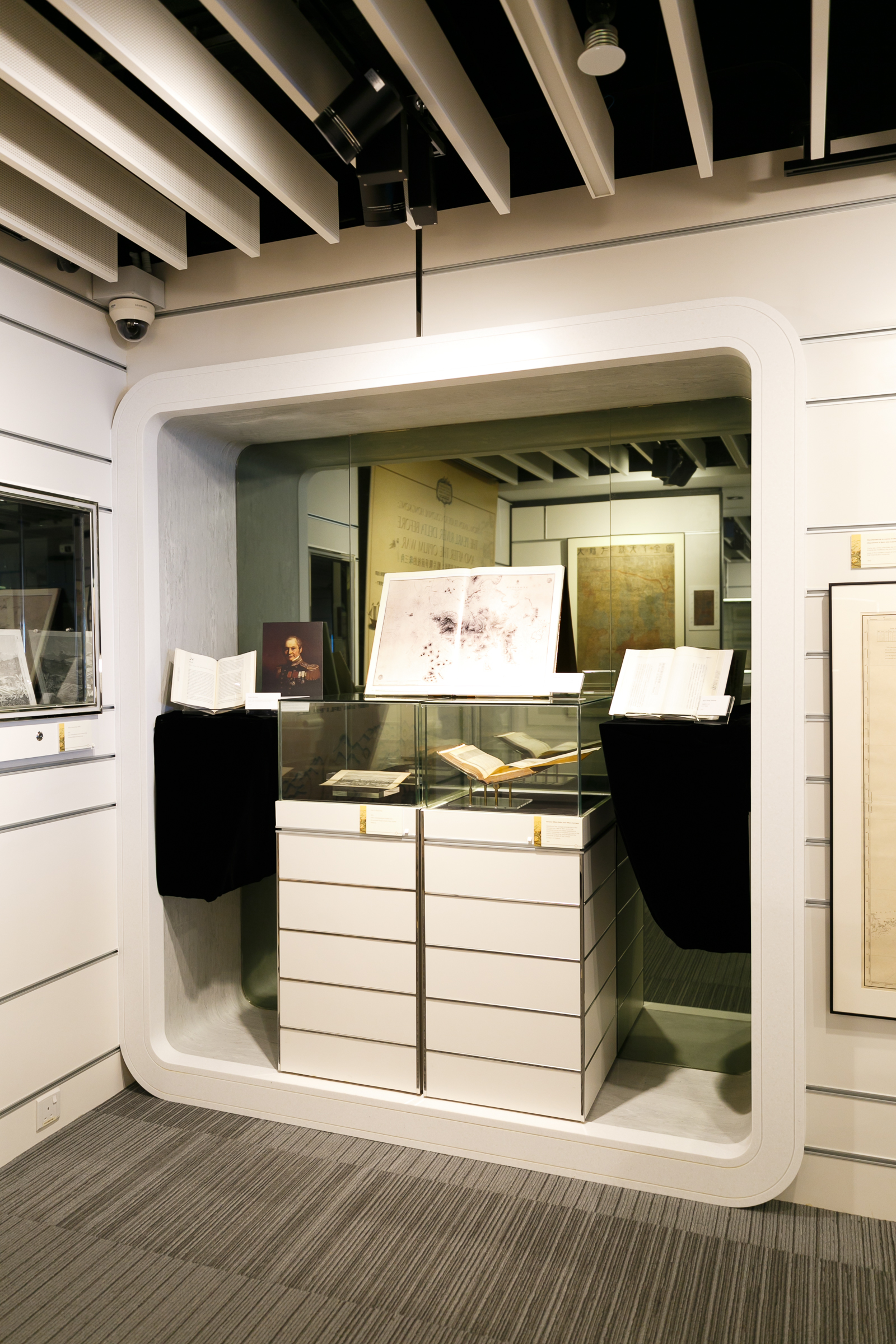
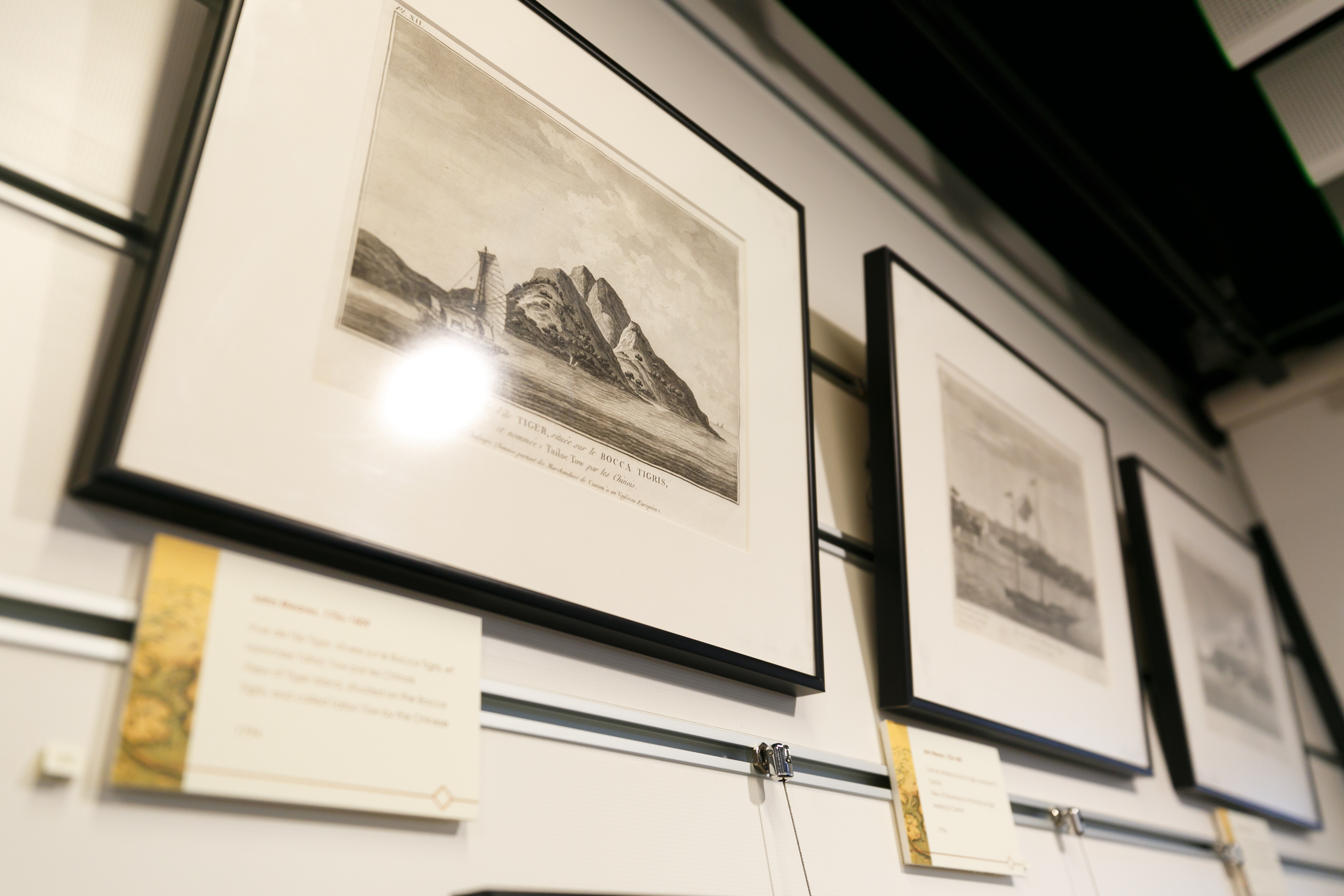
展品包括歐洲人所製的華南沿海地圖,以及鴉片戰爭前澳門和廣州的市景圖,從歐洲人的角度展現了一口通商的貿易體系:一方是天朝中國,另一方則是諸如英、法、荷等在海上貿易逐利的歐洲列強。
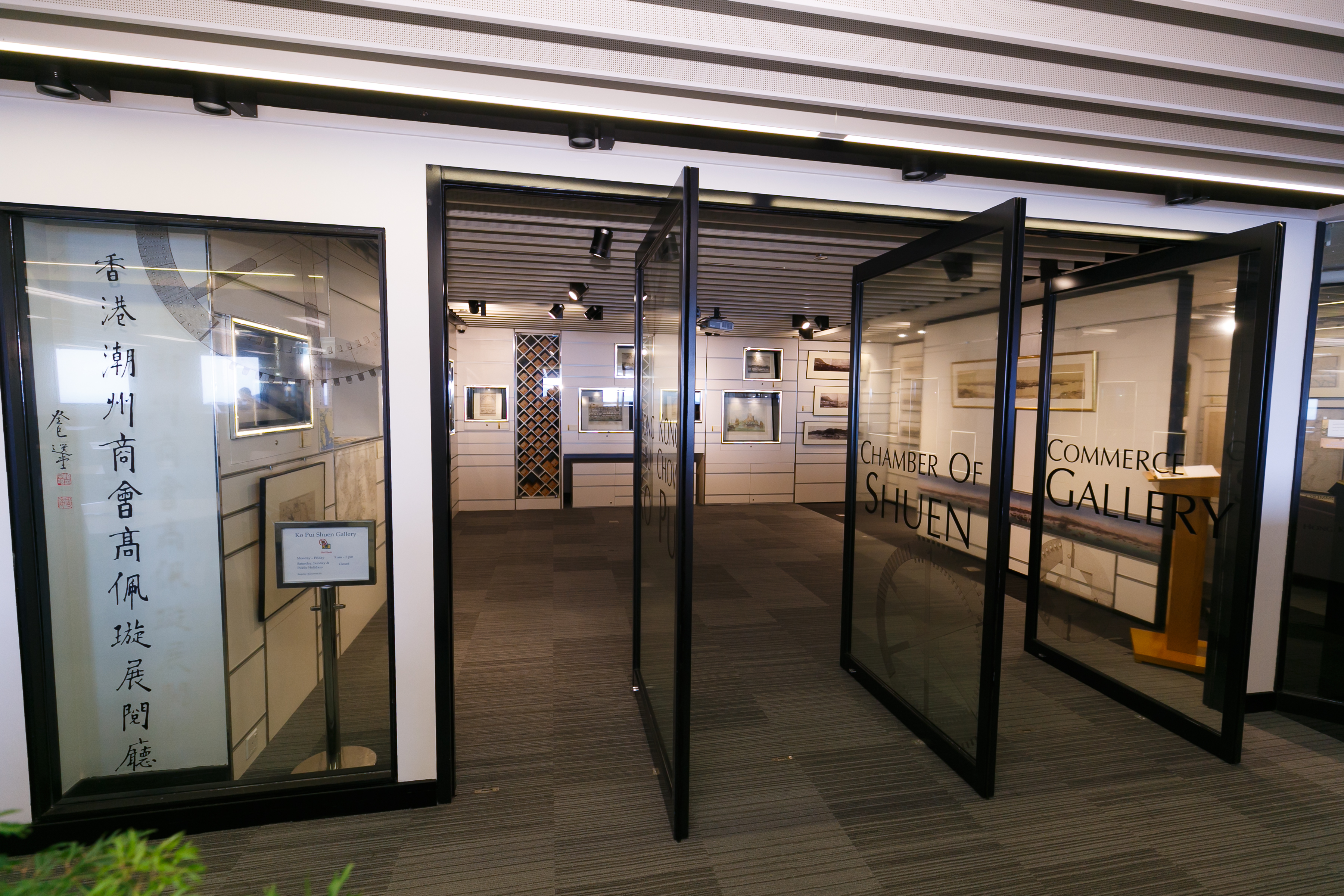
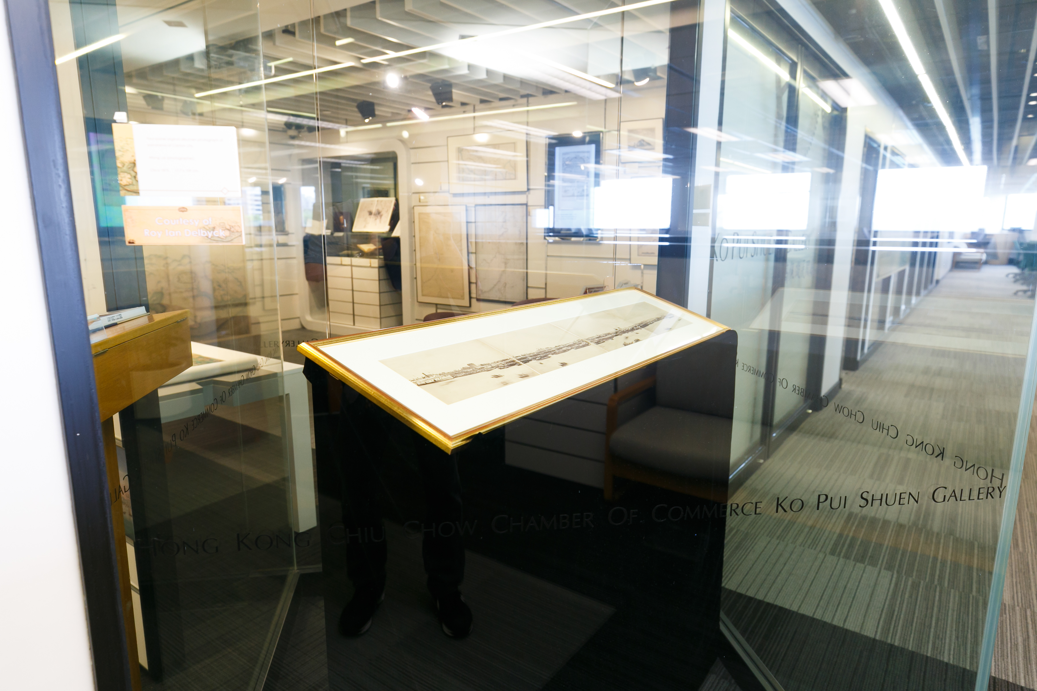
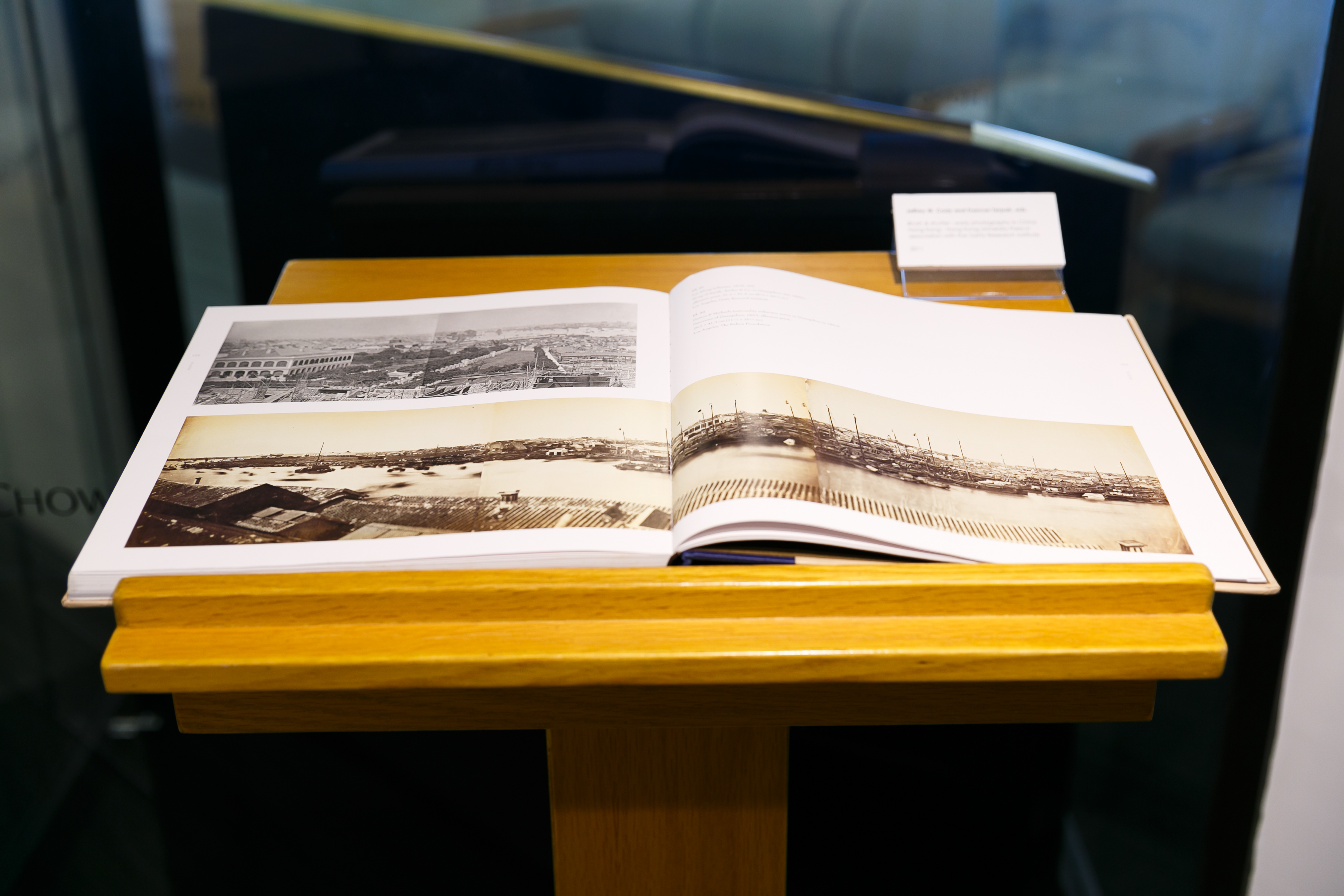
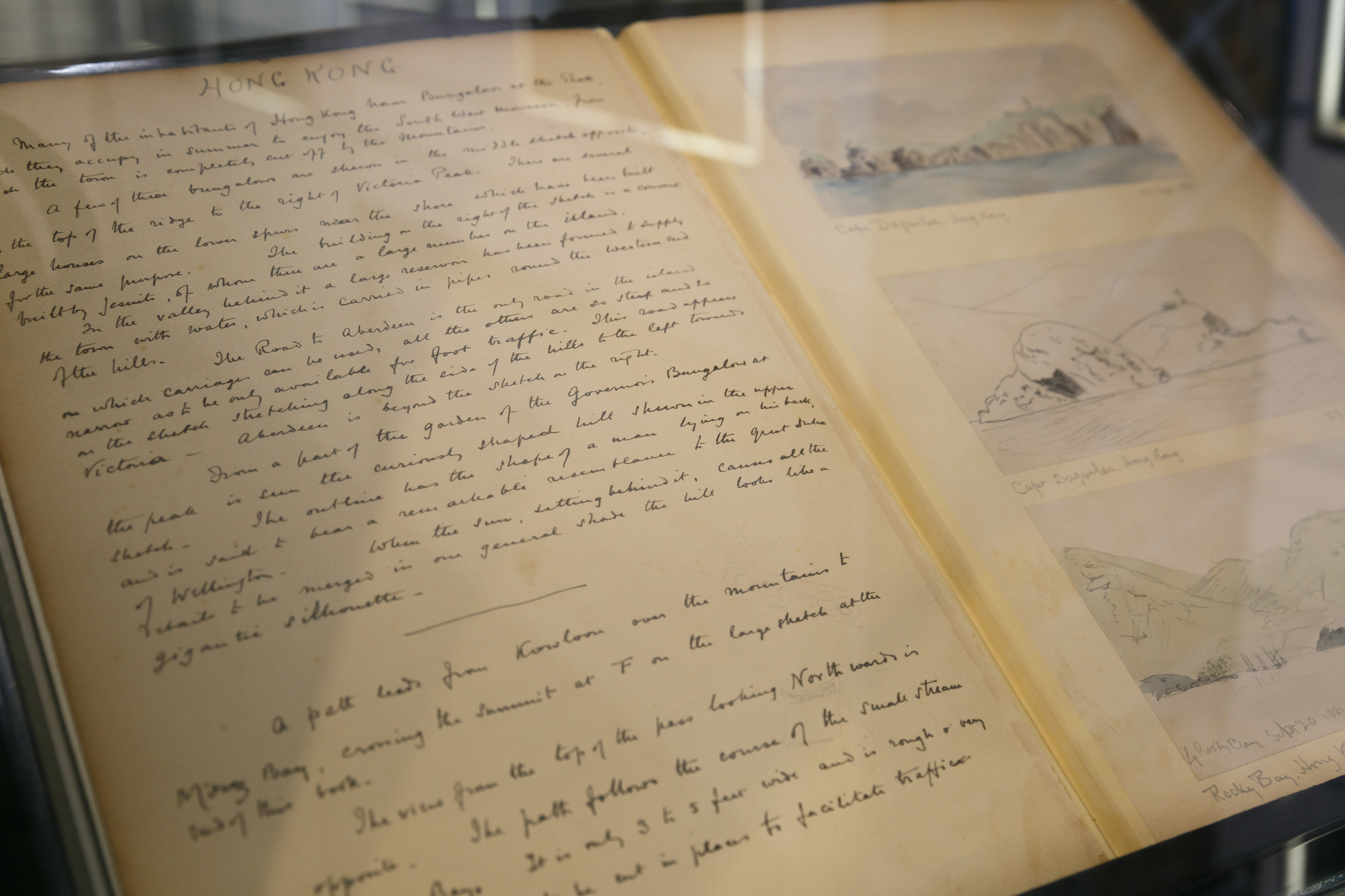
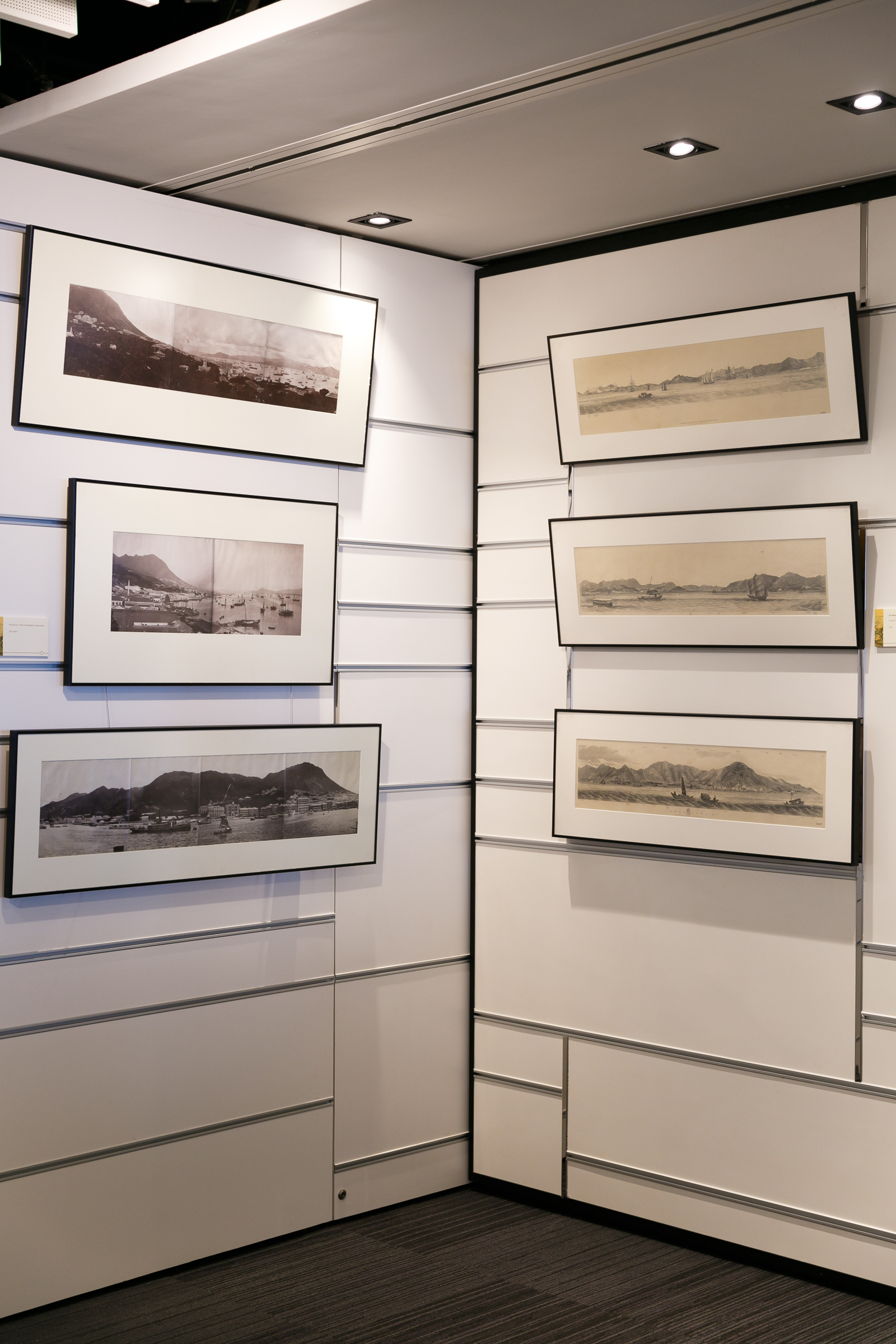
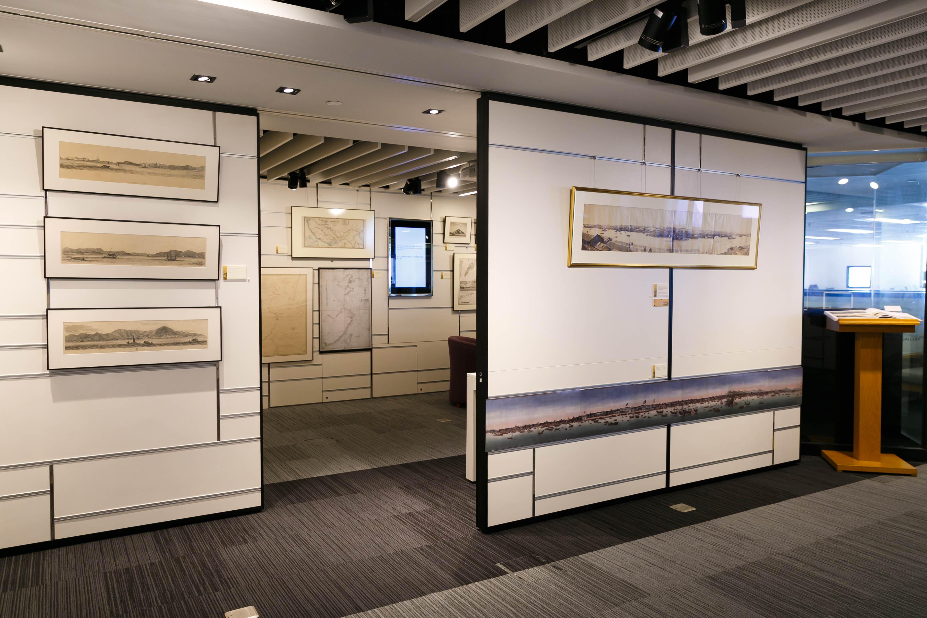
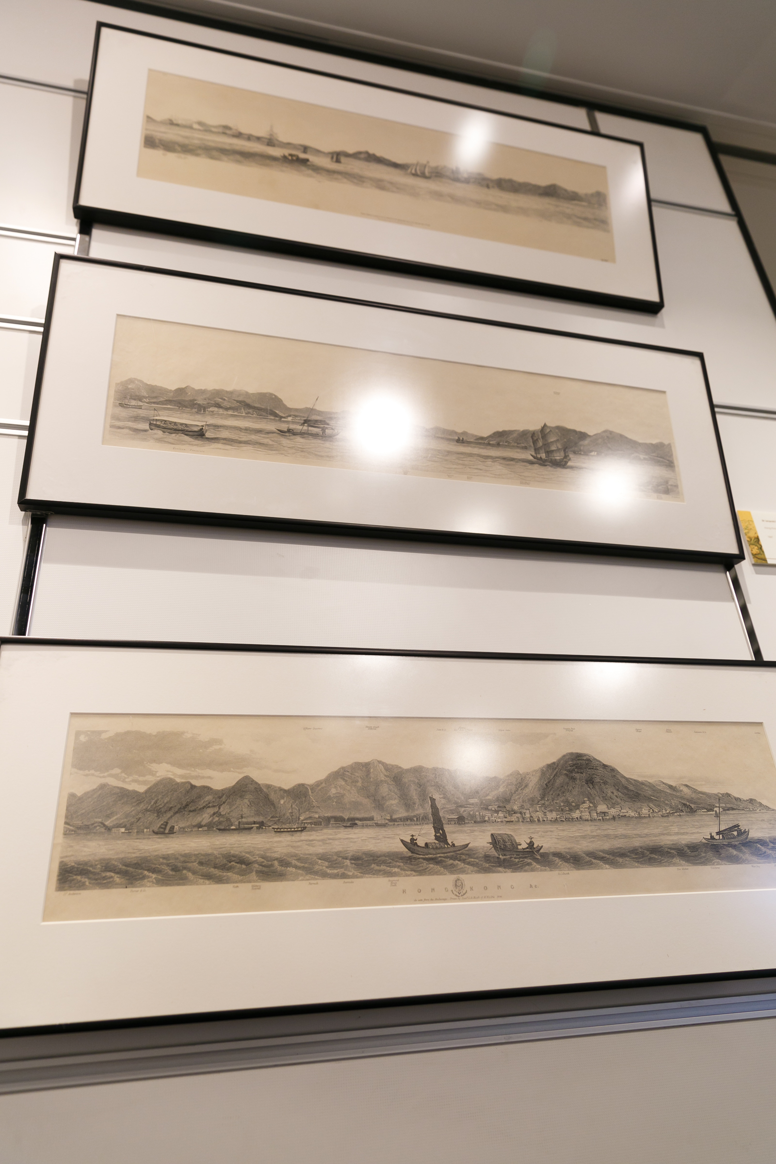
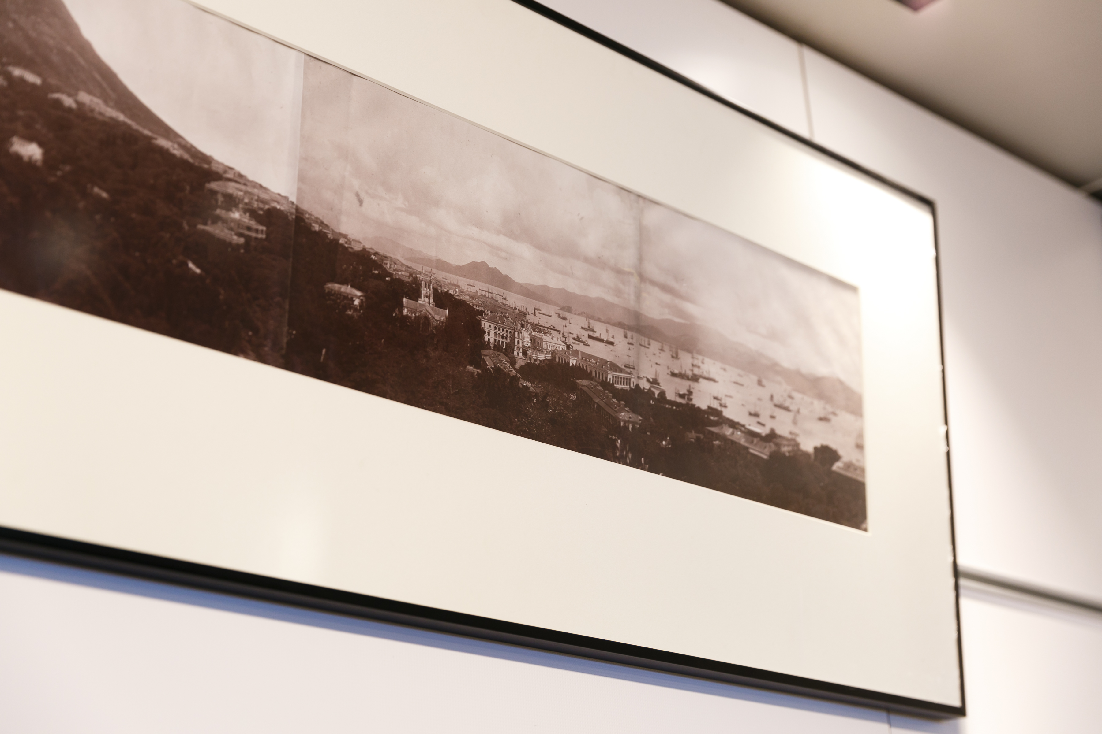
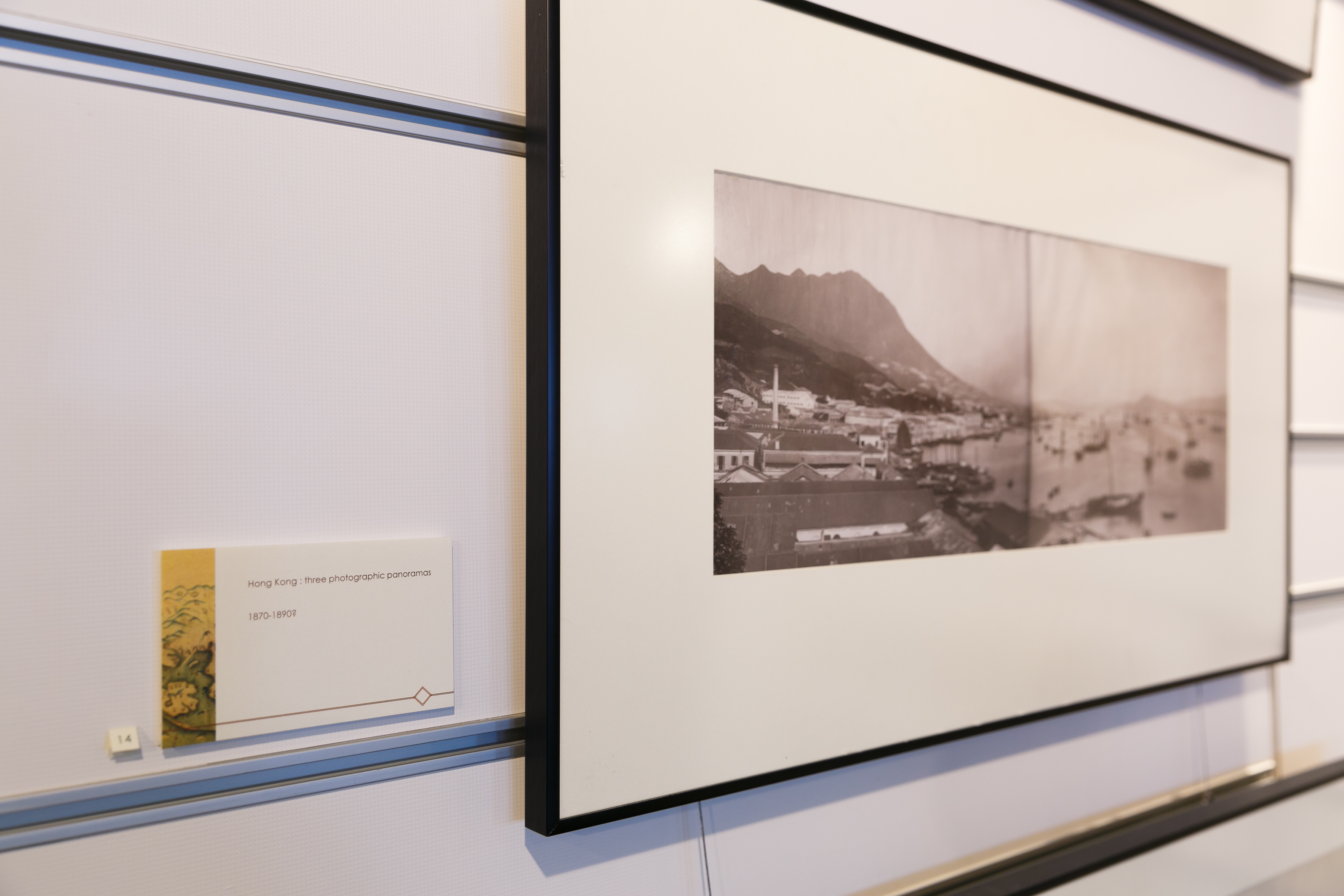
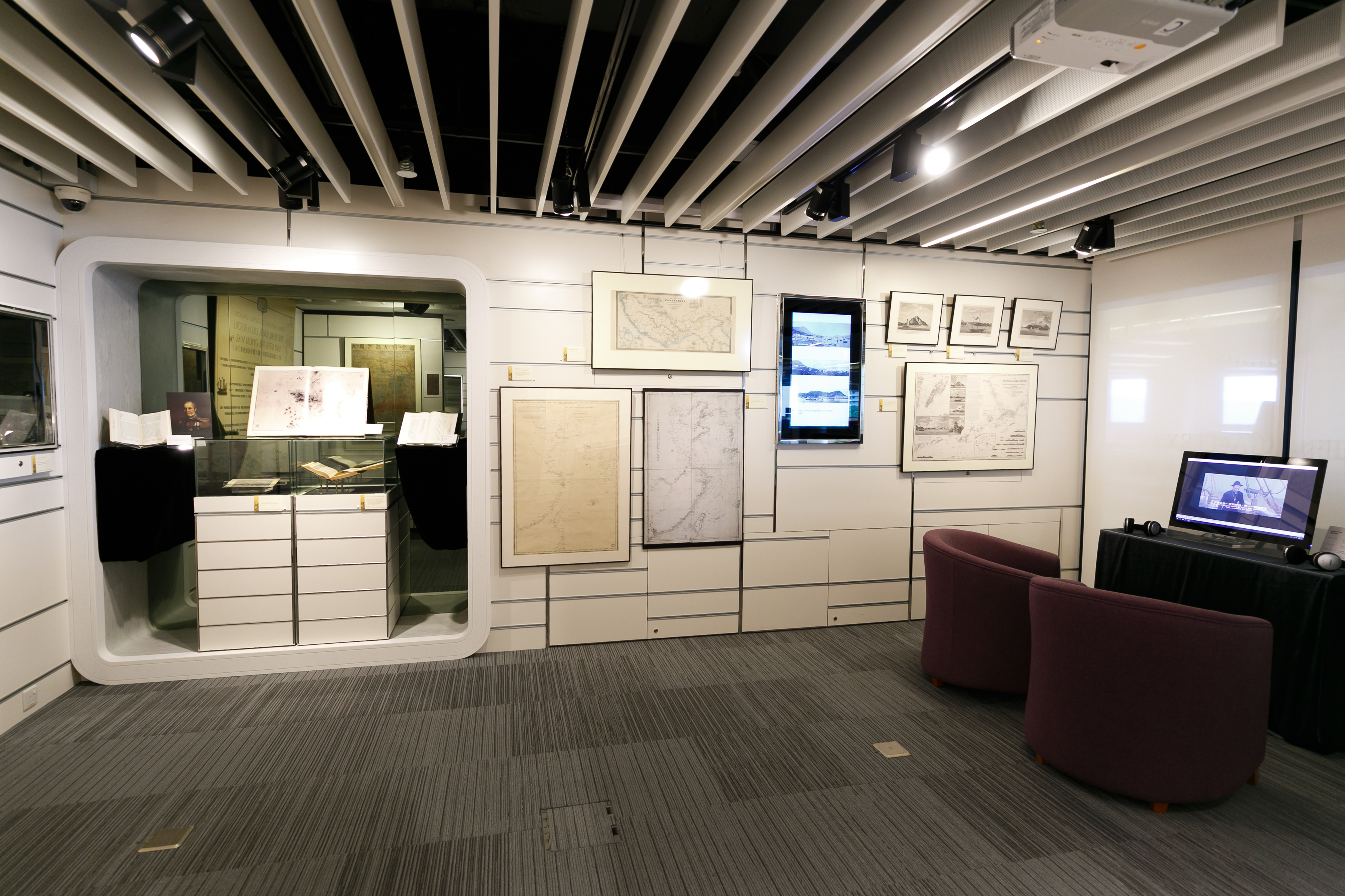
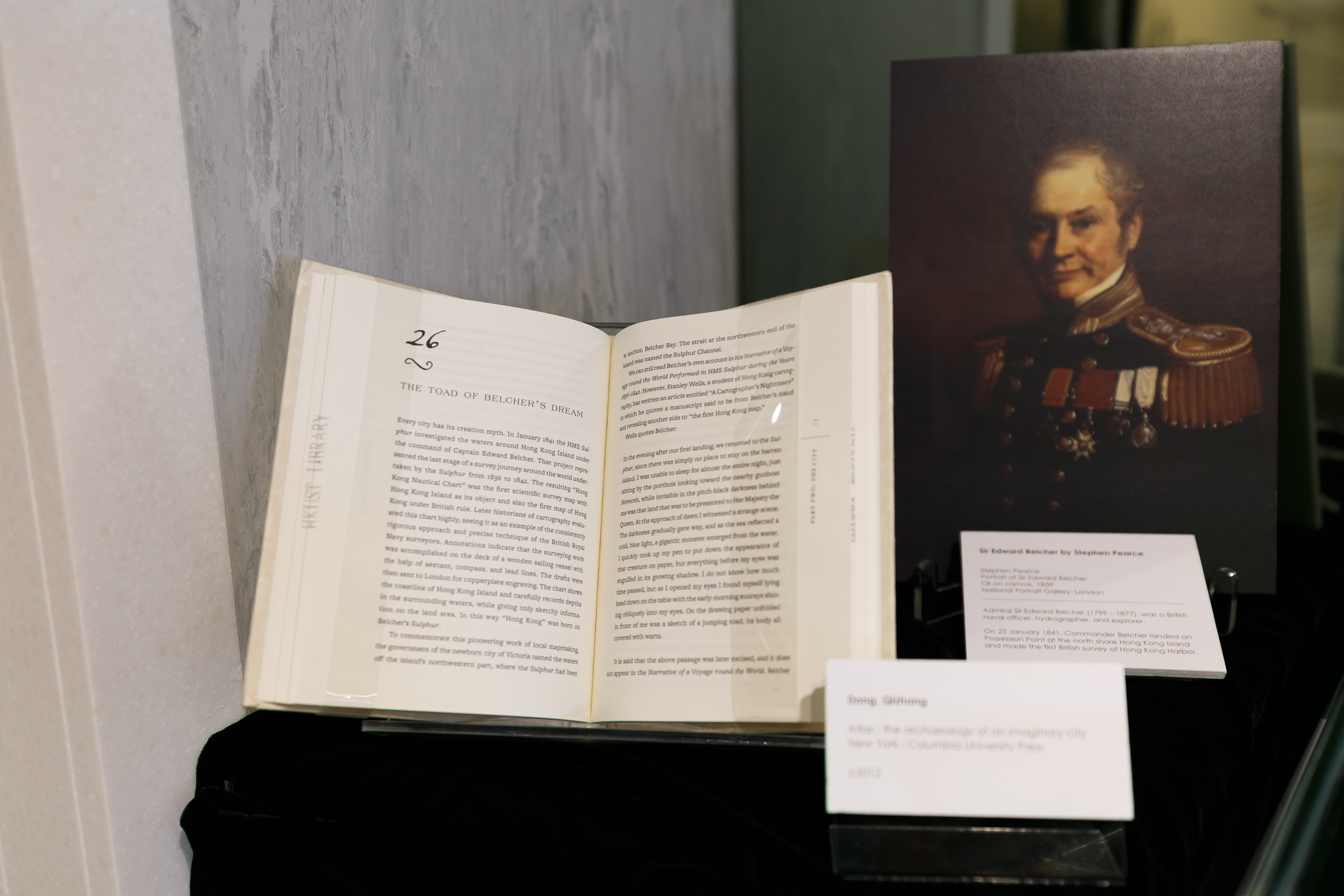
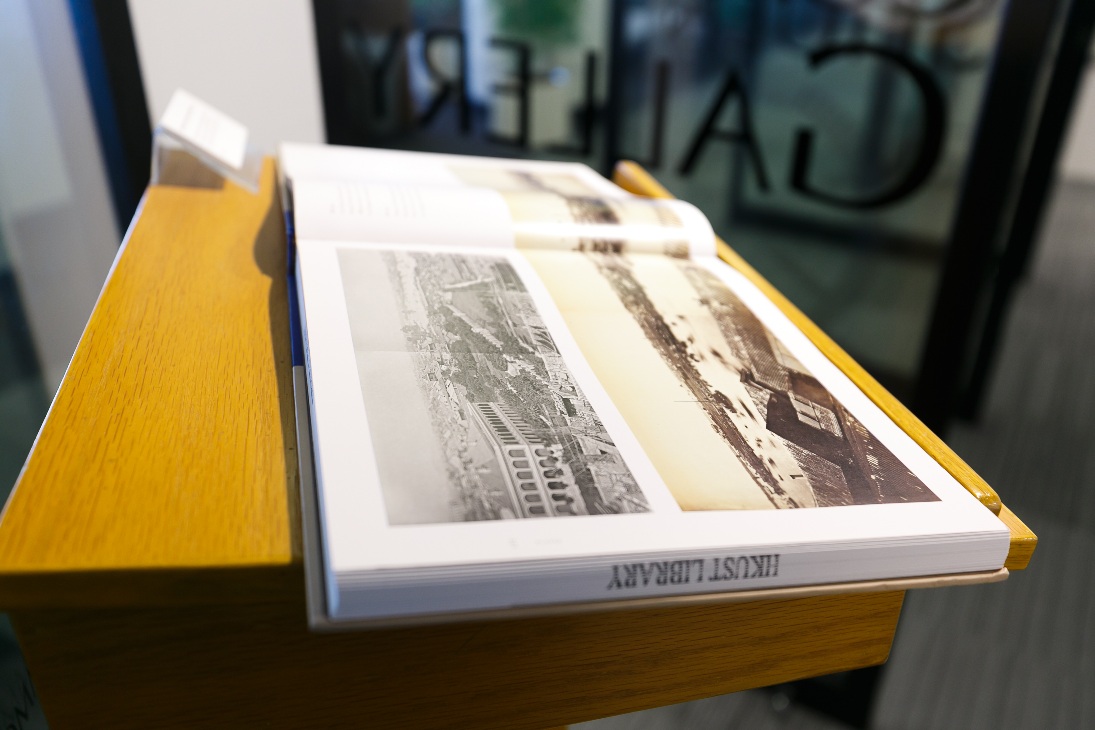
香港開埠的風貌從一系列的影像得以窺見,包括一套稀見的早期香港及周邊全景,範圍及至九龍和大嶼山;與及科大圖書館新近購得的三幀十九世紀中葉香港風景照。
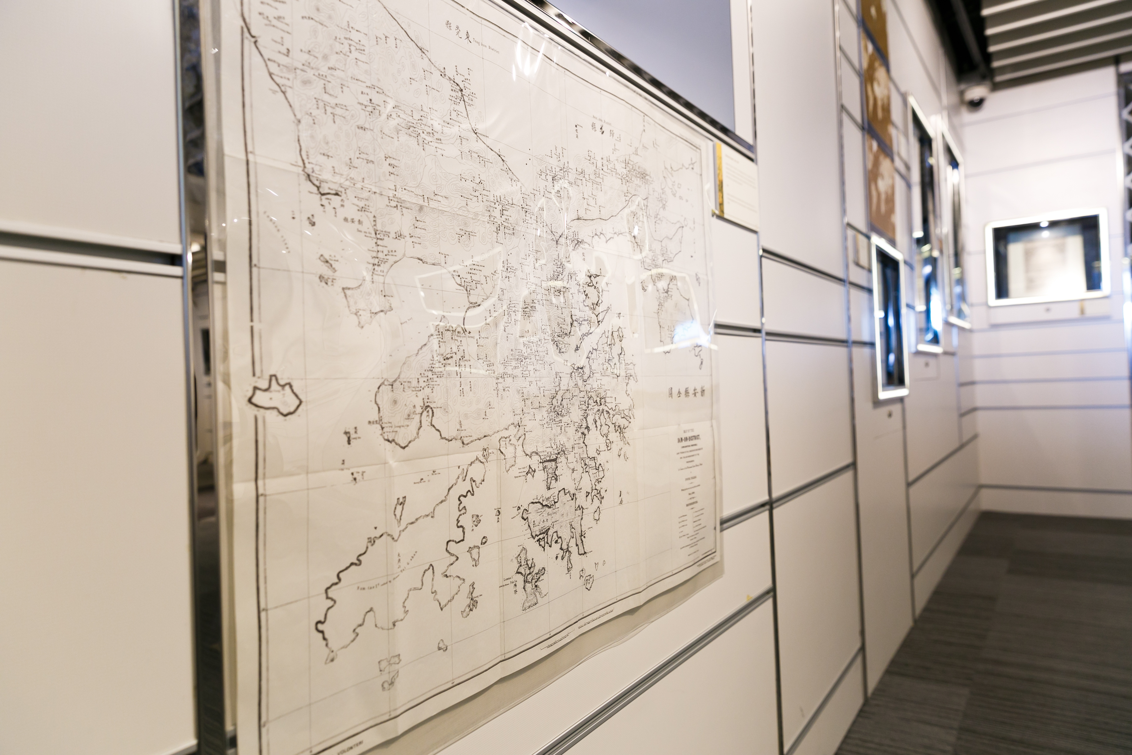
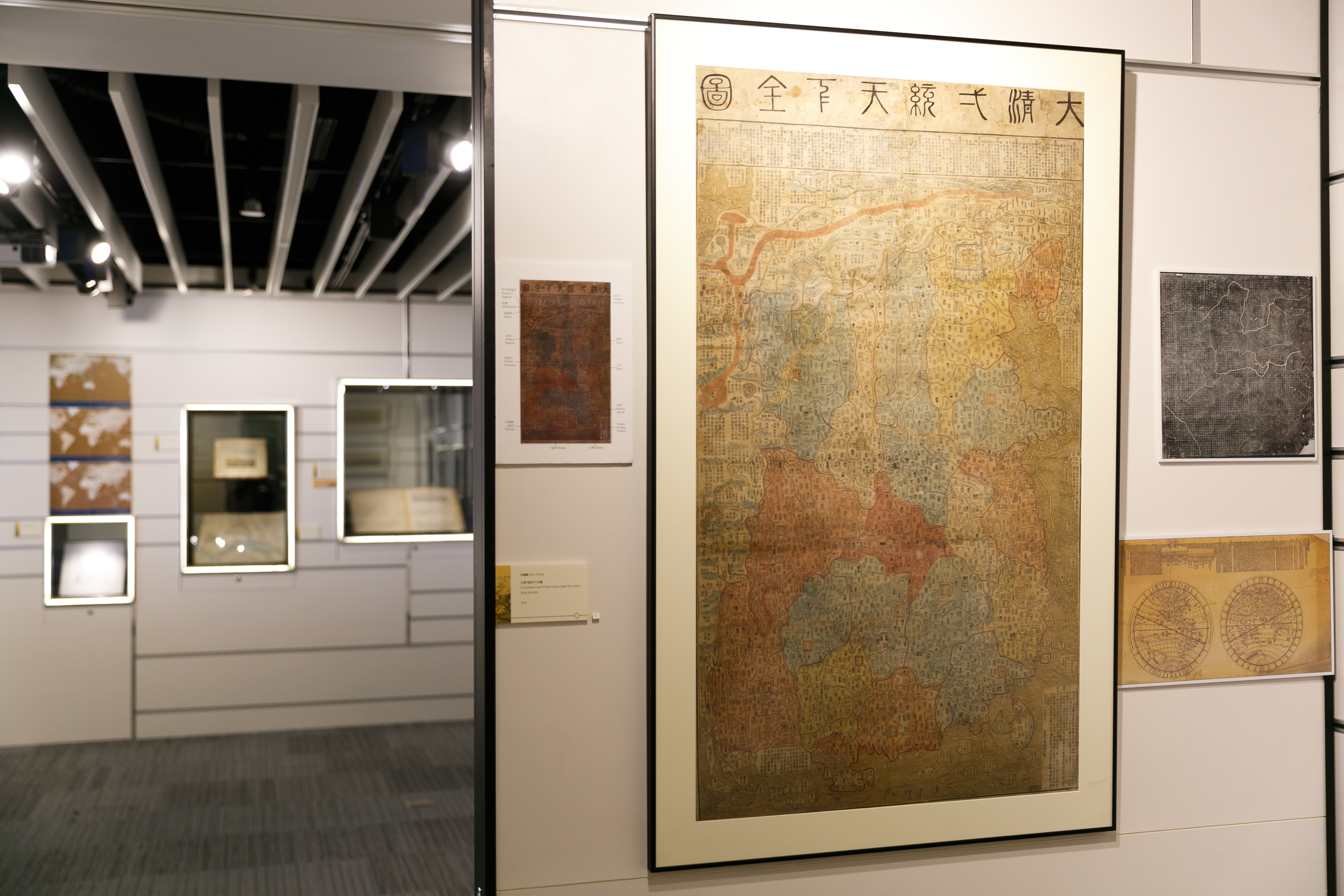
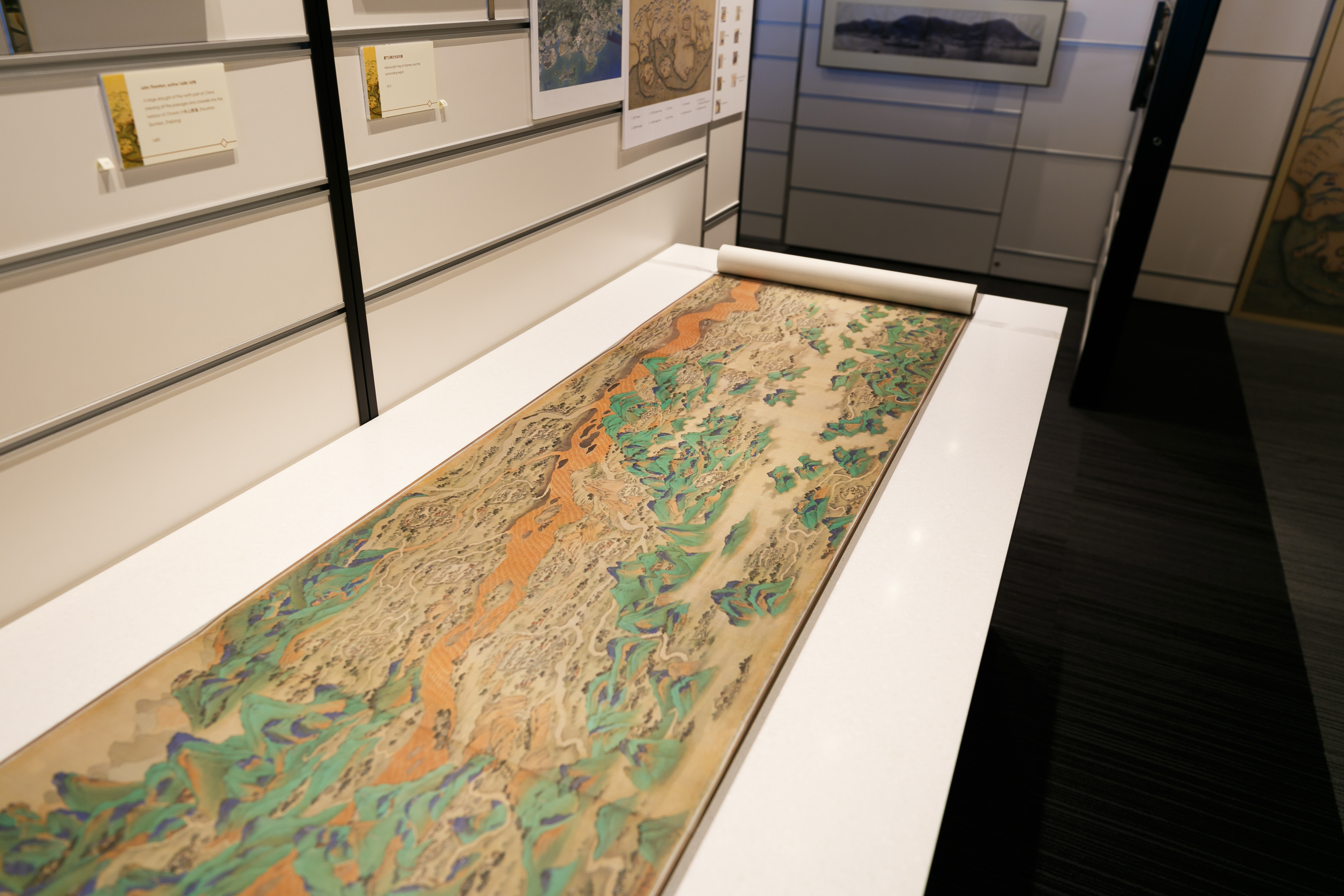
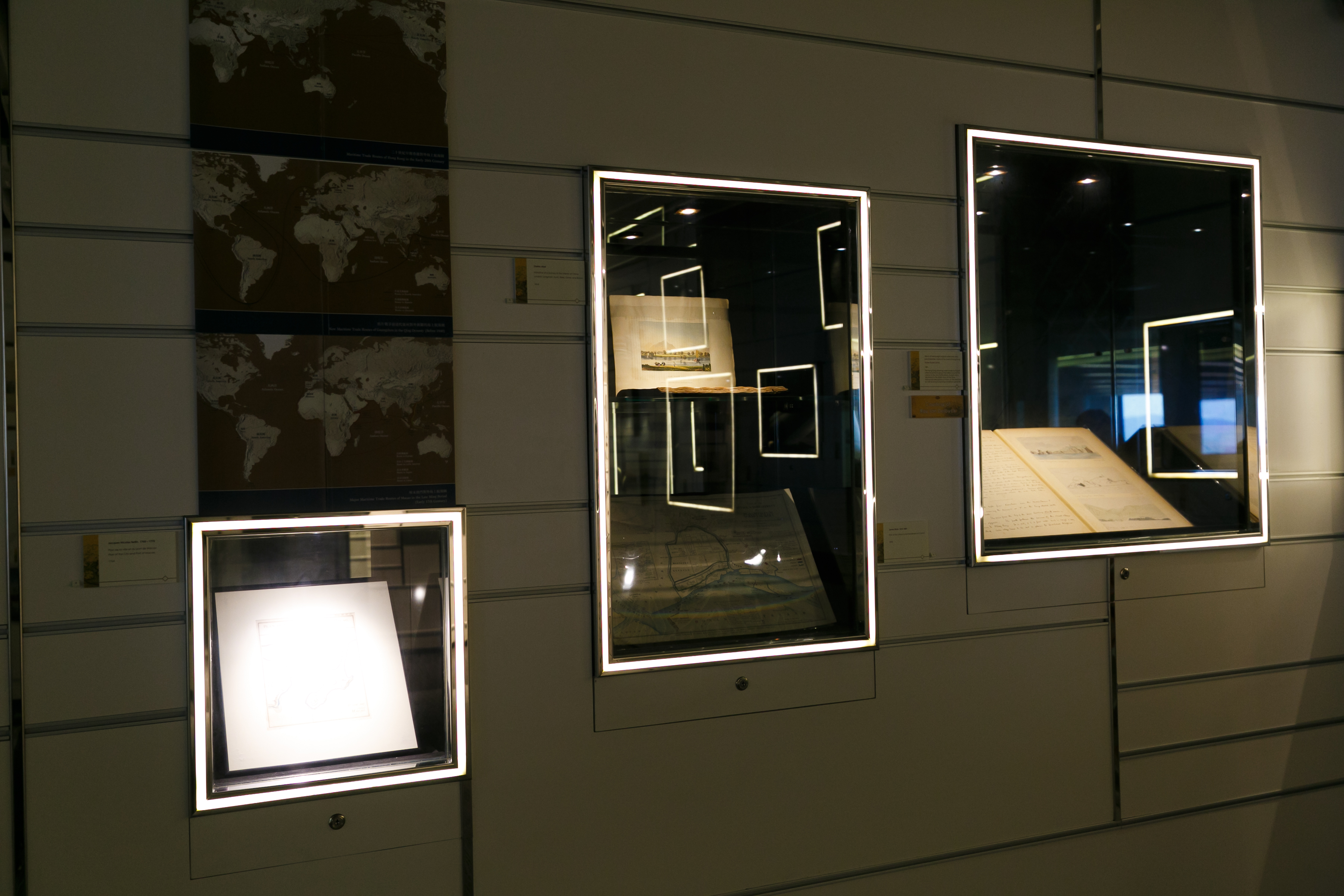
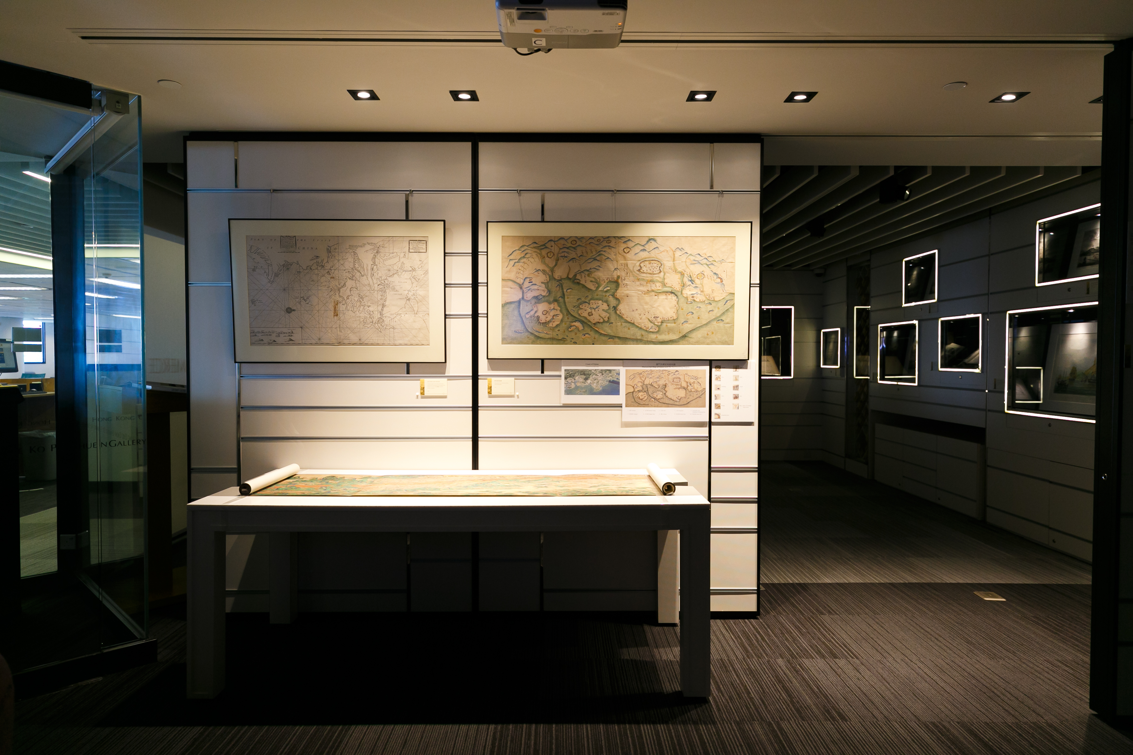
展覽後段的主題是製圖學,展出1800至1870年間的中西地圖,包括與兩次鴉片戰爭相關的兩幅西方地圖;而兩幅色彩豐富的中國「舊式」地圖,一為手繪,一為木版印刷,對照同時期的西方地圖,及其他較科學的中國地圖,觀者能更深層地理解帝國晚期中國的地圖製作,並非單純為「古舊中國」與「現代歐洲」的簡單二分。

The tours will be guided by Dr Marco CABOARA, Digital Scholarship and Archives Manager in the Library. He is an Italian scholar with a background in history of East-West interactions and Classical Chinese linguistics.
In the tours, Dr CABOARA will introduce original maps, city views, and photos of Macao, Canton and Hong Kong from 1700 to 1870, showing the changes in trade and the impact of the Opium Wars on the region. Dr CABOARA will discuss the background and the visual features of these valuable and fascinating images, and also explain the other theme of the exhibition, the different views of the world and the different technologies shown by Chinese and Western maps at the start of the European expansion in the region.
Dates
- 28 Sep 2017 1-2 pm
- 24 Oct 2017 1-2 pm
- 23 Nov, Mon, 1-2 pm
- 12 Dec, Tue, 1-2 pm
- 18 Jan, 2018, Thu, 1-2 pm
- 27 Feb, Tue, 1-2 pm (canceled)
- 6 Mar, 2018, Tue, 1-2 pm
- 21 Mar, 2018, Wed, 12-1 pm
- 11 Apr, 2018, Wed, 12-1 pm
Remarks: HKUST students may attain 1 hour credit for the HLTH1010 Healthy Lifestyle Course after attending the guided tour. Please show SID card on arrival.
