


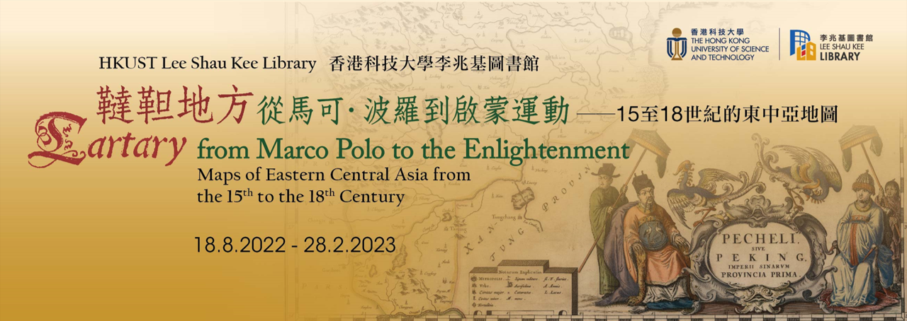
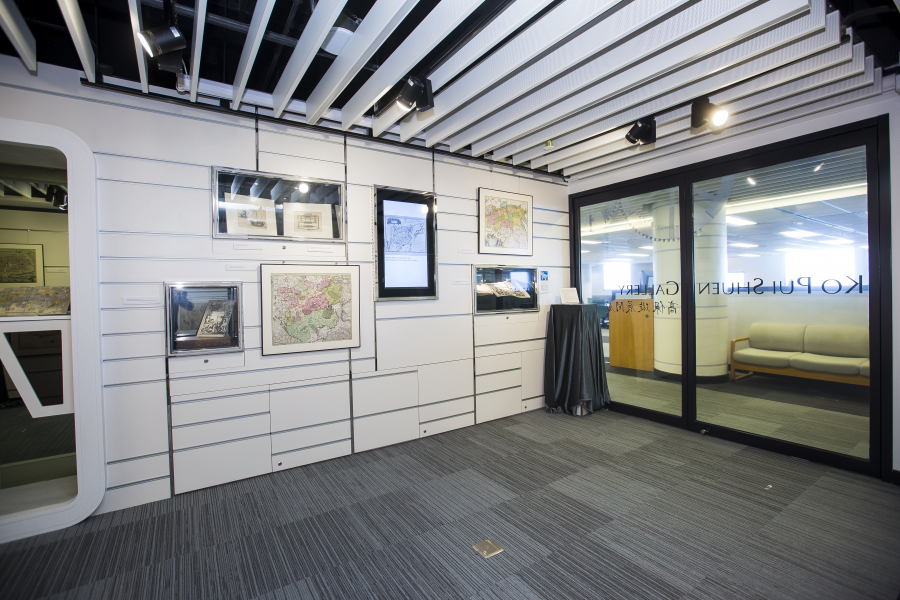
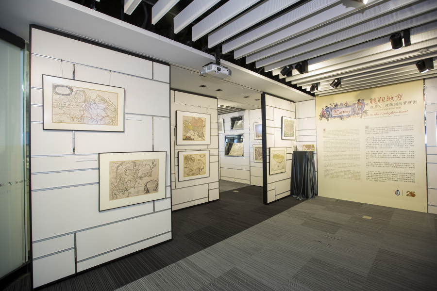
"Tartary" from Marco Polo to the Enlightenment 韃靼地方: 從馬可·波羅到啟蒙運動
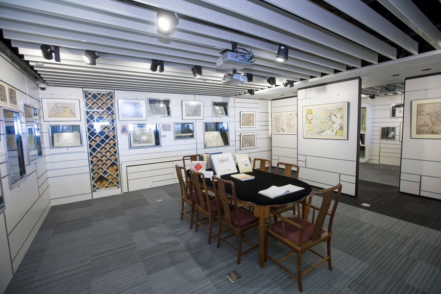
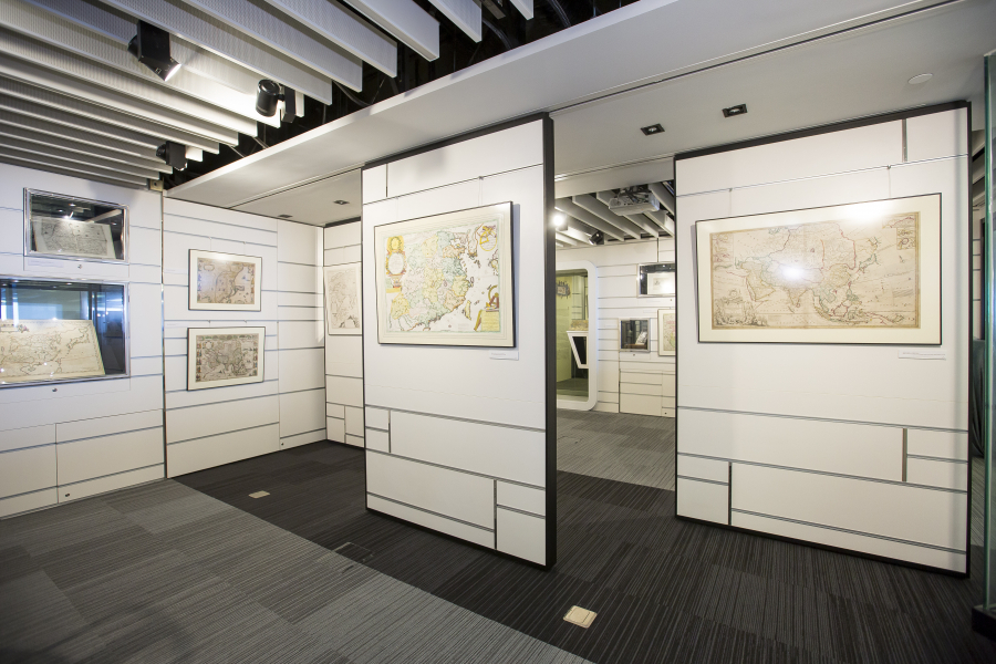
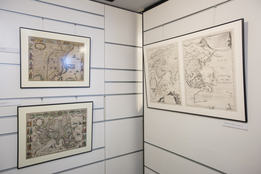
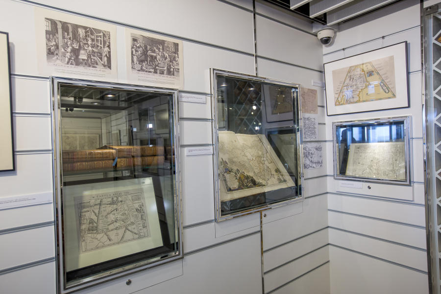
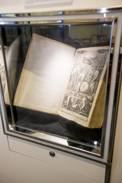
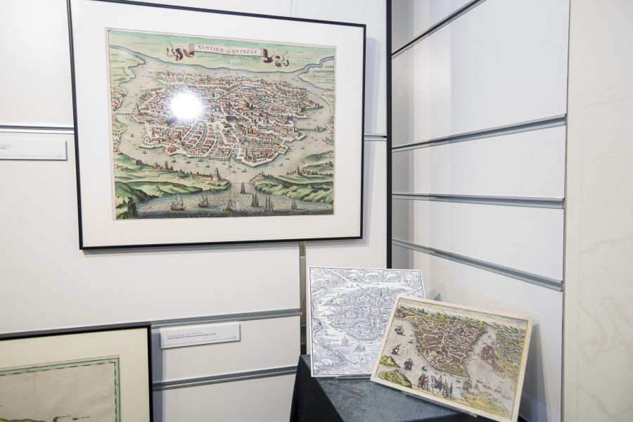
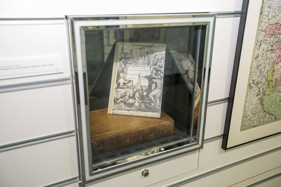
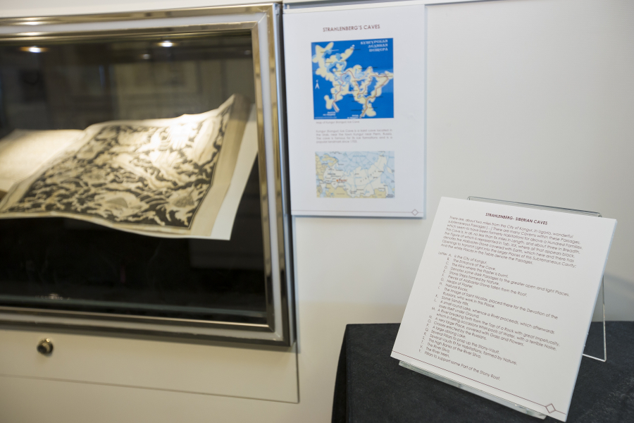
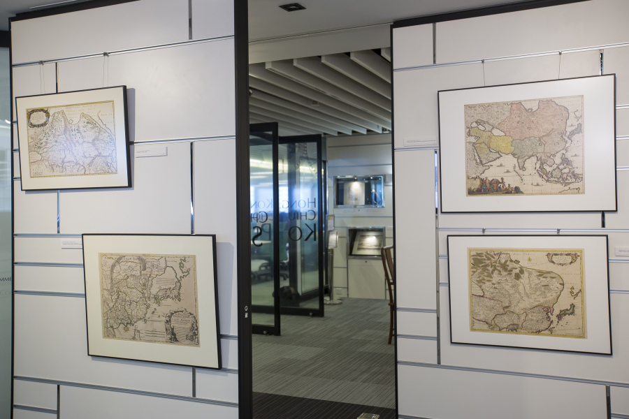
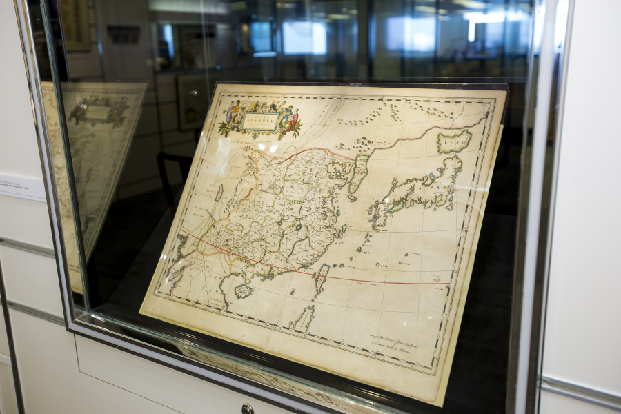
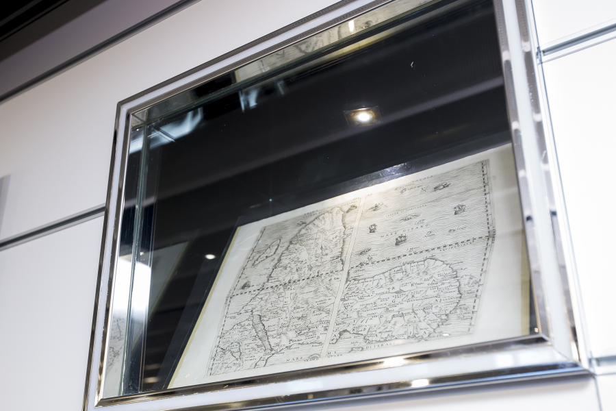
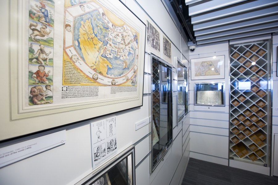
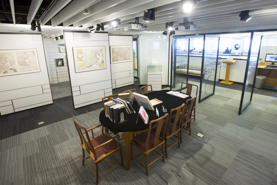
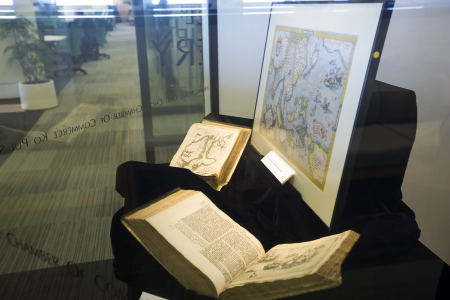
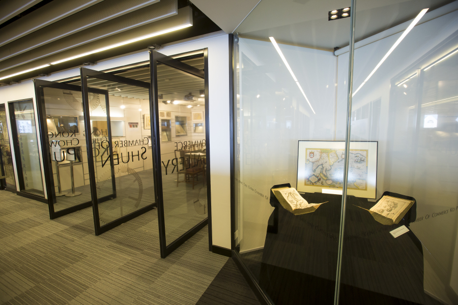
這裏展示圖書館特藏中獨特的手繪彩色地圖和古書呈現出中國和中亞種種令人驚嘆的圖像,這些地圖是十五至十八世紀三百年間由歐洲人繪製的,其中既有傳說中的狗頭怪物,又有精確得連現代地理信息系統都難以改進的地圖。
馬可·波羅(1254-1324年)去中國時,並沒有地圖來為他指路,有的只是從旅行者和古老傳說那裏獲得的知識。當時,絲綢之路被蒙古人(在歐洲被稱為「韃靼」)控制著。因此,中亞和中國北方(契丹)被統稱為 「韃靼地方」。十四世紀後期,在蒙古帝國崩潰、絲綢之路被阻斷之後,長達幾世紀都沒有新的信息傳入歐洲,因而歐洲最古老——早至十六世紀初——的印製地圖上顯示,韃靼地方為怪物所棲居,並仍由大汗忽必烈(1215-1294年)管控。
第一批葡萄牙旅行者於1520年代經海路來到中國南部,他們隨著馬可·波羅把此地叫做「蠻子」。歐洲人要再經過兩代之後才弄清楚「蠻子」和「契丹」指的其實是一個國家——中國。甚至要過更久,他們才繪出與中國的實際形狀相像的地圖,並標示其本來的地名。
然而,在歐洲繪製的中國地圖上,中國東部和北部邊界之外的地方,那些古時候及馬可·波羅所用的地名仍被沿用了幾百年;從俄國到中國之間的幾乎所有地方,仍被標記為陌生的 「韃靼地方」。
只有到了十八世紀,隨著新的科學勘查方法的出現和知識流通更加自由,歐洲製圖師才停止使用「韃靼地方」這個名稱。之所以如此,是由於康熙皇帝(1661至1722年在位)下令對其帝國作一次詳細的勘查,並由耶穌會科學家協助進行(他們把測繪圖暗中送回歐洲),最終製成了「大中華」的大型地圖冊。西方繪製中國地圖的「現代」時期正發端於此。

The tours will be guided by Dr Marco CABOARA, Digital Scholarship and Archives Manager in the Library. He is an Italian scholar with a background in history of the Silk Road and Classical Chinese linguistics.
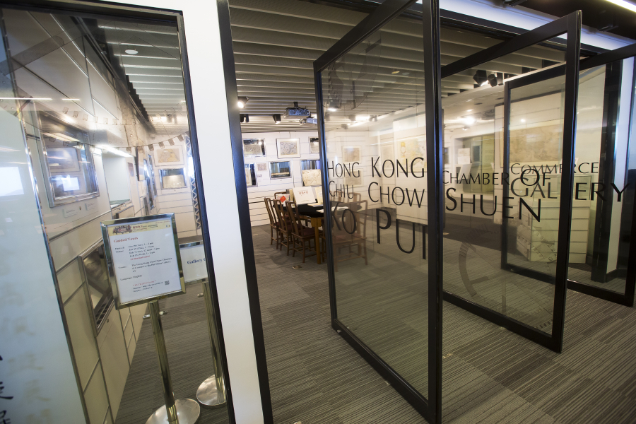
In the tours, Dr CABOARA will introduce the unique hand colored maps and antique books from the Library Special Collections now on display in KPS Gallery. These maps offer different stunning visions of China and Central Asia spanning three hundred years of European cartography (15th to 18th centuries). Dr CABOARA will tell the story of why China was known as “Tartary” and will also highlight the historical background and some of the special features and graphics of several maps that are representative of the period.
Please click here for registration.
Note:
- This is a recognized event in the “Self-directed Experience” component of CORE1905: Behavioral Foundations of University Education: Habits, Mindsets, and Wellness. You need to attend the event in full to get 1.0 hour
