


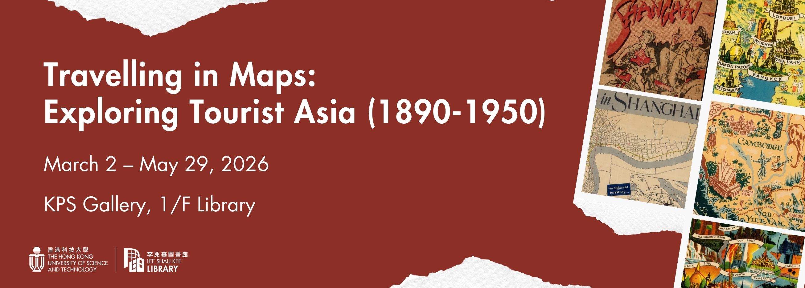
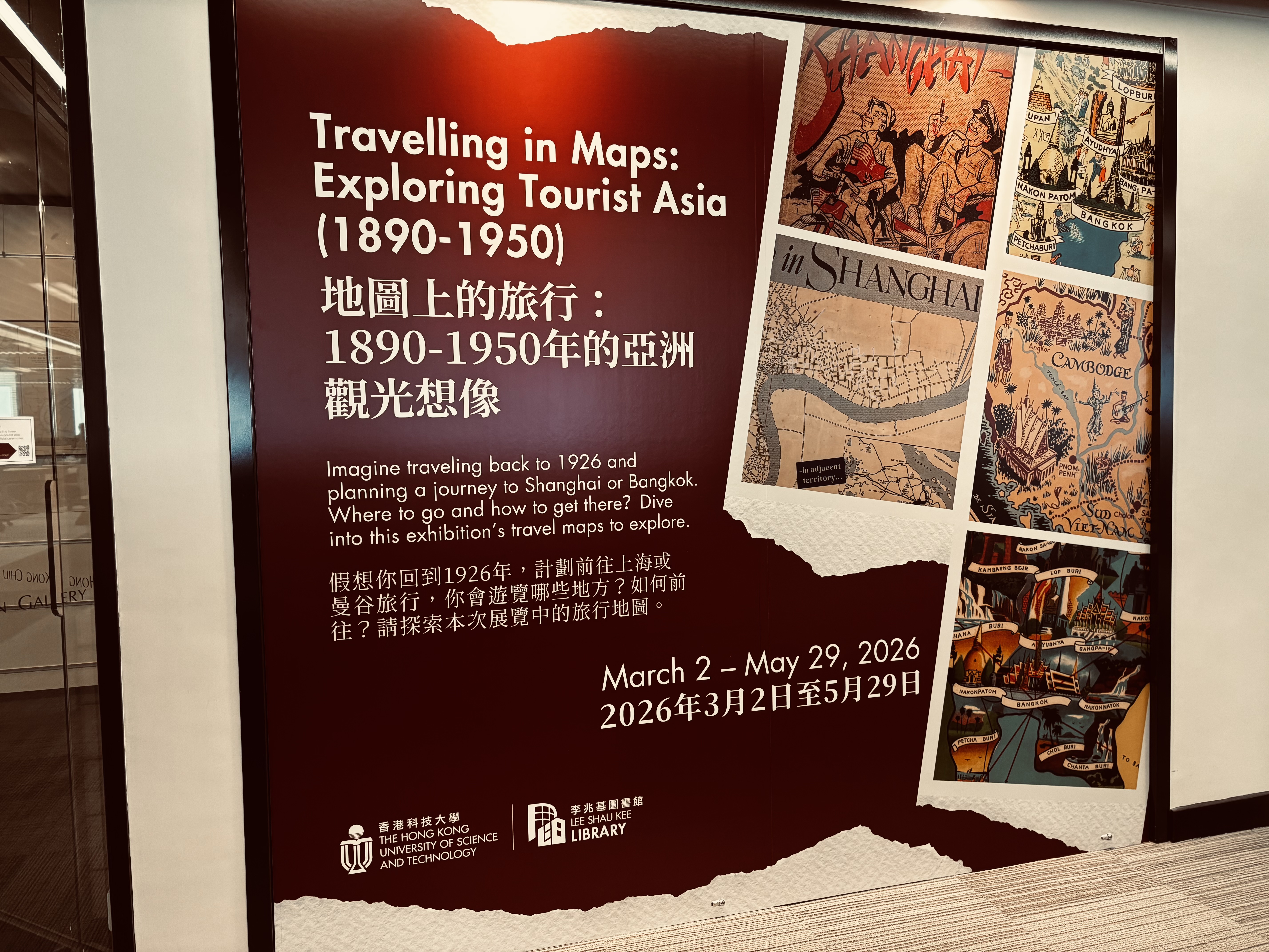
Travelling in Maps: Exploring Tourist Asia (1890-1950)
Foreword
Travel has become an essential part of modern life. Nearly everyone has been a tourist at some point, stepping outside their daily routines and expecting to encounter a different world, or a somewhat “other” culture. Travel offers a sense of escape, filled with fun, pleasure, and enjoyment — what some call a “holiday”.
Before the 19th century, however, long-distance travel was far from leisurely. Journeys across continents were perilous and often life-threatening. Sea voyages were hindered by limited navigation techniques, unpredictable weather, unsanitary onboard conditions, and the constant threat of pirates. Travel by land was no safer. Those who undertook such journeys were often driven by a greater purpose, whether religious passion, the pursuit of great fortune, or coercion.
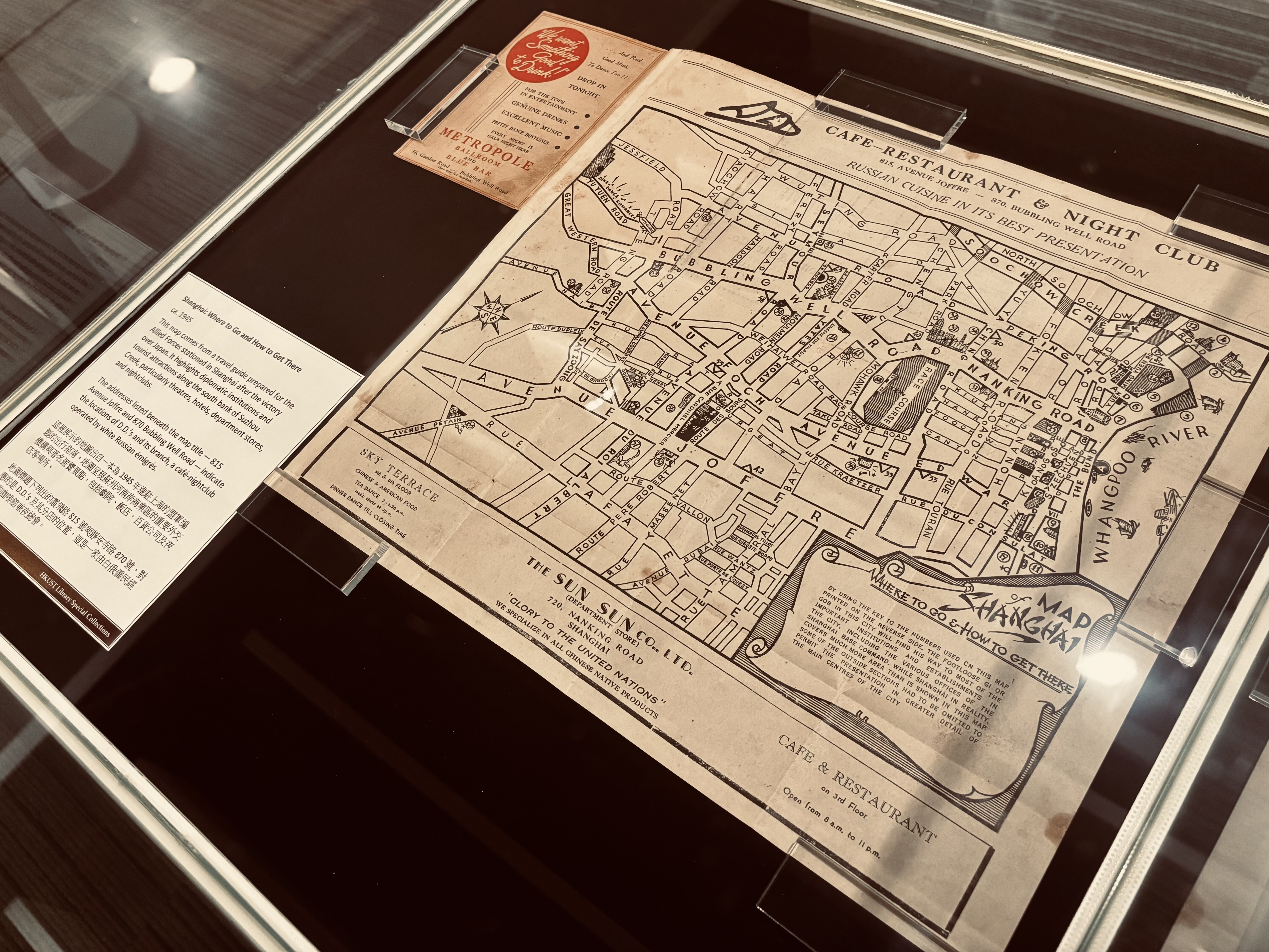
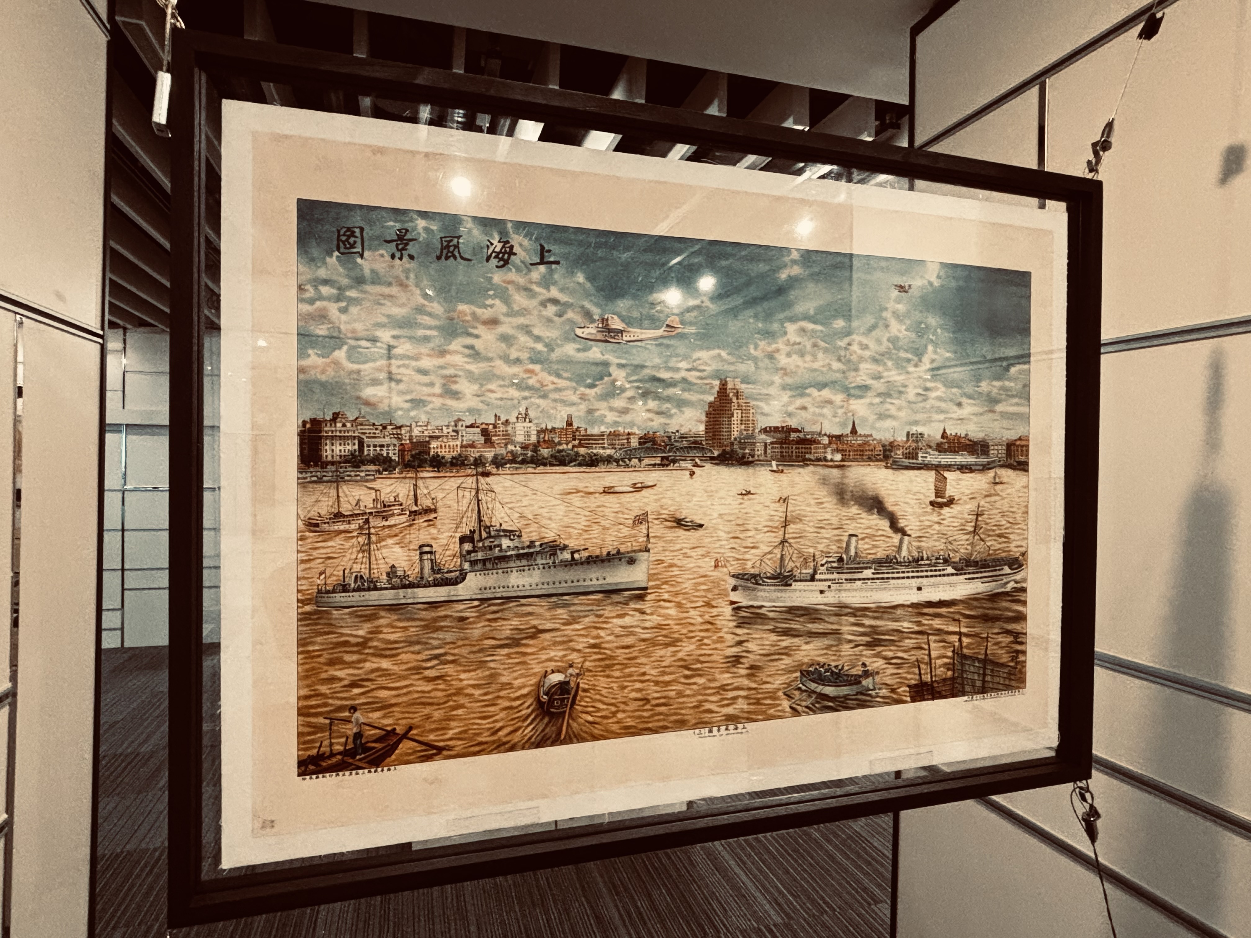
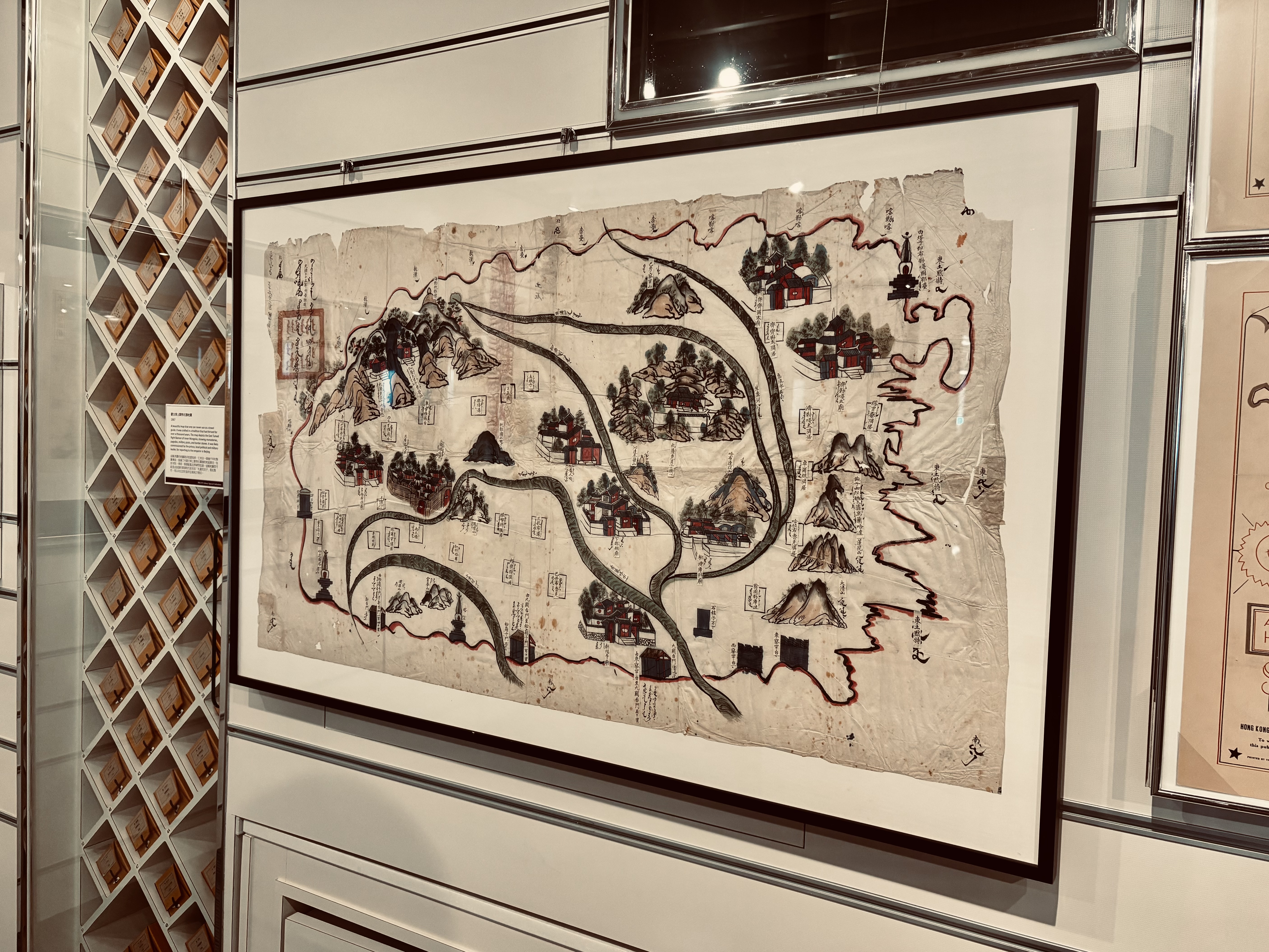
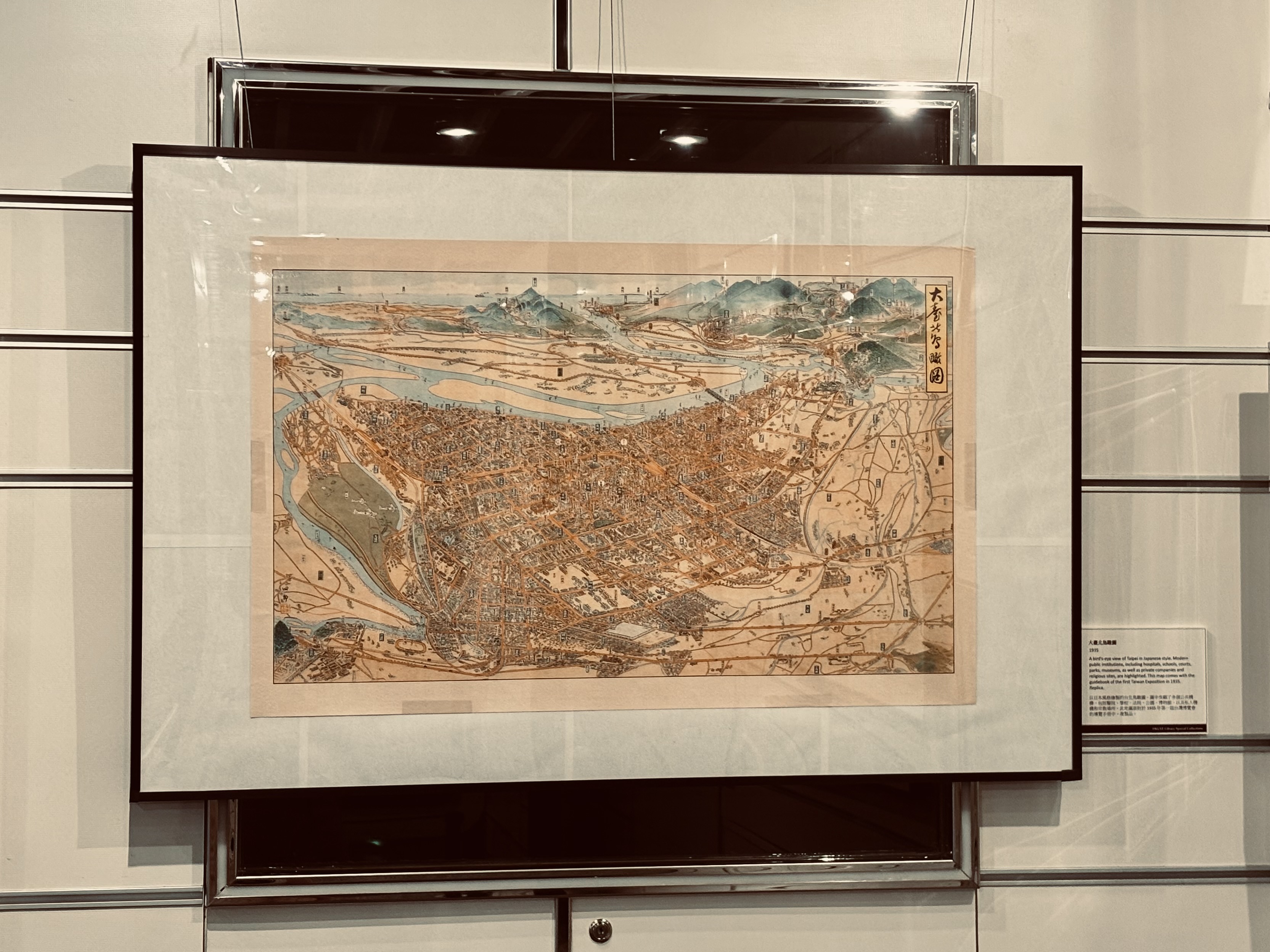
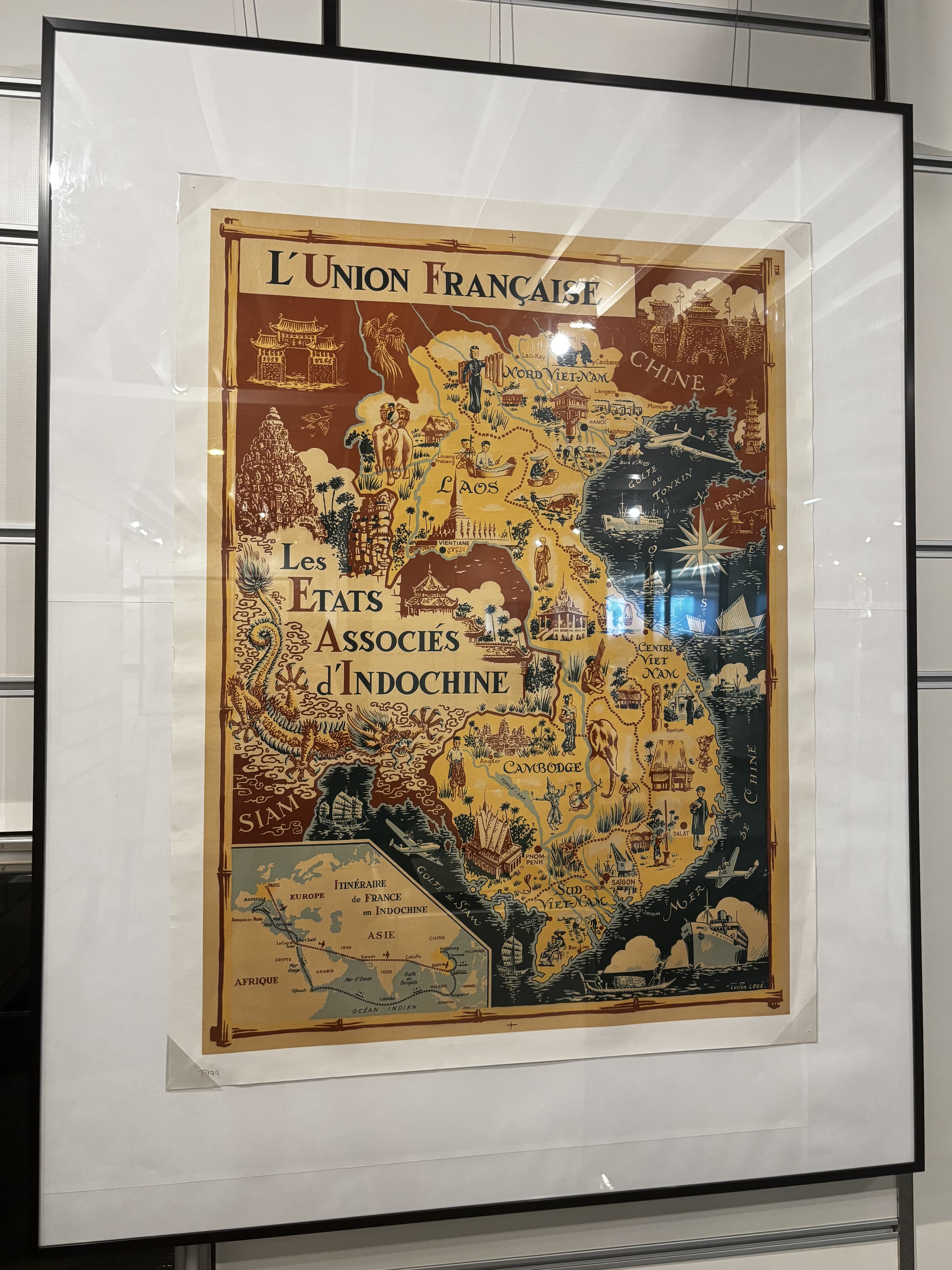
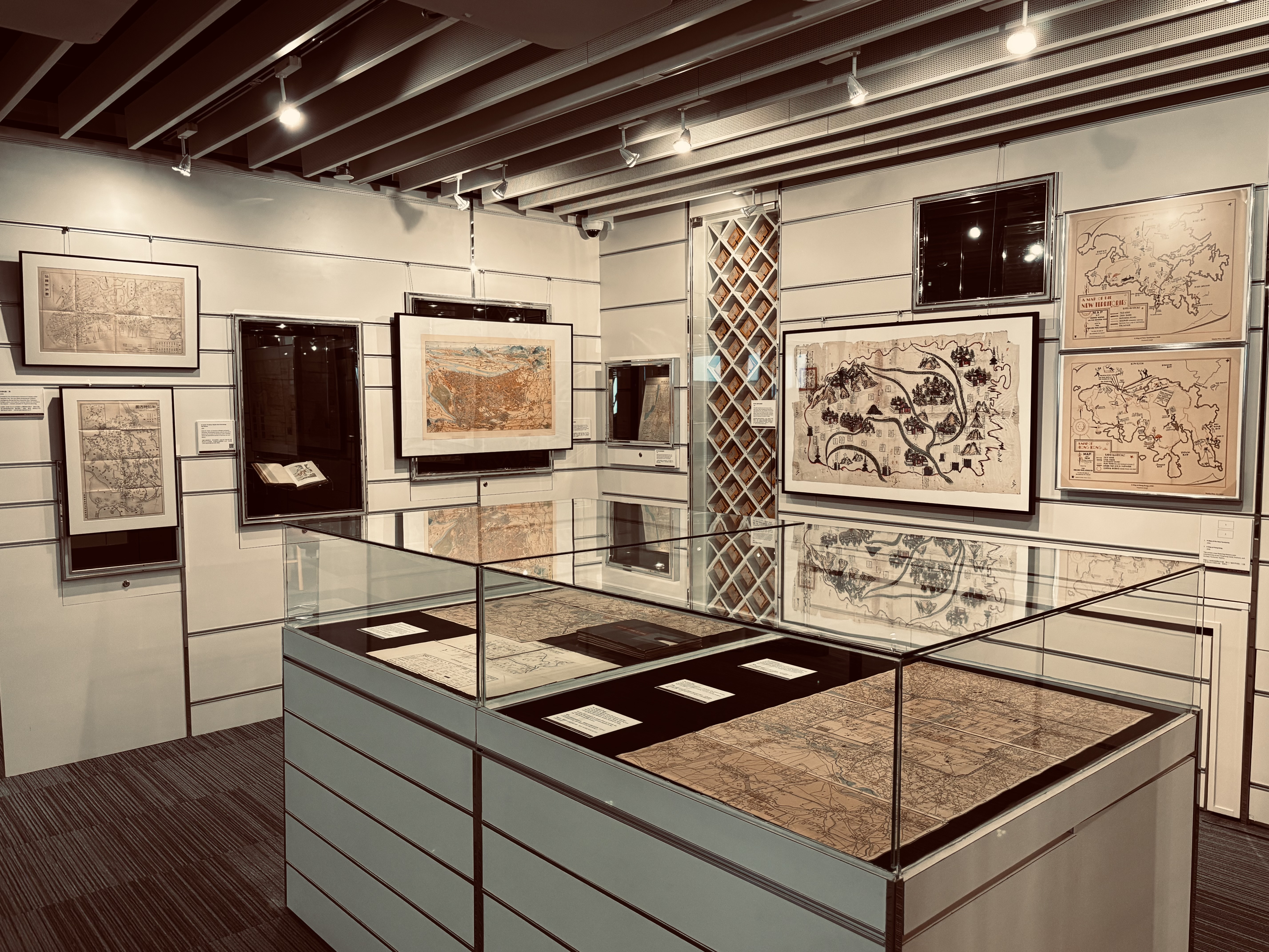
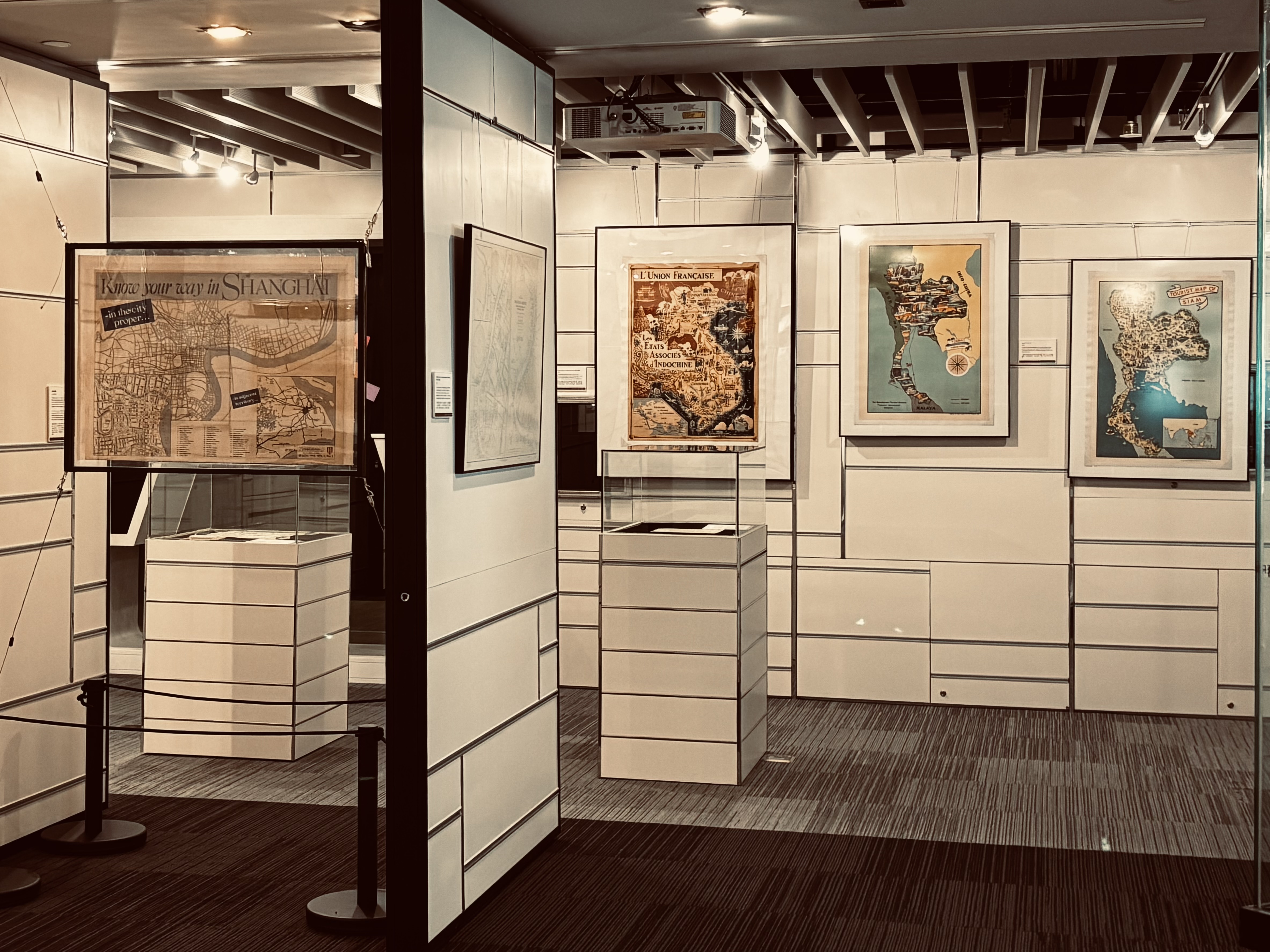
This exhibition presents a selection of travel maps of Asia created between the 1890s and 1950s. This was a transitional era in which long-distance travel expanded rapidly due to the growth of modern transportation networks, particularly railways and commercial aviation. Yet it predates the rise of mass tourism in the 1960s, a moment when cultural critics lamented that “vulgar” tourists were eroding cultural sophistication.
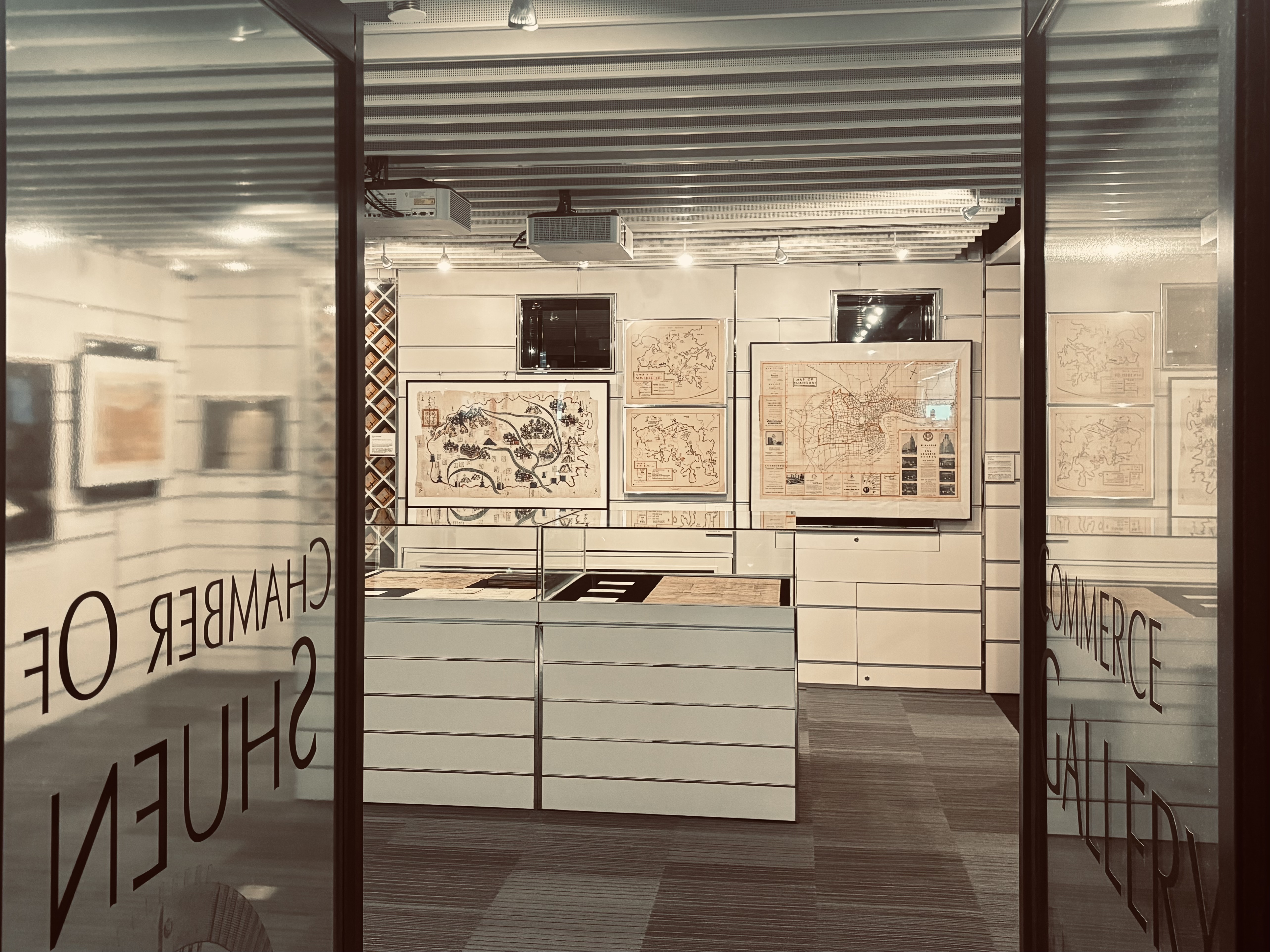
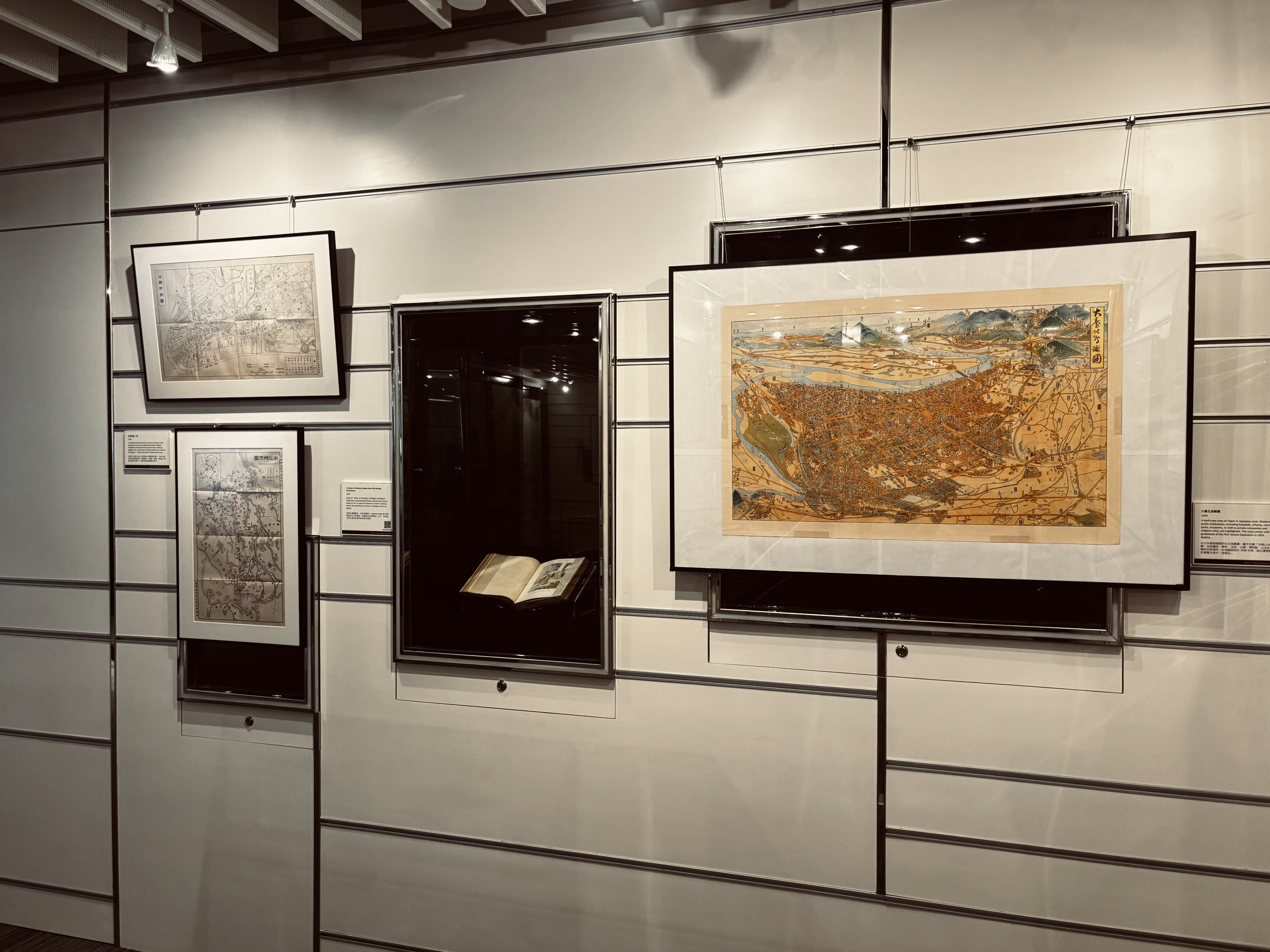
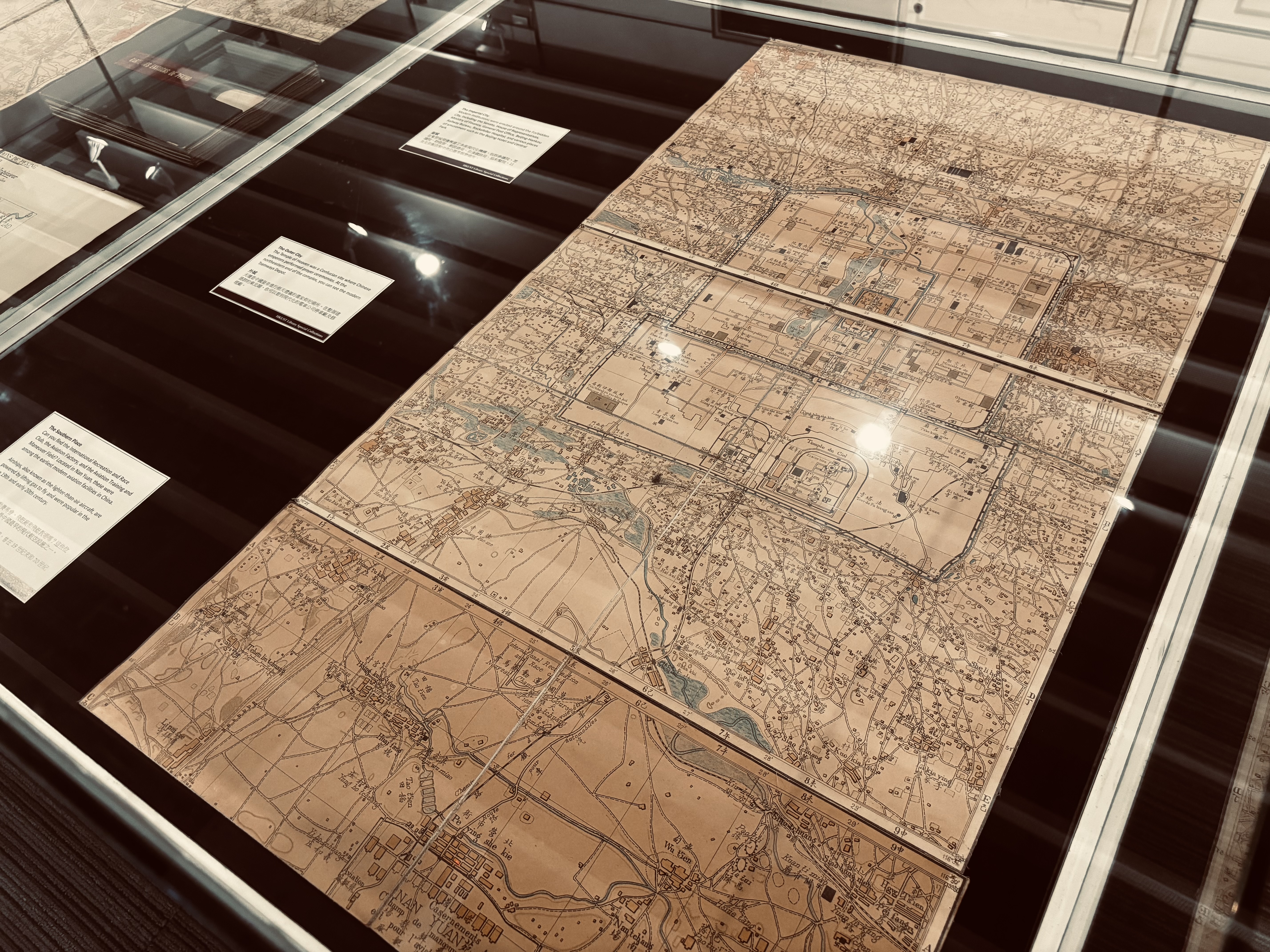
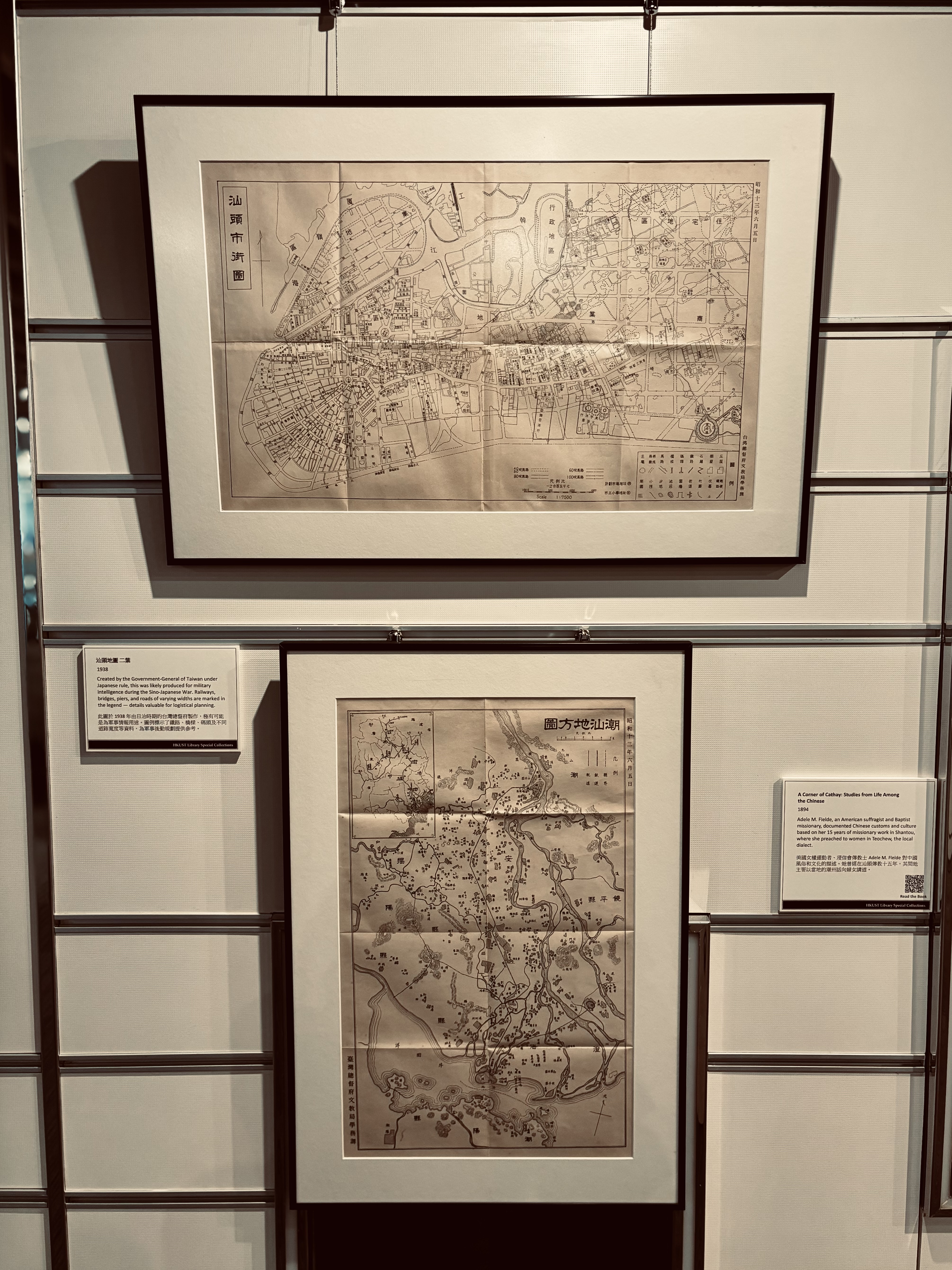
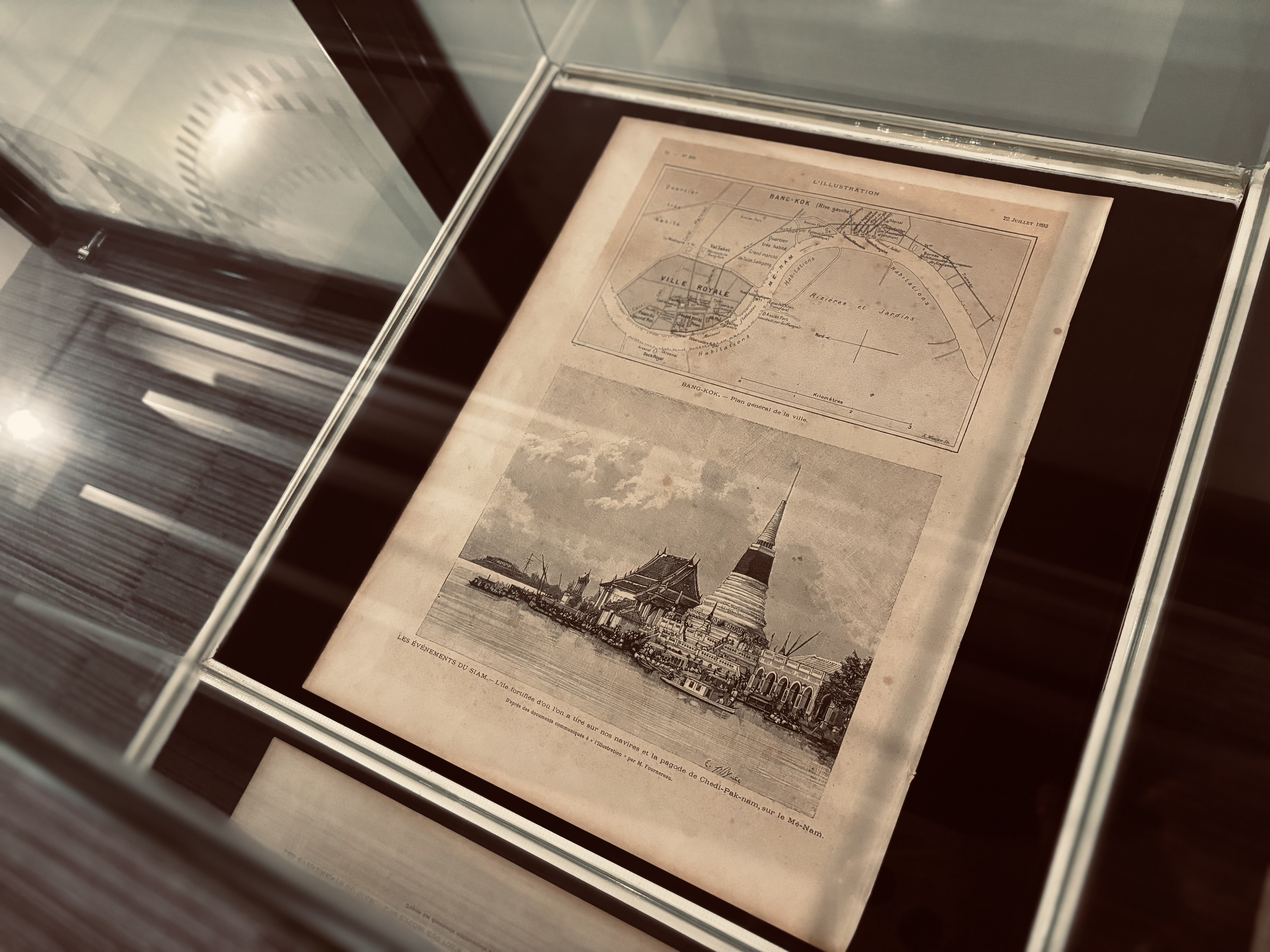
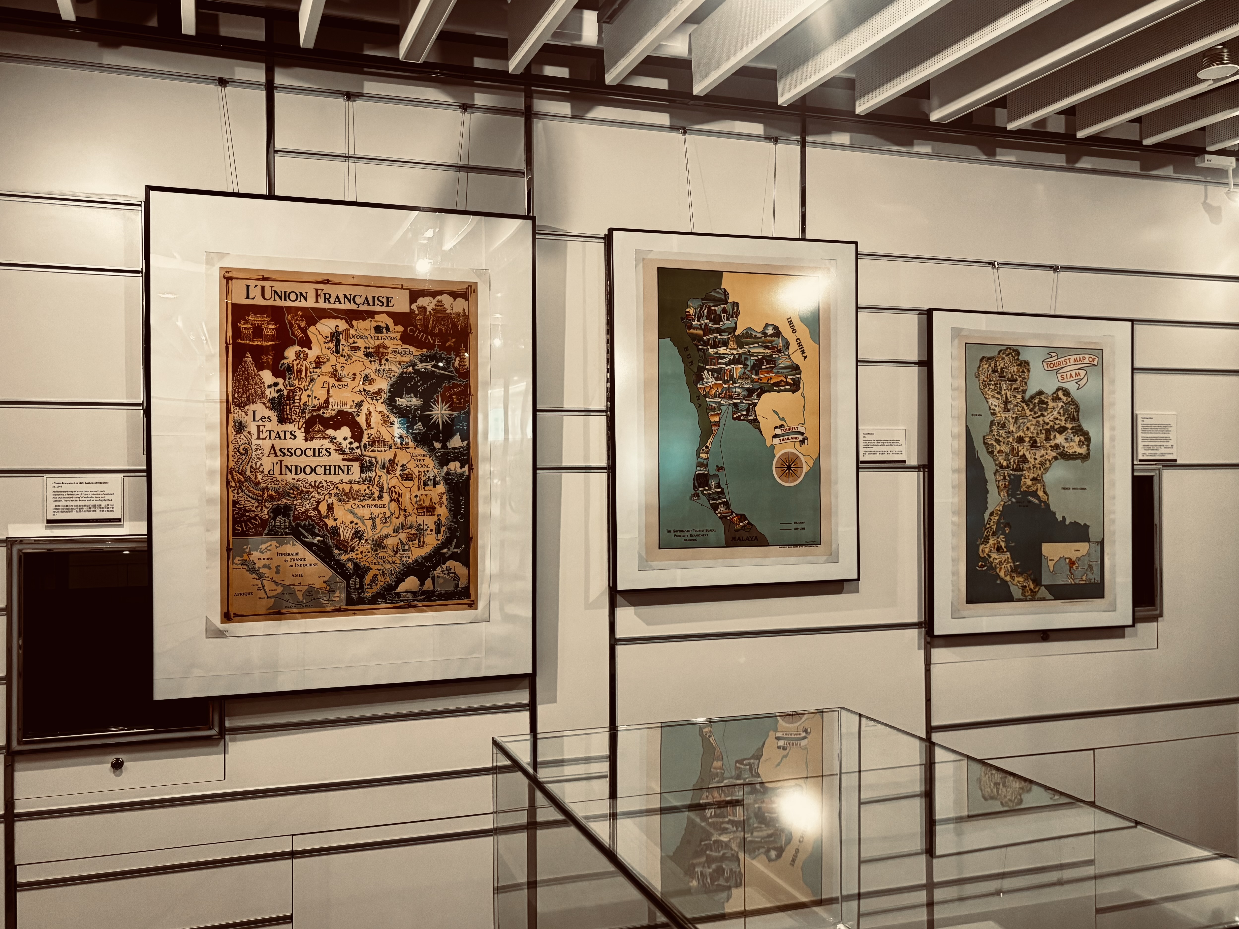
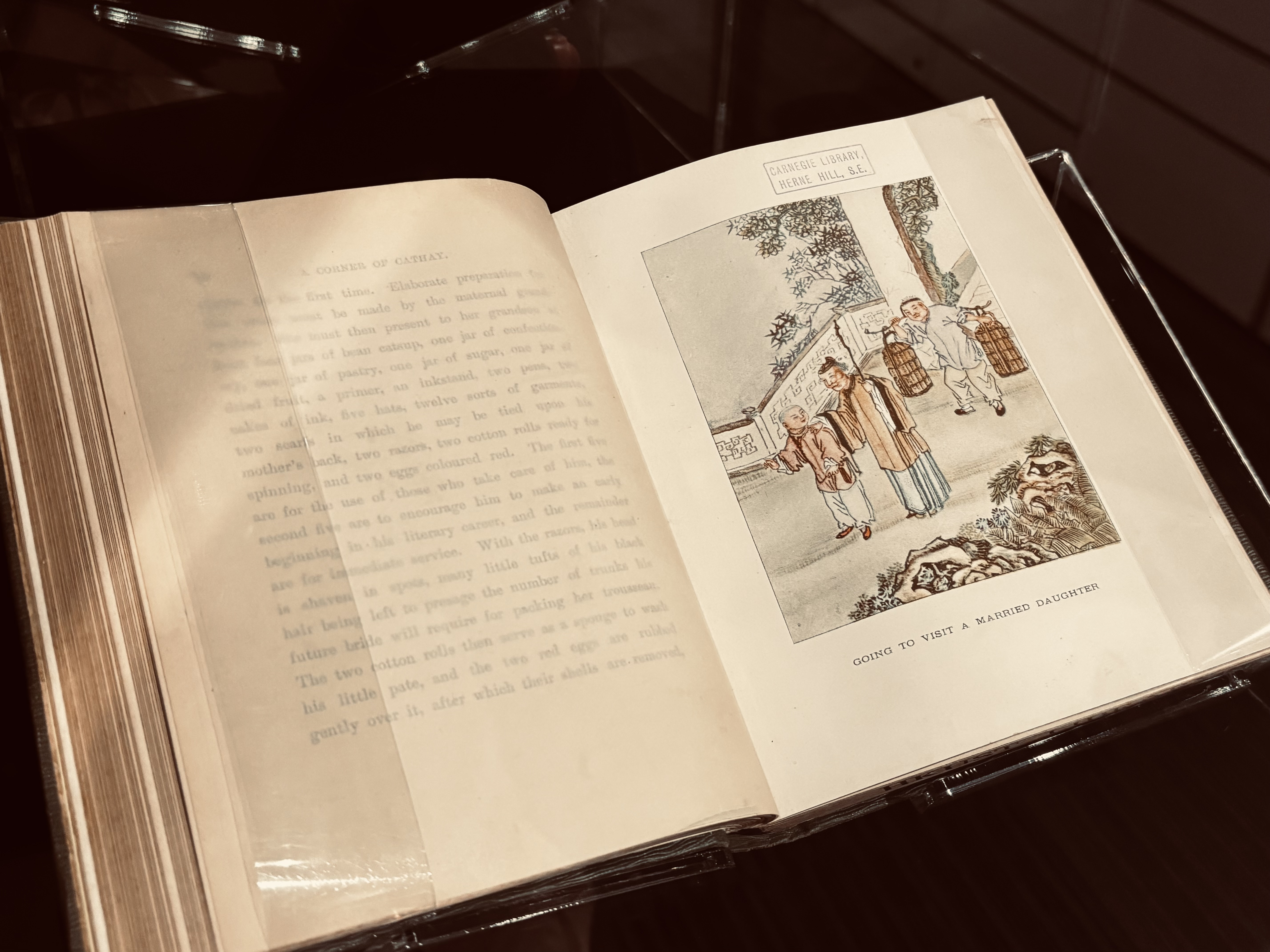
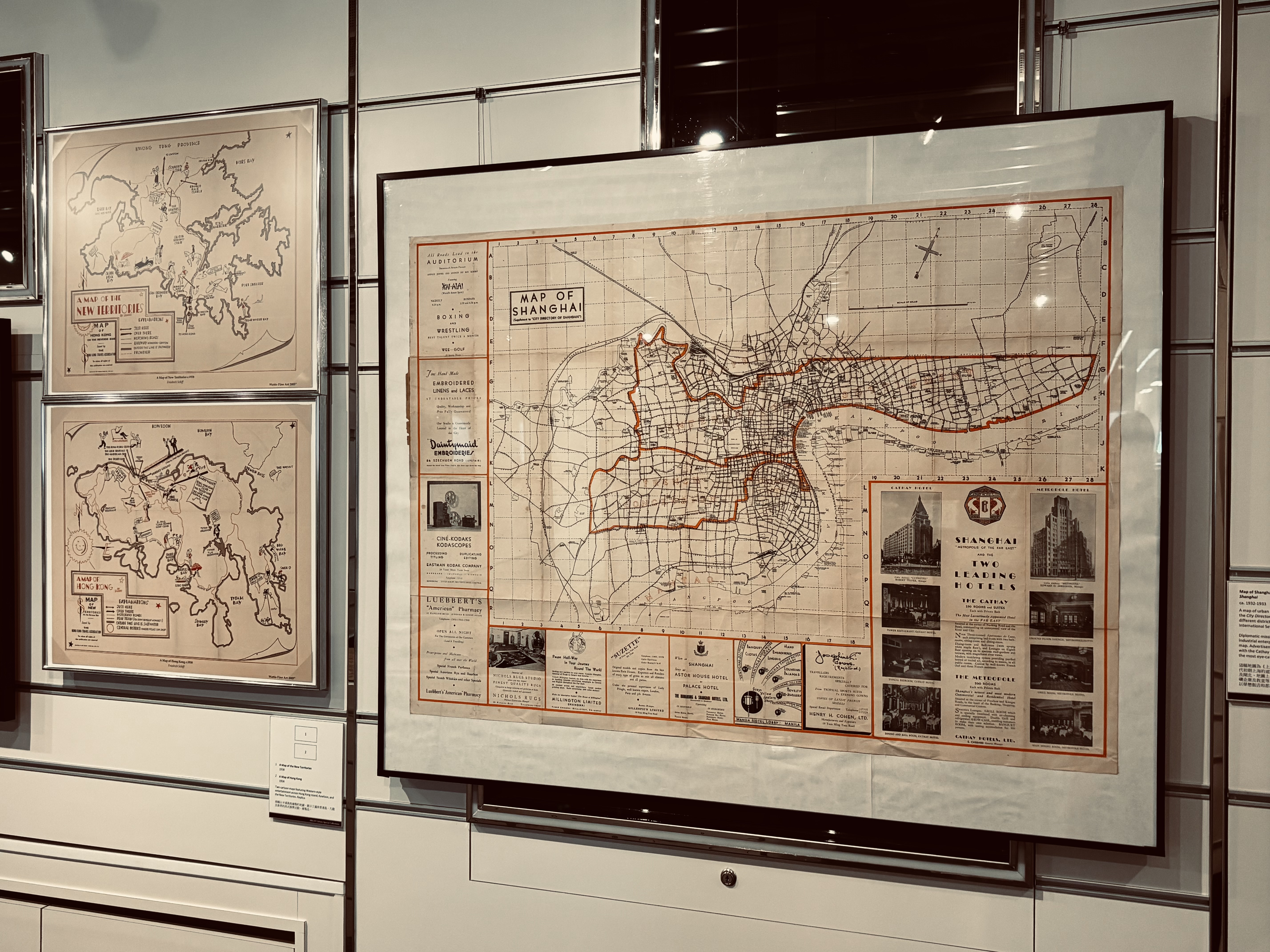
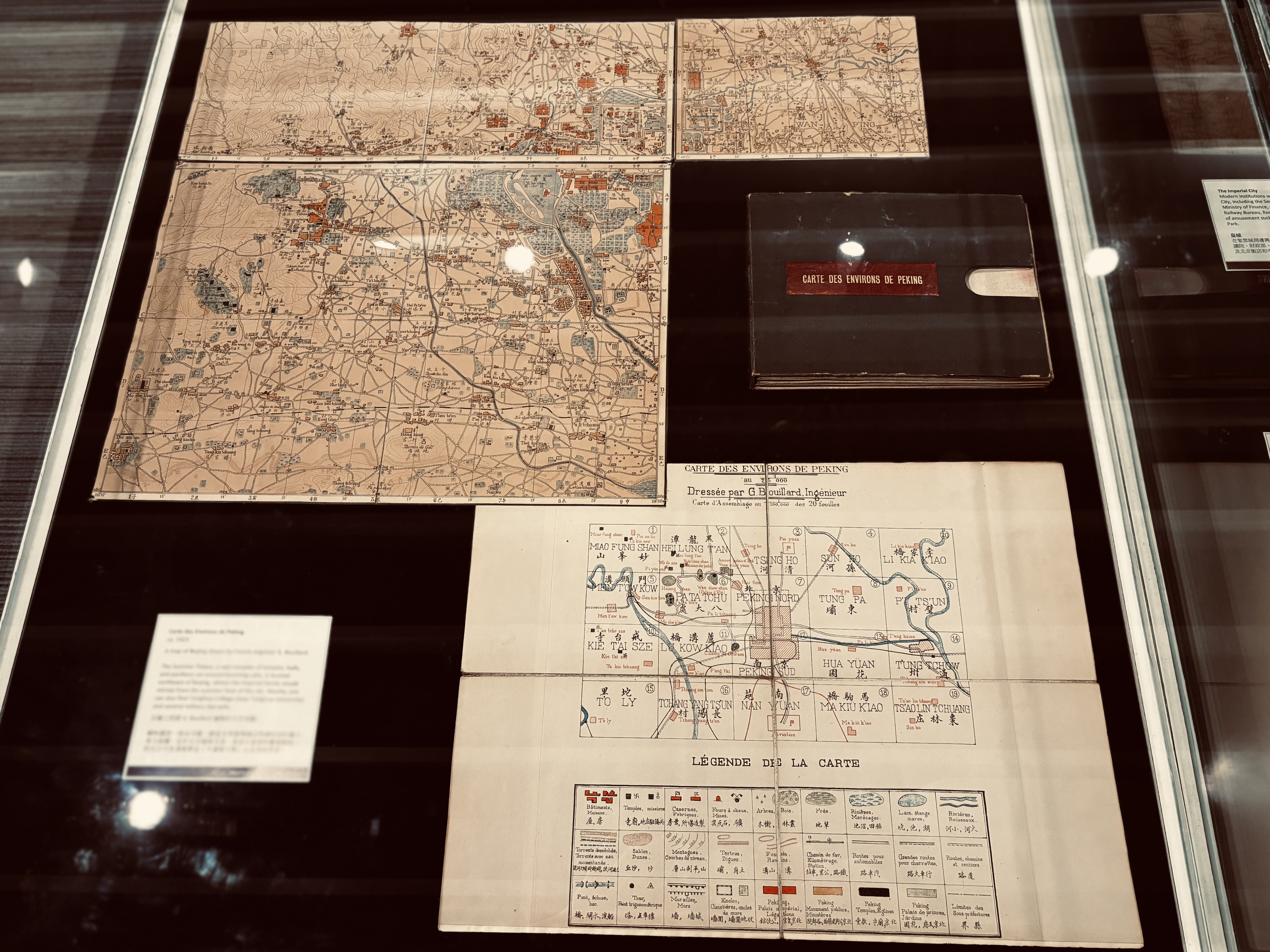
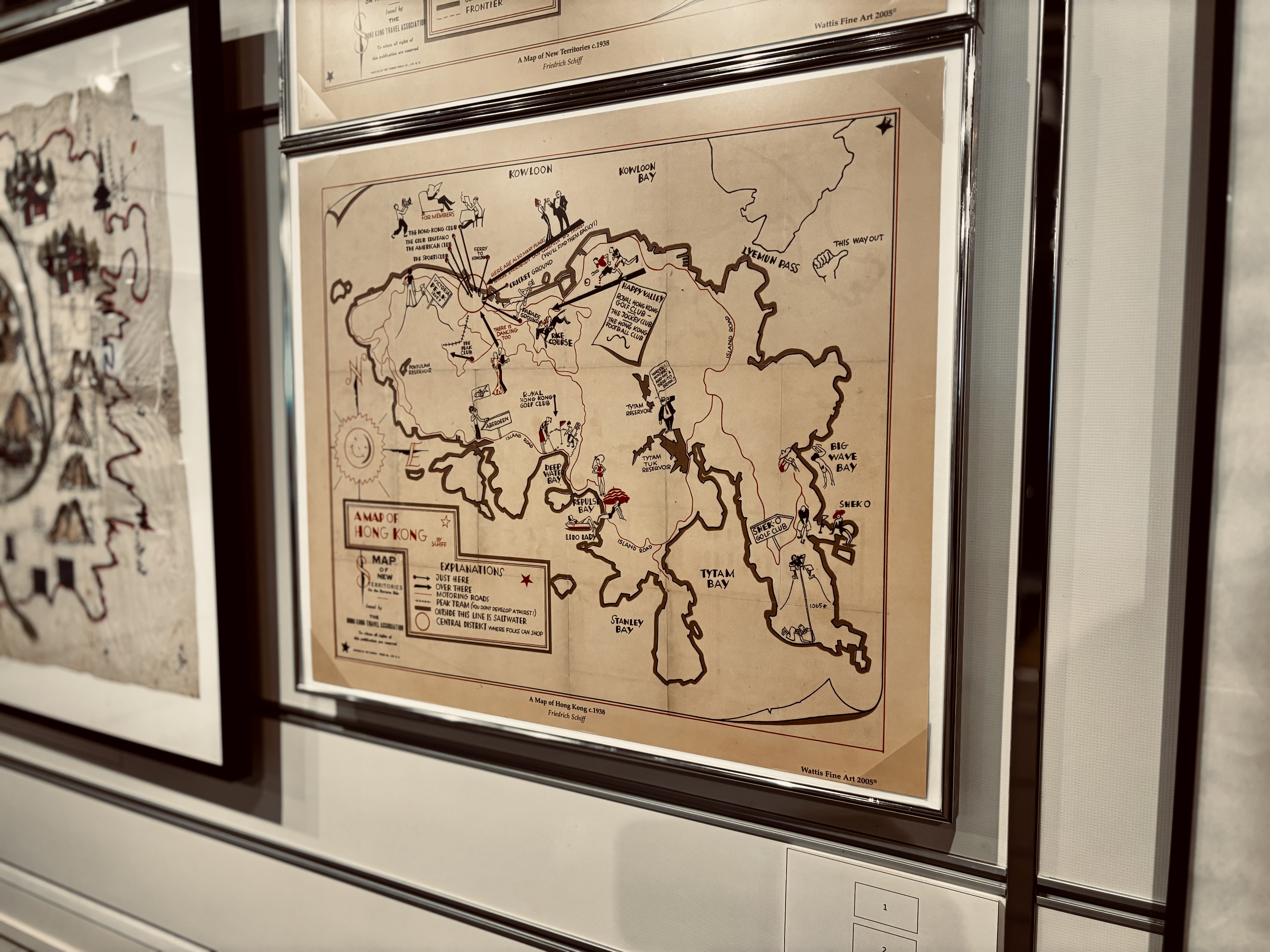
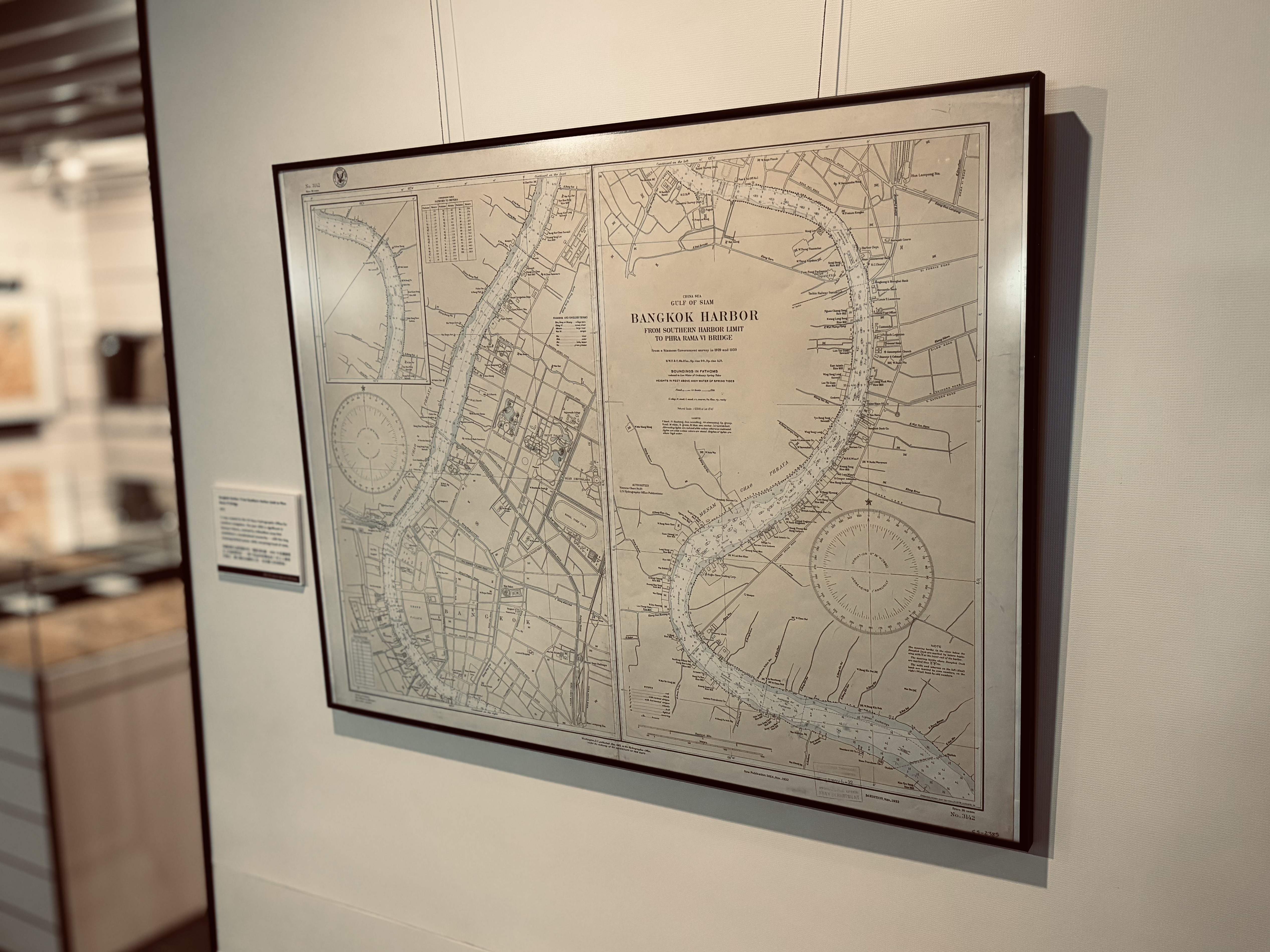
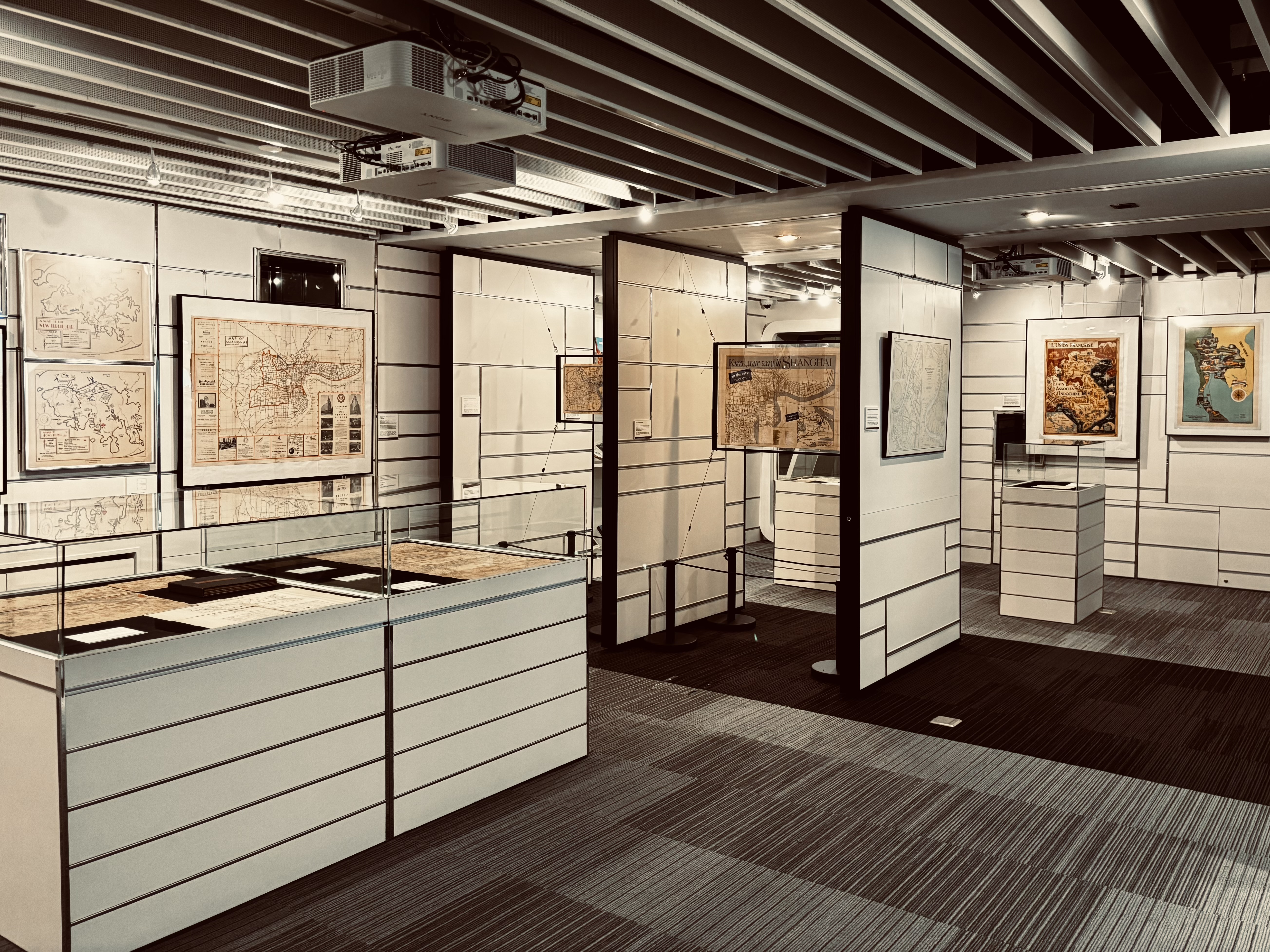
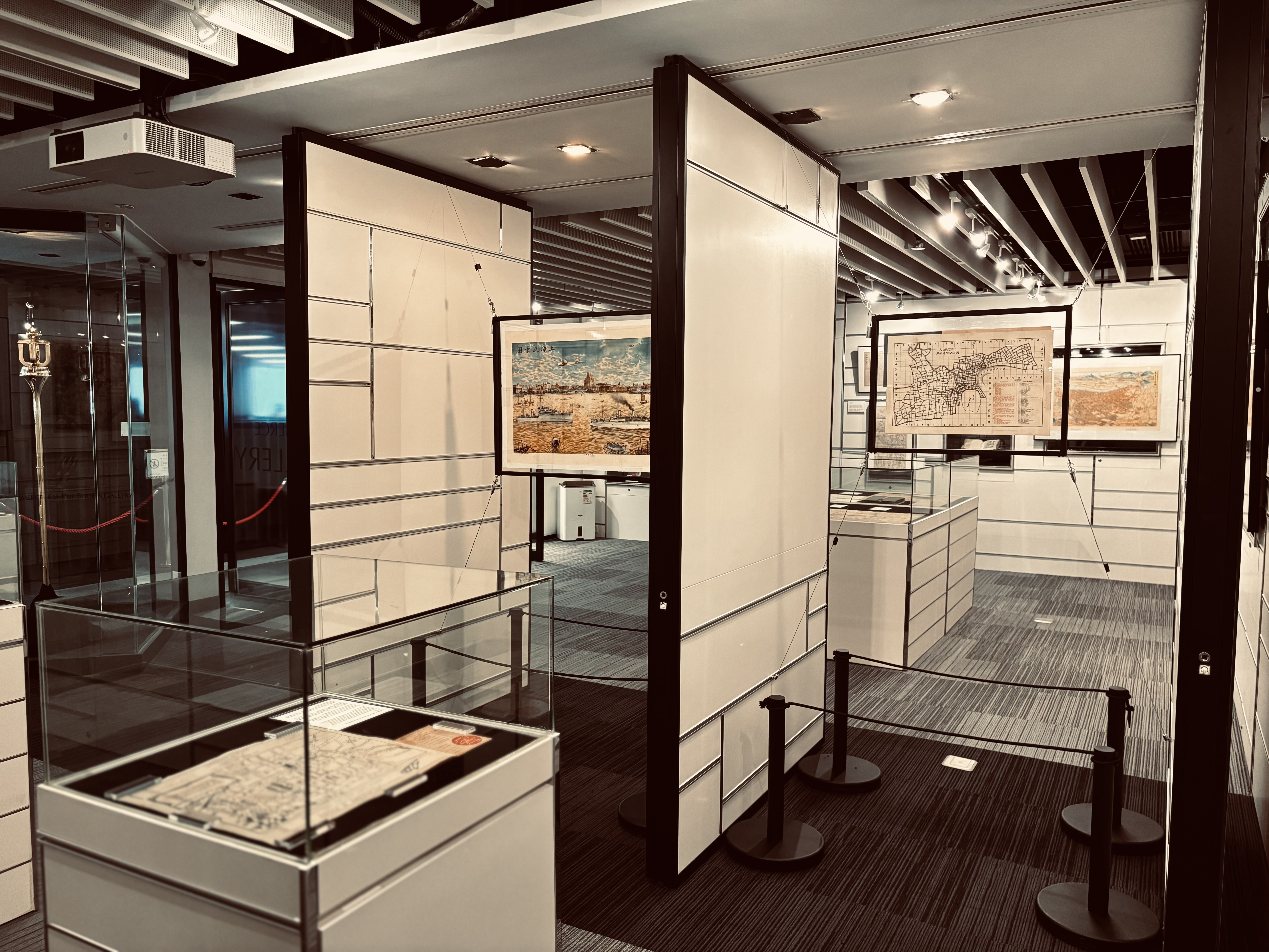
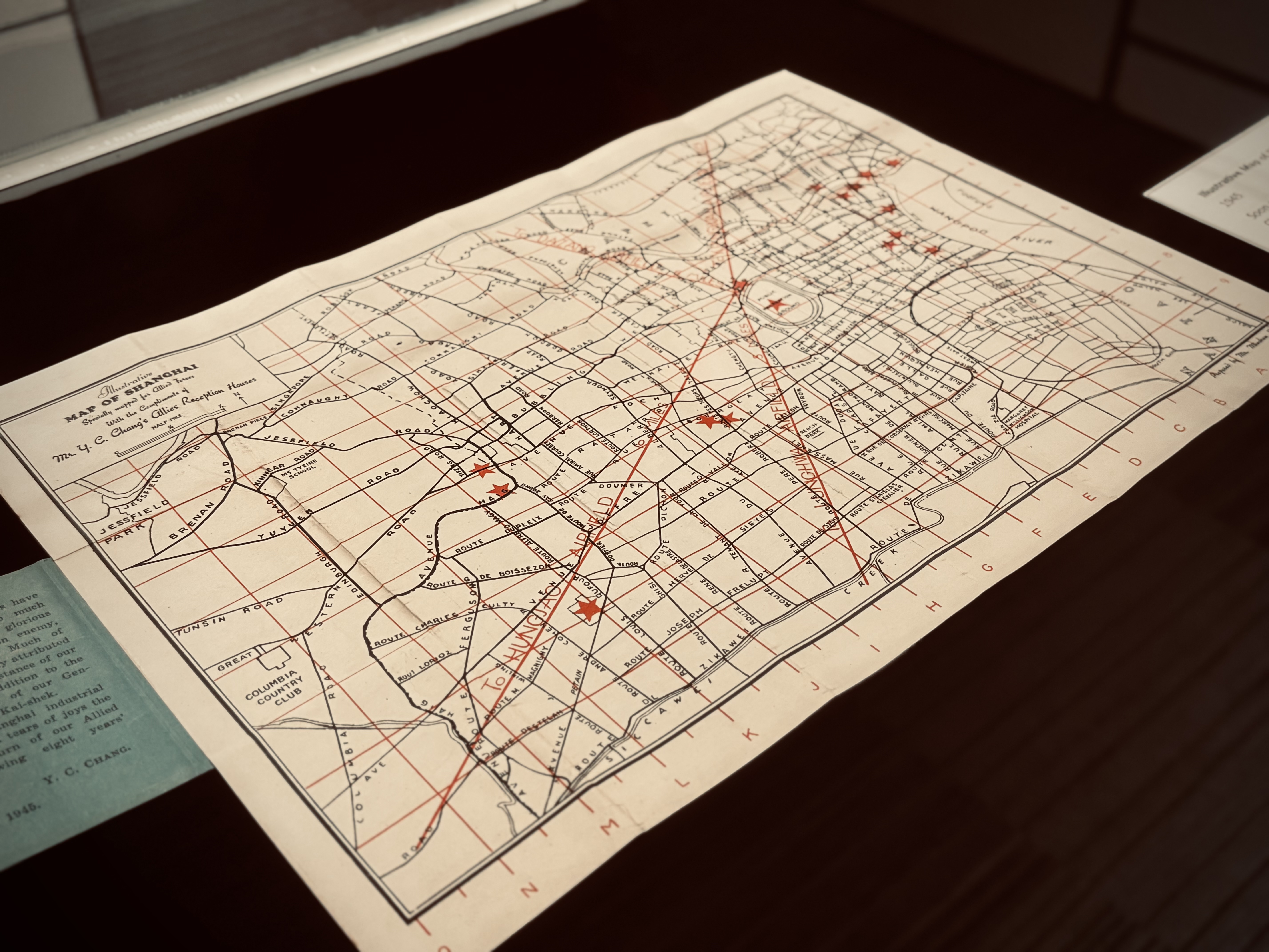
Featured exhibits include maps for touring Shanghai, Beijing, Taipei, and Thailand. Dive into these materials and discover how Asia was spatially visualized and explored by leisure travelers in the early 20th century — often under a Western gaze.

Tour Schedule
| English | April 15 (Wed) 12:30 – 13:00 | April 27 (Mon) 15:30 – 16:00 | Register Now |
| Cantonese | April 21 (Tue) 12:30 – 13:00 | April 28 (Tue) 12:30 – 13:00 | Register Now |
- The English tour will be led by Terry, a student from the School of Engineering.
- The Cantonese tour will be led by Cherry, a student from the School of Humanities and Social Sciences.
Please note:
- Photos will be taken during the tour. By attending or participating in this event, you are giving your consent to be photographed and you are waiving any and all claims regarding the use of your image by the University.
Mon – Fri: 10 am – 5 pm
Sat & Sun: 11 am – 5 pm
Public Holidays: Closed
The Gallery will be temporarily closed from 10:00 am to 2:00 pm on 11 May 2026 (Monday).
