- Date: 18 August, 2022 – 4 April, 2023
- Venue: The Hong Kong Chiu Chow Chamber of Commerce Ko Pui Shuen Gallery
- Opening Hours: Monday – Friday: 9:00 am – 5:00 pm; Saturday, Sunday and public holidays: closed
(Due to campus access controls, visitors who do not have a valid University card please pre-register by sending an e-mail to lbarsc@ust.hk or call 2358-6783 prior to coming for a visit.)
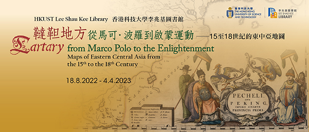
The unique hand colored maps and antique books from the Library Special Collections displayed here offer different stunning visions of China and Central Asia spanning three hundred years of European cartography (15th to 18th centuries), from fabulous dog-headed monsters to maps so precise they can be hardly improved upon by modern GIS.
When Marco Polo (1254-1324) went to China, he didn’t have maps to guide him, just the received knowledge of travelers and old tales from antiquity. At that time, the Silk Road was under the control of the Mongols (known in Europe as “Tartars”). Central Asia and Northern China (Cathay) were therefore known as “Tartary”. When the Mongol empire collapsed in the late 1300s and the Silk Road was blocked, no new information went to Europe for centuries: Europe’s oldest printed maps, dating from the early 1500s show “Tartary” inhabited by monsters and with the Great Khan Kublai (1215-1294) still in command.
When the first Portuguese travelers came to southern China by sea in the 1520s, they followed Marco Polo in calling it “Mangi”. It took the Europeans two more generations to establish that Mangi and Cathay referred to just one country: China. It took them even longer to draw maps that resembled China’s real shape and reflected its native names.
At the eastern and northern borders of European maps of China, though, the names from antiquity and from Marco Polo were still used for centuries; and almost any land from Russia to China was still labeled as unknown Tartary.
Only in the 1700s, with the new scientific approach to exploration and the freer circulation of knowledge, did European cartographers stop using the term “Tartary”. This happened when the Kangxi Emperor (reigned 1661-1722) ordered a detailed survey of his empire, helped by Jesuit scientists, who covertly sent the resulting maps back to Europe, resulting in a large Atlas of “Greater China”. Thus, the “modern” era of western mapping of China was born.


