




Stitch, Spin, Strata: Behind the Victory 1945 StoryMap
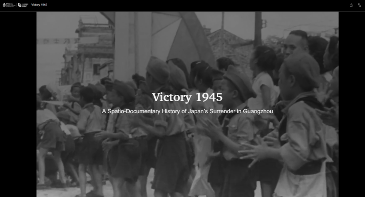
"Victory 1945: A Spatio-Documentary History of Japan's Surrender in Guangzhou" is an interactive digital StoryMap that combines historical documents, photographs, maps, and digital storytelling to reconstruct the events surrounding Japan's surrender in Guangzhou in September 1945.
On September 16, 1945, the formal surrender of Japanese forces in Guangzhou was accepted at Sun Yat-sen Memorial Hall. For the city’s residents, who had lived under occupation since October 1938, it was a moment of joy. Yet for many of us today, it is a moment we barely know.
On September 16, 2026, we officially launched the digital scholarship/digital humanities project, "Victory 1945: A Spatio-Documentary History of Japan’s Surrender in Guangzhou." Following a whole year of preparation, this is the first StoryMap project we have created in collaboration between the Library and Division of Humanities. Given its depth and richness of content, and the effort and time invested, we might call it our own joyful moment of accomplishment, in parallel.
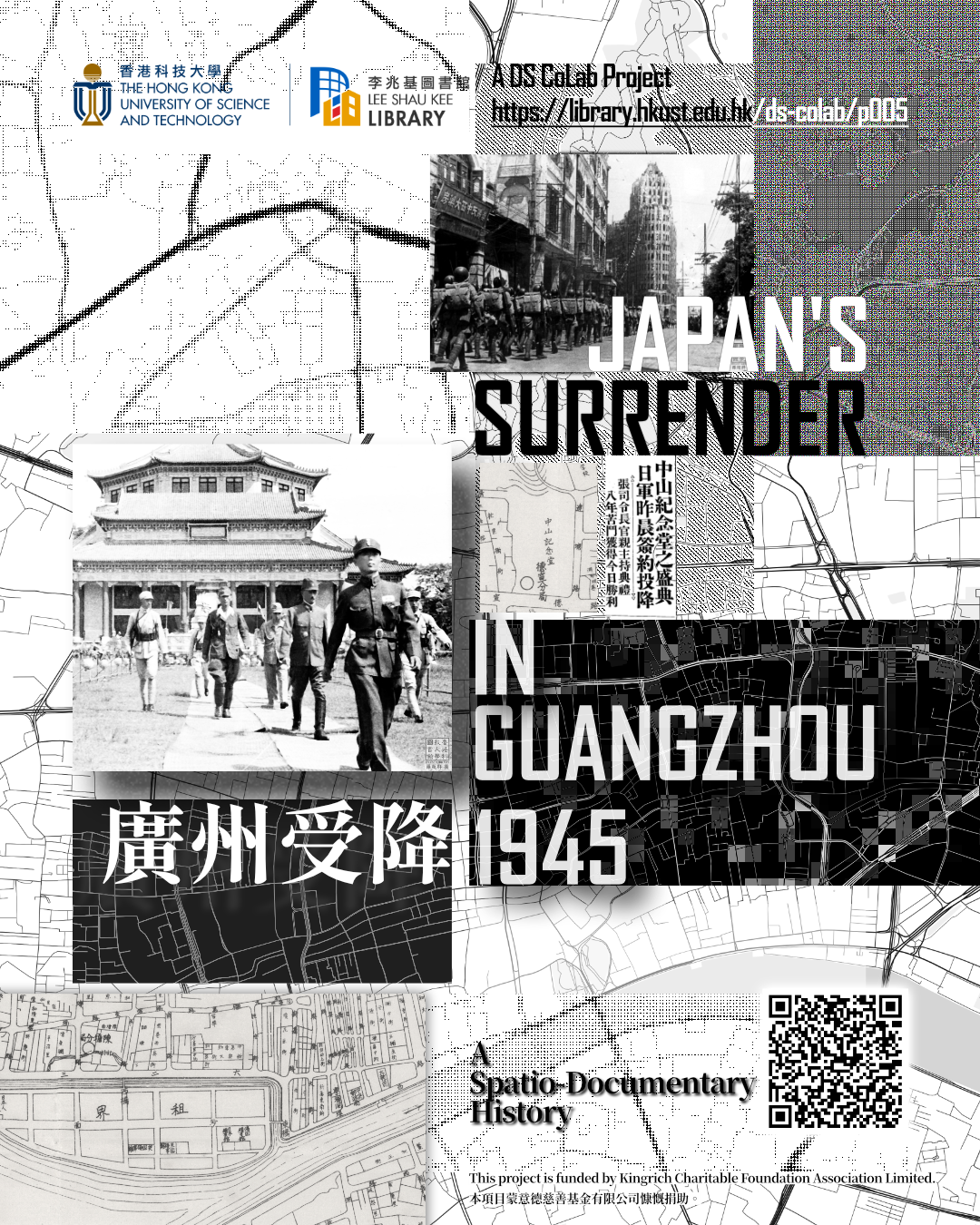
The project is about unearthing untold and forgotten stories, spotlighting the very moment, the place, the locality, and the collectivity. It is about how to adopt multimedia materials and methods to digitally tell a spatial narrative from the perspective of digital humanities. Meanwhile, from the aspect of Library's role in digital scholarship, it is concerned with how to extend and enhance scholarly impact, translating research into approachable stories for the general public.
I worked on copyright clearance, visual design, and front-end coding. I would like to take this chance to share my personal memories of this digital history project, lifting the curtain on the backstage where unseen people, ideas, and efforts brought the project and the story to life.
I. Strata of Copies, Copyrights, and Copying Devices
I sit in the glow of modern monitors, manipulating fluid digital interfaces, yet my work started with the rigid, bureaucratic ghosts of the past: copyright clearance. Before we could tell the story, we first had to secure permission to use many of the photographs, maps, and archival materials that make the project possible.
We were trying to weave together scattered fragments of memory—from the US National Archives, Australian War Memorial, Taiwan’s Academia Historica, Japan's Showakan, and Sun Yat-sen Library of Guangdong Province, to the private, breathtakingly precious historical photography of Lo Chao-Chun.
"It is fair dealing/fair use" seems to be a get-out-of-jail-free card, yet it is not such an easy claim to make. In practice, the process was indeed a humbling exercise in asking for permission, managing institutional liaisons and public relations. It is to address that we value others' rights, and moreover, to understand and assert our own rights, actively protecting the intellectual property we intended to achieve by the project's end, and to minimize administrative effort.
Dang, an interesting twist emerged when viewed through the lens of comparative legal systems and jurisdictional practices.
Every physical letter sent, every form filled out, and every negotiation was a quiet tax we had to pay to secure the sources for the project, and finally to resurrect the lost past. To weave a fascinating fabric of storytelling, we had to identify the unseen threads and tie all the loose ends of multiple threads. Preserving and presenting history began with confronting the complex and interconnected systems of data and metadata, origin and ownership, provenience and provenance. Find the path, or bridge the gap.
An interesting example worth mentioning is that, we were initially required to burn DVDs and ship them across the sea to demonstrate how we used the licensed materials, though we could not find a single burner or such device, outdated for ages, not even a fax machine. At the same time, our lean team was doing its best to adopt AI-assisted workflows.
I noticed the strata, across time and tech, and the stratification across institutions, cultures, and social habits.
II. Stitching Echoes with Code
With the legal boundaries secured, the challenge shifted to the blank digital canvas. How do we translate gigabytes of disjointed, decades-old data into a spatial narrative that breathes?
In front of us were two rare 1940s-era maps of Guangzhou (廣東市街圖, 廣東省地圖) from our Special Collections. But a map is silent until you give it a voice. Our mandate was to code a user interface that didn’t just display archival artifacts, but actively stitched the echoes of 1945 onto the geographic reality of the streets we walk today.
We chose ArcGIS StoryMaps, a platform that combines maps, images, and narrative text into an interactive online experience, as our primary vessel. The goal was never to showcase complex code written from scratch; rather, the technology should fade into the background, allowing the storytelling and visual presentation to take center stage.
To handle the sheer volume of textual history, we experimented with various AI models to perform OCR on over a hundred fading newspaper clippings to convert them into searchable text. It was a beautiful collaboration between artificial intelligence and human curation, extracting the timelines of the victory parade routes and embedding them into the code.
(Read more about our AI-OCR test)
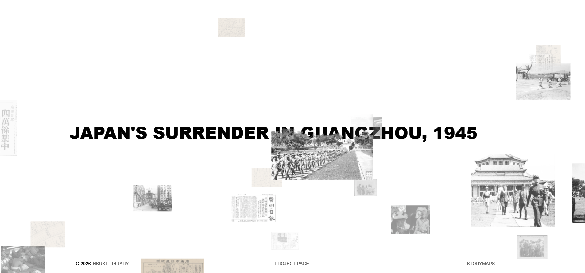
The culmination of this effort was an interactive, infinite digital gallery. I wanted to design a space where history felt tactile, an infinite canvas curated to display these very precious visual materials. When users scroll, they are not just reading text; they are zooming into the high-resolution faces of the crowd, dragging their cursors along this critical moment. Through careful UI/UX design, I would like to transform static, silent images into an immersive space of images. Let the images tell themselves. And the interface is to invite readers to step through the screen, explore the photographs closely and discover details for themselves, and sense the moment in 1945.
(Explore the Infinite Canvas)
III. Spinning Light and Threads
The Co-PI Prof David CHANG once named this project "重光 (Chongguang)."
Historically, it means the liberation and recovery of the city, but it also means bringing dust-covered history back into the light, just as bringing the priceless photography of Lo Chao-Chun back into public view.
We preferred not to be overwhelmed by the grand, abstract narratives. We intentionally curated our visual storytelling to highlight these micro-narratives.
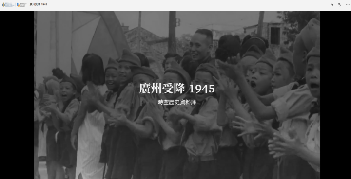
Through our interface, you don’t just see the formal surrender; you see ordinary people. You see the local boy scouts enthusiastically beating their drums on the street corners. You see the nuanced, deeply human moments of Japanese prisoners of war engaging in farm work and playing baseball.
By curating these specific, grounded visuals, we avoided empty preaching. Instead, we offered a profound, visual testament to the resilience of ordinary people caught in the sweeping tides of war.
We wanted the story to be local, relevant, intimate, and empathetic, wishing readers can recognize the same street corners, the demolished yet still remembered architecture, and the scattered tales heard from grandparents or neighbors.
Looking back on this journey, I am struck by how media and technology can bridge the chasm of time. For me, I code and design, on legal, technical, and visual pillars.
This is the conclusion of the project, yet not the end of the story, nor is it simply to archive facts and artefacts. I hope this project can constantly spark curiosity, reflection, and new conversations about the past. And the story continues, preserved in your memories, retold through new voices, and carried forward in its echoes.
(Read and explore our StoryMaps! You can switch between Chinese or English in the top-right corner.)
For further reading, see more behind-the-scenes details in Chinese media reports: 羊城晚報 (Yangcheng Wanbao), 亞洲週刊 (Yazhou Zhoukan).
Yifan WANG
Assistant Librarian (Digital Humanities)
lbyifan@ust.hk
